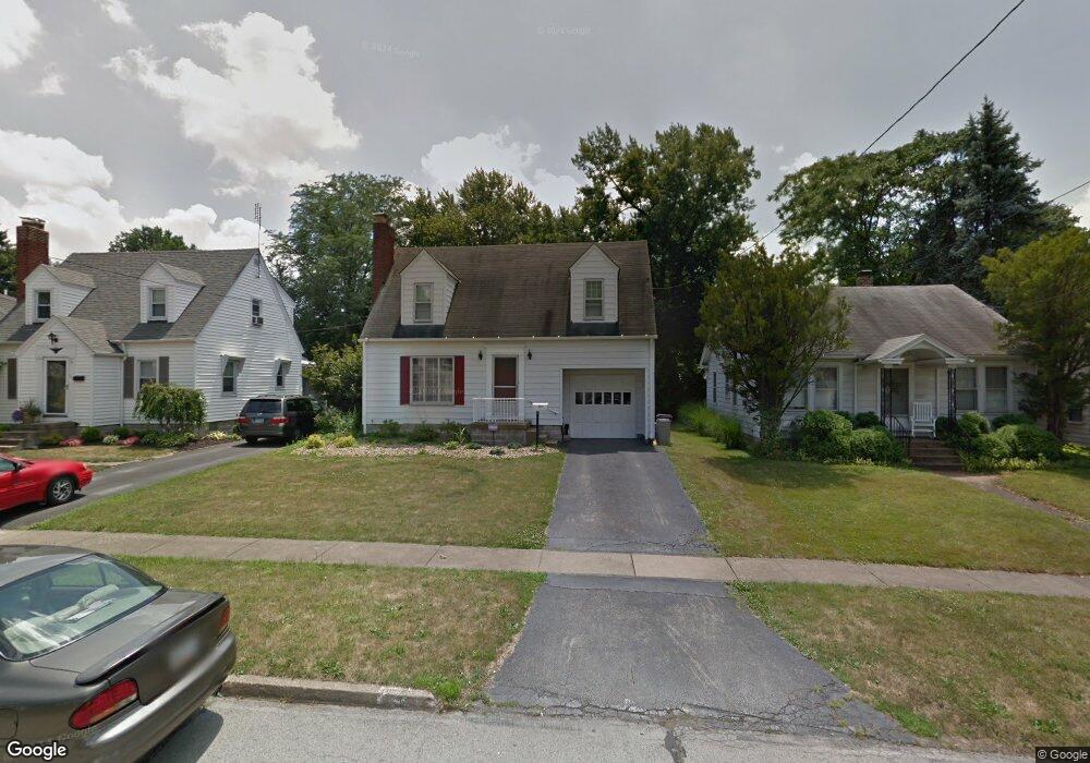
131 Erskine Ave Youngstown, OH 44512
Estimated Value: $113,000 - $128,000
3
Beds
1
Bath
1,014
Sq Ft
$118/Sq Ft
Est. Value
About This Home
This home is located at 131 Erskine Ave, Youngstown, OH 44512 and is currently estimated at $120,126, approximately $118 per square foot. 131 Erskine Ave is a home located in Mahoning County with nearby schools including Boardman Glenwood Junior High School, Boardman High School, and Horizon Science Academy - Youngstown.
Ownership History
Date
Name
Owned For
Owner Type
Purchase Details
Closed on
Dec 3, 2014
Sold by
Turek Joanne M and Turek Leon E
Bought by
Turek Leon E and Francis Lisa L
Current Estimated Value
Purchase Details
Closed on
Jun 17, 2007
Sold by
Sutherin Audrey
Bought by
Turek Leon E and Turek Joanne M
Home Financials for this Owner
Home Financials are based on the most recent Mortgage that was taken out on this home.
Original Mortgage
$54,000
Interest Rate
6.26%
Mortgage Type
Purchase Money Mortgage
Create a Home Valuation Report for This Property
The Home Valuation Report is an in-depth analysis detailing your home's value as well as a comparison with similar homes in the area
Home Values in the Area
Average Home Value in this Area
Purchase History
| Date | Buyer | Sale Price | Title Company |
|---|---|---|---|
| Turek Leon E | -- | Attorney | |
| Turek Leon E | $60,000 | Attorney |
Source: Public Records
Mortgage History
| Date | Status | Borrower | Loan Amount |
|---|---|---|---|
| Previous Owner | Turek Leon E | $54,000 |
Source: Public Records
Tax History Compared to Growth
Tax History
| Year | Tax Paid | Tax Assessment Tax Assessment Total Assessment is a certain percentage of the fair market value that is determined by local assessors to be the total taxable value of land and additions on the property. | Land | Improvement |
|---|---|---|---|---|
| 2024 | $1,542 | $30,420 | $4,180 | $26,240 |
| 2023 | $1,521 | $30,420 | $4,180 | $26,240 |
| 2022 | $1,234 | $18,820 | $3,860 | $14,960 |
| 2021 | $1,235 | $18,820 | $3,860 | $14,960 |
| 2020 | $1,241 | $18,820 | $3,860 | $14,960 |
| 2019 | $1,193 | $16,090 | $3,300 | $12,790 |
| 2018 | $1,023 | $16,090 | $3,300 | $12,790 |
| 2017 | $1,144 | $16,090 | $3,300 | $12,790 |
| 2016 | $1,268 | $19,810 | $3,690 | $16,120 |
| 2015 | $1,242 | $19,810 | $3,690 | $16,120 |
| 2014 | $1,281 | $19,810 | $3,690 | $16,120 |
| 2013 | $1,265 | $19,810 | $3,690 | $16,120 |
Source: Public Records
Map
Nearby Homes
- 127 Melrose Ave
- 167 Afton Ave
- 149 Argyle Ave
- 81 Melrose Ave
- 44 Gertrude Ave
- 175 Homestead Dr
- 329 Afton Ave
- 0 Mathews Rd Unit 5038026
- 0 Indianola Rd
- 197 Mathews Rd Unit B
- 148 Clifton Dr
- 28 Terrace Dr
- 6001 Applecrest Dr
- 83 Beechwood Dr
- 94 Beechwood Dr
- 429 Tudor Ln
- 0 Cranberry Ln Unit 5170595
- 169 Wolcott Dr
- 94 Shadyside Dr
- 60 Shadyside Dr
- 135 Erskine Ave
- 119 Erskine Ave
- 117 Erskine Ave
- 139 Erskine Ave
- 113 Erskine Ave
- 143 Erskine Ave
- 130 Afton Ave
- 134 Afton Ave
- 128 Afton Ave
- 140 Afton Ave
- 124 Afton Ave
- 149 Erskine Ave
- 142 Afton Ave
- 130 Erskine Ave
- 120 Afton Ave
- 136 Erskine Ave
- 126 Erskine Ave
- 122 Erskine Ave
- 144 Erskine Ave
- 151 Erskine Ave