131 Forest Rd Rogersville, TN 37857
Estimated Value: $174,000 - $257,000
3
Beds
2
Baths
1,040
Sq Ft
$202/Sq Ft
Est. Value
About This Home
This home is located at 131 Forest Rd, Rogersville, TN 37857 and is currently estimated at $209,887, approximately $201 per square foot. 131 Forest Rd is a home located in Hawkins County with nearby schools including Joseph Rogers Primary School, Hawkins Elementary School, and Rogersville Middle School.
Ownership History
Date
Name
Owned For
Owner Type
Purchase Details
Closed on
May 19, 2009
Sold by
Kite Martha
Bought by
Buttry Hubert
Current Estimated Value
Home Financials for this Owner
Home Financials are based on the most recent Mortgage that was taken out on this home.
Original Mortgage
$68,732
Outstanding Balance
$43,309
Interest Rate
4.8%
Estimated Equity
$166,578
Purchase Details
Closed on
Jul 16, 2008
Sold by
Dean Jaynes
Bought by
Martha Kite
Purchase Details
Closed on
Aug 1, 1990
Bought by
Jayne Dean and Jayne Diane
Purchase Details
Closed on
May 24, 1983
Bought by
Kite H A
Create a Home Valuation Report for This Property
The Home Valuation Report is an in-depth analysis detailing your home's value as well as a comparison with similar homes in the area
Home Values in the Area
Average Home Value in this Area
Purchase History
| Date | Buyer | Sale Price | Title Company |
|---|---|---|---|
| Buttry Hubert | $70,000 | -- | |
| Martha Kite | $38,000 | -- | |
| Jayne Dean | $38,000 | -- | |
| Kite H A | -- | -- |
Source: Public Records
Mortgage History
| Date | Status | Borrower | Loan Amount |
|---|---|---|---|
| Open | Kite H A | $68,732 |
Source: Public Records
Tax History Compared to Growth
Tax History
| Year | Tax Paid | Tax Assessment Tax Assessment Total Assessment is a certain percentage of the fair market value that is determined by local assessors to be the total taxable value of land and additions on the property. | Land | Improvement |
|---|---|---|---|---|
| 2024 | $618 | $24,200 | $3,800 | $20,400 |
| 2023 | $563 | $24,200 | $0 | $0 |
| 2022 | $561 | $24,200 | $3,800 | $20,400 |
| 2021 | $525 | $24,200 | $3,800 | $20,400 |
| 2020 | $490 | $24,200 | $3,800 | $20,400 |
| 2019 | $490 | $19,350 | $3,375 | $15,975 |
| 2018 | $490 | $19,350 | $3,375 | $15,975 |
| 2017 | $490 | $19,350 | $3,375 | $15,975 |
| 2016 | $468 | $18,475 | $3,375 | $15,100 |
| 2015 | $455 | $18,475 | $3,375 | $15,100 |
| 2014 | $518 | $21,000 | $3,825 | $17,175 |
Source: Public Records
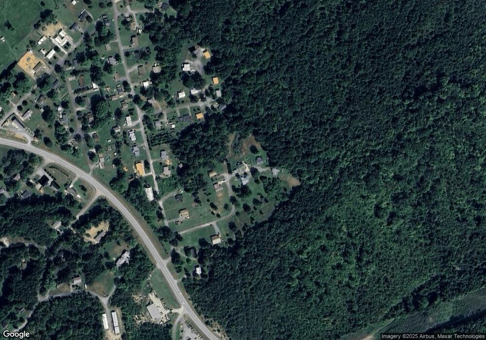
Map
Nearby Homes
- 403 Morningside Dr
- 111 Poplar Dr
- Lot 4 Highway 70s
- Lot 3 Highway 70s
- 156 Reynolds Hills Dr
- Lot 2 Highway 70s
- Lot 1 Highway 70s
- 157 Chuck Rd
- Tbd Kite Rd
- 142 Old State Highway 70
- 140 Roberts Rd
- 2586 Highway 66 S
- 1279 Old State Highway 70
- Tbd Flora Rd
- 196 Heck Hollow Rd
- 000 Heck Hollow Rd
- Flora Rd
- Tbd2 Chestnut Town Rd
- Tbd Chestnut Town Rd
- 107 Hollow Hill Ln
- 135 Forest Rd
- 130 Forest Rd
- 127 Forest Rd
- 139 Forest Rd
- 125 Forest Rd
- 118 Forest Rd
- 00 Forest Rd
- 114 Poplar Dr
- 118 Poplar Dr
- 323 Morningside Dr
- 110 Poplar Dr
- 327 Morningside Dr
- 311 Morningside Dr
- 315 Morningside Dr
- 120 Poplar Dr
- 110 Forest Rd
- 104 Poplar Dr
- 124 Poplar Dr
- 121 Poplar Dr
- 320 Morningside Dr