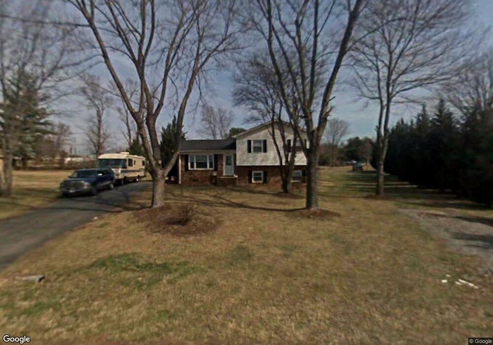
131 Gilda Dr Mount Airy, NC 27030
Estimated Value: $194,000 - $205,695
3
Beds
2
Baths
1,085
Sq Ft
$183/Sq Ft
Est. Value
About This Home
This home is located at 131 Gilda Dr, Mount Airy, NC 27030 and is currently estimated at $198,924, approximately $183 per square foot. 131 Gilda Dr is a home located in Surry County with nearby schools including Pilot Mountain Elementary School, Pilot Mountain Middle School, and East Surry High School.
Ownership History
Date
Name
Owned For
Owner Type
Purchase Details
Closed on
Feb 14, 2006
Sold by
Ctg Construction Services Llc
Bought by
Flores Robert F and Edwards Cassandra B
Current Estimated Value
Home Financials for this Owner
Home Financials are based on the most recent Mortgage that was taken out on this home.
Original Mortgage
$20,000
Interest Rate
5.66%
Mortgage Type
Unknown
Create a Home Valuation Report for This Property
The Home Valuation Report is an in-depth analysis detailing your home's value as well as a comparison with similar homes in the area
Home Values in the Area
Average Home Value in this Area
Purchase History
| Date | Buyer | Sale Price | Title Company |
|---|---|---|---|
| Flores Robert F | $93,000 | None Available |
Source: Public Records
Mortgage History
| Date | Status | Borrower | Loan Amount |
|---|---|---|---|
| Closed | Flores Robert F | $20,000 | |
| Open | Flores Robert F | $72,700 |
Source: Public Records
Tax History Compared to Growth
Tax History
| Year | Tax Paid | Tax Assessment Tax Assessment Total Assessment is a certain percentage of the fair market value that is determined by local assessors to be the total taxable value of land and additions on the property. | Land | Improvement |
|---|---|---|---|---|
| 2025 | $793 | $127,650 | $12,350 | $115,300 |
| 2024 | $655 | $97,730 | $12,350 | $85,380 |
| 2023 | $644 | $97,730 | $12,350 | $85,380 |
| 2022 | $644 | $97,730 | $12,350 | $85,380 |
| 2021 | $655 | $97,730 | $12,350 | $85,380 |
| 2020 | $587 | $83,810 | $12,350 | $71,460 |
| 2019 | $584 | $83,810 | $12,350 | $71,460 |
| 2018 | $583 | $83,810 | $0 | $0 |
| 2017 | $581 | $83,810 | $0 | $0 |
| 2016 | $581 | $83,810 | $0 | $0 |
| 2013 | -- | $85,240 | $0 | $0 |
Source: Public Records
Map
Nearby Homes
- 177 Janice Dr
- 208 Holly Ave
- 201 Circle View Rd
- 278 Old Us Highway 52
- 366 Sheep Farm Rd
- 200 Englewood Trail
- 2326 Westfield Rd
- 115 Stout Ln
- Lot 5 Howell Rd
- 2384 Westfield Rd
- 0 Chestnut Ridge Rd
- 446 Gilley Rd
- xx Gilley Rd Unit 20.63 acres
- 00 S Andy Griffith Pkwy
- TBD S Andy Griffith Pkwy
- 731 Indian Grove Church Rd
- 181 Fox Walk Ln
- Tbd Farmbrook Rd
- 01 Farmbrook Rd
- 000000 Farmbrook Rd
- 125 Gilda Dr
- 130 Gilda Dr
- 696 Holly Springs Rd
- 670 Holly Springs Rd
- 686 Holly Springs Rd
- 146 Gilda Dr
- 708 Holly Springs Rd
- 157 Janice Dr
- 105 Gilda Dr
- 157 Gilda Dr
- 167 Janice Dr
- 158 Gilda Dr
- 660 Holly Springs Rd
- 165 Gilda Dr
- 168 Gilda Dr
- 722 Holly Springs Rd
- 148 Janice Dr
- 140 Janice Dr
- 703 Holly Springs Rd
- 187 Janice Dr