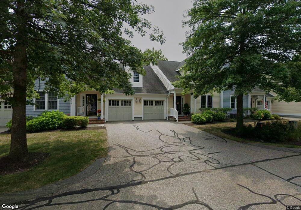
131 Godfrey Dr Norton, MA 02766
Estimated Value: $600,438 - $675,000
2
Beds
3
Baths
2,043
Sq Ft
$306/Sq Ft
Est. Value
About This Home
This home is located at 131 Godfrey Dr, Norton, MA 02766 and is currently estimated at $625,110, approximately $305 per square foot. 131 Godfrey Dr is a home located in Bristol County with nearby schools including J.C. Solmonese Elementary School, Henri A. Yelle Elementary School, and Norton Middle School.
Ownership History
Date
Name
Owned For
Owner Type
Purchase Details
Closed on
Jan 13, 2021
Sold by
Almon Austin A and Almon Jacqueline L
Bought by
131 Godfrey Dr Rt
Current Estimated Value
Purchase Details
Closed on
Apr 15, 2004
Sold by
Thorndike Prop Of Mass
Bought by
Almon Austin A and Almon Jacqueline L
Home Financials for this Owner
Home Financials are based on the most recent Mortgage that was taken out on this home.
Original Mortgage
$175,000
Interest Rate
5.58%
Mortgage Type
Purchase Money Mortgage
Create a Home Valuation Report for This Property
The Home Valuation Report is an in-depth analysis detailing your home's value as well as a comparison with similar homes in the area
Home Values in the Area
Average Home Value in this Area
Purchase History
| Date | Buyer | Sale Price | Title Company |
|---|---|---|---|
| 131 Godfrey Dr Rt | -- | None Available | |
| Almon Austin A | $393,395 | -- |
Source: Public Records
Mortgage History
| Date | Status | Borrower | Loan Amount |
|---|---|---|---|
| Previous Owner | Almon Austin A | $175,000 |
Source: Public Records
Tax History Compared to Growth
Tax History
| Year | Tax Paid | Tax Assessment Tax Assessment Total Assessment is a certain percentage of the fair market value that is determined by local assessors to be the total taxable value of land and additions on the property. | Land | Improvement |
|---|---|---|---|---|
| 2025 | $68 | $521,400 | $0 | $521,400 |
| 2024 | $6,557 | $506,300 | $0 | $506,300 |
| 2023 | $6,169 | $474,900 | $0 | $474,900 |
| 2022 | $6,351 | $445,400 | $0 | $445,400 |
| 2021 | $6,166 | $413,000 | $0 | $413,000 |
| 2020 | $6,018 | $406,600 | $0 | $406,600 |
| 2019 | $5,863 | $393,500 | $0 | $393,500 |
| 2018 | $5,765 | $380,300 | $0 | $380,300 |
| 2017 | $5,518 | $359,000 | $0 | $359,000 |
| 2016 | $5,556 | $355,900 | $0 | $355,900 |
| 2015 | $5,134 | $333,600 | $0 | $333,600 |
| 2014 | $4,981 | $324,100 | $0 | $324,100 |
Source: Public Records
Map
Nearby Homes
- 157 Mansfield Ave Unit 14
- 250 Mansfield Ave Unit 66
- 93 Mansfield Ave
- 15 Reservoir St Unit 44
- 21 Juniper Rd
- 39 Evergreen Rd
- 15 Patten Rd
- 18 Columbine Rd
- 268 Reservoir St
- 10 Ridge Rd
- 0 Brook Pkwy
- 37 Oakleaf Dr
- 12 Sylvan Rd
- 9 Larson Farm Dr
- 23 Indian Rd
- 14 Country Club Way
- 2 Oak St Unit 2D
- 2 Oak St Unit 2A
- 2 Oak St Unit 2C
- 2 Oak St Unit 2B
- 135 Godfrey Dr
- 134 Godfrey Dr
- 133 Godfrey Dr
- 132 Godfrey Dr
- 156 Godfrey Dr
- 155 Godfrey Dr
- 154 Godfrey Dr
- 153 Godfrey Dr
- 152 Godfrey Dr
- 151 Godfrey Dr
- 151 Godfrey Dr Unit Wheaton:151
- 152 Godfrey Drive Barker Unit 2,15
- 76 Godfrey Dr
- 75 Godfrey Dr
- 74 Godfrey Dr
- 72 Godfrey Dr
- 71 Godfrey Dr
- 176 Godfrey Dr
- 175 Godfrey Dr
- 174 Godfrey Dr