131 Hatt Rd Westmoreland, NH 03467
Estimated Value: $414,000 - $543,000
2
Beds
3
Baths
1,732
Sq Ft
$275/Sq Ft
Est. Value
About This Home
This home is located at 131 Hatt Rd, Westmoreland, NH 03467 and is currently estimated at $476,255, approximately $274 per square foot. 131 Hatt Rd is a home located in Cheshire County with nearby schools including Mayland Early College High School and Keene High School.
Create a Home Valuation Report for This Property
The Home Valuation Report is an in-depth analysis detailing your home's value as well as a comparison with similar homes in the area
Home Values in the Area
Average Home Value in this Area
Tax History Compared to Growth
Tax History
| Year | Tax Paid | Tax Assessment Tax Assessment Total Assessment is a certain percentage of the fair market value that is determined by local assessors to be the total taxable value of land and additions on the property. | Land | Improvement |
|---|---|---|---|---|
| 2024 | $6,459 | $280,087 | $66,987 | $213,100 |
| 2023 | $5,966 | $280,218 | $67,118 | $213,100 |
| 2022 | $5,760 | $280,302 | $67,202 | $213,100 |
| 2021 | $5,733 | $281,020 | $67,220 | $213,800 |
| 2020 | $5,583 | $219,820 | $53,320 | $166,500 |
| 2019 | $5,903 | $219,857 | $53,357 | $166,500 |
| 2018 | $5,586 | $219,245 | $53,345 | $165,900 |
| 2017 | $5,480 | $219,192 | $53,292 | $165,900 |
| 2016 | $5,441 | $219,140 | $53,240 | $165,900 |
| 2015 | $5,075 | $232,671 | $56,171 | $176,500 |
| 2014 | $5,067 | $232,667 | $56,167 | $176,500 |
| 2012 | $4,892 | $231,526 | $70,600 | $160,926 |
Source: Public Records
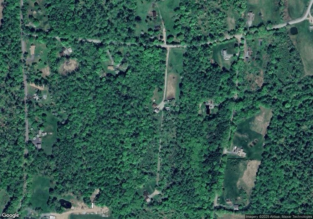
Map
Nearby Homes
- 43 Westmoreland Rd
- 36 Canal St
- 563 N Shore Rd
- 48 Church St
- 85 Foley Rd
- 000 S Village Rd Unit 13
- 601 River Rd S
- 123 Poocham Rd
- 14 Hurricane Rd
- 821 Route 9
- 1123 River Rd
- 0 Stow Dr Unit 4929741
- 00 S Pine Banks Rd
- 136 Cross Rd
- 119 Main St
- 15 Stearns Rd
- 13 Kimball Hill
- 484 Old Swanzey Rd
- 30 Farr Rd
- 00 Orchard Rd Unit 1