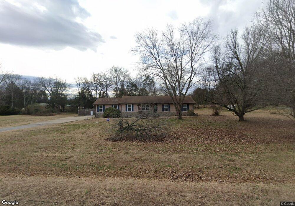
131 Jennings Ln Gallatin, TN 37066
Estimated Value: $269,000 - $433,000
--
Bed
2
Baths
1,452
Sq Ft
$251/Sq Ft
Est. Value
About This Home
This home is located at 131 Jennings Ln, Gallatin, TN 37066 and is currently estimated at $363,786, approximately $250 per square foot. 131 Jennings Ln is a home located in Sumner County with nearby schools including Station Camp High School.
Ownership History
Date
Name
Owned For
Owner Type
Purchase Details
Closed on
Feb 7, 2020
Sold by
Pregel Edward L and Pregel Judy B
Bought by
Webb Michael Jay
Current Estimated Value
Home Financials for this Owner
Home Financials are based on the most recent Mortgage that was taken out on this home.
Original Mortgage
$100,000
Outstanding Balance
$88,777
Interest Rate
3.74%
Mortgage Type
New Conventional
Estimated Equity
$275,009
Purchase Details
Closed on
Sep 13, 2002
Sold by
Harrington John G and Harrington Gloria J
Bought by
Pregel Edward L and Pregel Judy B
Home Financials for this Owner
Home Financials are based on the most recent Mortgage that was taken out on this home.
Original Mortgage
$111,600
Interest Rate
6.19%
Create a Home Valuation Report for This Property
The Home Valuation Report is an in-depth analysis detailing your home's value as well as a comparison with similar homes in the area
Home Values in the Area
Average Home Value in this Area
Purchase History
| Date | Buyer | Sale Price | Title Company |
|---|---|---|---|
| Webb Michael Jay | $125,000 | Stewart Title Company Tn Div | |
| Pregel Edward L | $124,000 | -- |
Source: Public Records
Mortgage History
| Date | Status | Borrower | Loan Amount |
|---|---|---|---|
| Open | Webb Michael Jay | $100,000 | |
| Previous Owner | Pregel Edward L | $111,600 |
Source: Public Records
Tax History Compared to Growth
Tax History
| Year | Tax Paid | Tax Assessment Tax Assessment Total Assessment is a certain percentage of the fair market value that is determined by local assessors to be the total taxable value of land and additions on the property. | Land | Improvement |
|---|---|---|---|---|
| 2024 | $1,066 | $75,000 | $19,325 | $55,675 |
| 2023 | $991 | $44,025 | $14,075 | $29,950 |
| 2022 | $996 | $44,025 | $14,075 | $29,950 |
| 2021 | $996 | $44,025 | $14,075 | $29,950 |
| 2020 | $996 | $44,025 | $14,075 | $29,950 |
| 2019 | $996 | $0 | $0 | $0 |
| 2018 | $1,044 | $0 | $0 | $0 |
| 2017 | $1,044 | $0 | $0 | $0 |
| 2016 | $1,044 | $0 | $0 | $0 |
| 2015 | -- | $0 | $0 | $0 |
| 2014 | -- | $0 | $0 | $0 |
Source: Public Records
Map
Nearby Homes
- 149 Upper Station Camp Crk Rd
- 170 Upper Station Camp Crk Rd
- 402 Upper Station Camp Crk Rd
- 2039 Liberty Ln
- 1935 Liberty Ln
- 101 Santa Rosa Dr
- 1019 Lacebark Ln
- 319 Cloverbrook Way
- 315 Gulfstream Dr
- 1033 Merrick Rd
- 2436 Long Hollow Pike
- 1080 Abberley Cir
- 337 Carellton Dr
- 308 Cheval Dr
- 427 Deveron Dr
- 137 Cavalcade Loop
- 360 Turfway Park
- The Ridgeport Plan at Carellton
- 249 Cavalcade Loop
- 172 Cavalcade Loop
- 141 Jennings Ln
- 115 Jennings Ln
- 134 Jennings Ln
- 140 Jennings Ln
- 113 Jennings Ln
- 113 Jennings Rd
- 116 Jennings Ln
- 152 Jennings Rd
- 157 Upper Station Camp Crk Rd
- 112 Jennings Ln
- 207 Upper Station Camp Crk Rd
- 189 Upper Station Camp Crk Rd
- 161 Jennings Rd
- 203 Upper Station Camp Crk Rd
- 166 Jennings Rd
- 141 Upper Station Camp Crk Rd
- 161 Jennings Rd
- 166 Upper Station Camp Crk Rd
- 301 Upper Station Camp Crk Rd
- 215 Upper Station Camp Crk Rd