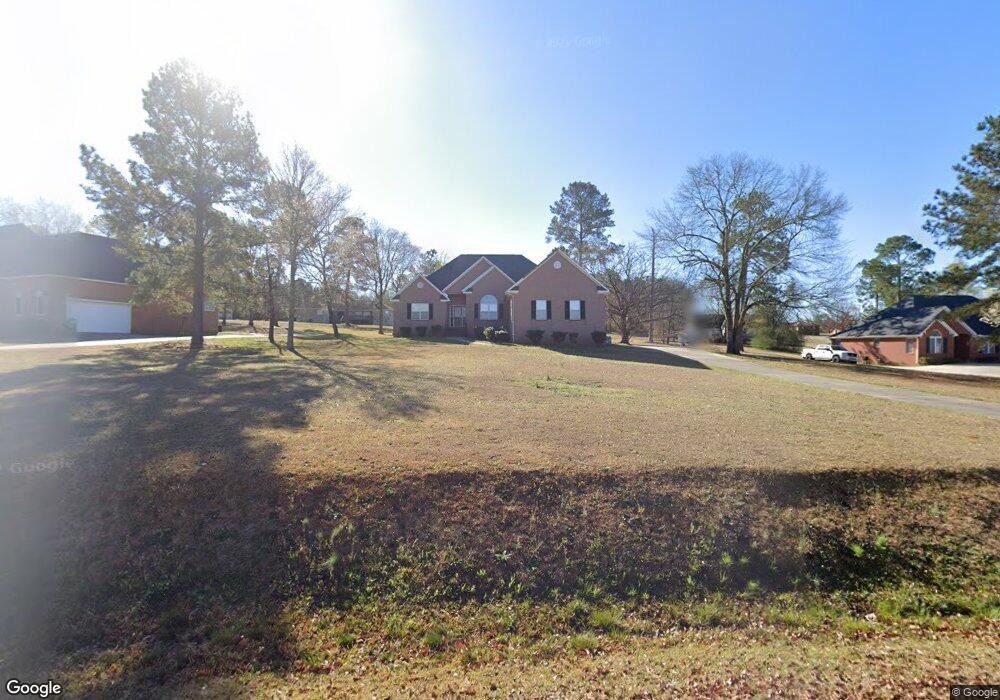
131 John Michael Dr Macon, GA 31211
Estimated Value: $246,000 - $299,000
Studio
2
Baths
2,386
Sq Ft
$114/Sq Ft
Est. Value
About This Home
This home is located at 131 John Michael Dr, Macon, GA 31211 and is currently estimated at $271,294, approximately $113 per square foot. 131 John Michael Dr is a home located in Jones County with nearby schools including Mattie Wells Elementary School, Clifton Ridge Middle School, and Jones County High School.
Ownership History
Date
Name
Owned For
Owner Type
Purchase Details
Closed on
Jun 11, 2014
Sold by
Federal National Mortgage Association
Bought by
Stinson V Latanya
Current Estimated Value
Purchase Details
Closed on
Mar 1, 2011
Sold by
Suntrust Mtg Inc
Bought by
Federal National Mortgage Association
Purchase Details
Closed on
Oct 14, 2004
Sold by
Starling Harris Shir
Bought by
Stinson Latanya V
Purchase Details
Closed on
Sep 29, 2000
Bought by
Starling Harris Shir
Purchase Details
Closed on
Nov 17, 1999
Sold by
J & W Custom Homes
Bought by
Wooten Jessie Dba
Purchase Details
Closed on
Dec 7, 1996
Bought by
Stancil Miles W and Stancil Do
Create a Home Valuation Report for This Property
The Home Valuation Report is an in-depth analysis detailing your home's value as well as a comparison with similar homes in the area
Purchase History
| Date | Buyer | Sale Price | Title Company |
|---|---|---|---|
| Stinson V Latanya | -- | -- | |
| Federal National Mortgage Association | $141,931 | -- | |
| Suntrust Mtg Inc | $141,931 | -- | |
| Stinson Latanya V | $169,500 | -- | |
| Starling Harris Shir | $156,000 | -- | |
| Wooten Jessie Dba | $17,000 | -- | |
| Stancil Miles W | $12,700 | -- |
Source: Public Records
Tax History
| Year | Tax Paid | Tax Assessment Tax Assessment Total Assessment is a certain percentage of the fair market value that is determined by local assessors to be the total taxable value of land and additions on the property. | Land | Improvement |
|---|---|---|---|---|
| 2025 | $4,280 | $130,478 | $12,480 | $117,998 |
| 2024 | $3,430 | $96,554 | $9,600 | $86,954 |
| 2023 | $2,998 | $83,444 | $9,600 | $73,844 |
| 2022 | $2,857 | $79,516 | $9,600 | $69,916 |
| 2021 | $2,860 | $79,516 | $9,600 | $69,916 |
| 2020 | $2,861 | $79,516 | $9,600 | $69,916 |
| 2019 | $2,861 | $79,516 | $9,600 | $69,916 |
| 2018 | $2,861 | $79,516 | $9,600 | $69,916 |
| 2017 | $2,861 | $79,516 | $9,600 | $69,916 |
| 2016 | $2,861 | $79,516 | $9,600 | $69,916 |
| 2015 | $2,706 | $79,516 | $9,600 | $69,916 |
| 2014 | $2,492 | $79,516 | $9,600 | $69,916 |
Source: Public Records
Map
Nearby Homes
- 225 Olivia Cir
- 227 Dusty Ln
- 118 Oakwood Dr
- 3462 Joycliff Rd
- 3608 Joycliff Rd
- 687 Jasmine Dr
- 1030 Sun Valley Ct Unit C55
- 1030 Sun Valley Ct
- 3614 Kingsview Dr
- 1034 Sun Valley Ct Unit C56
- 1034 Sun Valley Ct
- 1038 Sun Valley Ct Unit C57
- 1038 Sun Valley Ct
- 0 Kings Ct N Unit 10666708
- 131 Sun Valley Dr
- 3446 Kingsview Cir
- 0 Champion Dr Unit 10666714
- 168 Ruby Dr
- 240 Neptune Ct
- 201 Joycliff Cir
- 123 John Michael Dr
- 137 John Michael Dr
- 215 Dusty Ln
- 128 John Michael Dr
- 221 Dusty Ln
- 136 John Michael Dr
- 115 John Michael Dr
- 118 John Michael Dr
- 109 Olivia Cir
- 147 John Michael Dr
- 201 Olivia Cir
- 109 John Michael Dr
- 110 John Michael Dr
- 226 Olivia Cir
- 158 Meadow Dr
- 233 Dusty Ln
- 148 John Michael Dr
- 115 Olivia Cir
- 195 Olivia Cir
- 110 Olivia Cir
Your Personal Tour Guide
Ask me questions while you tour the home.