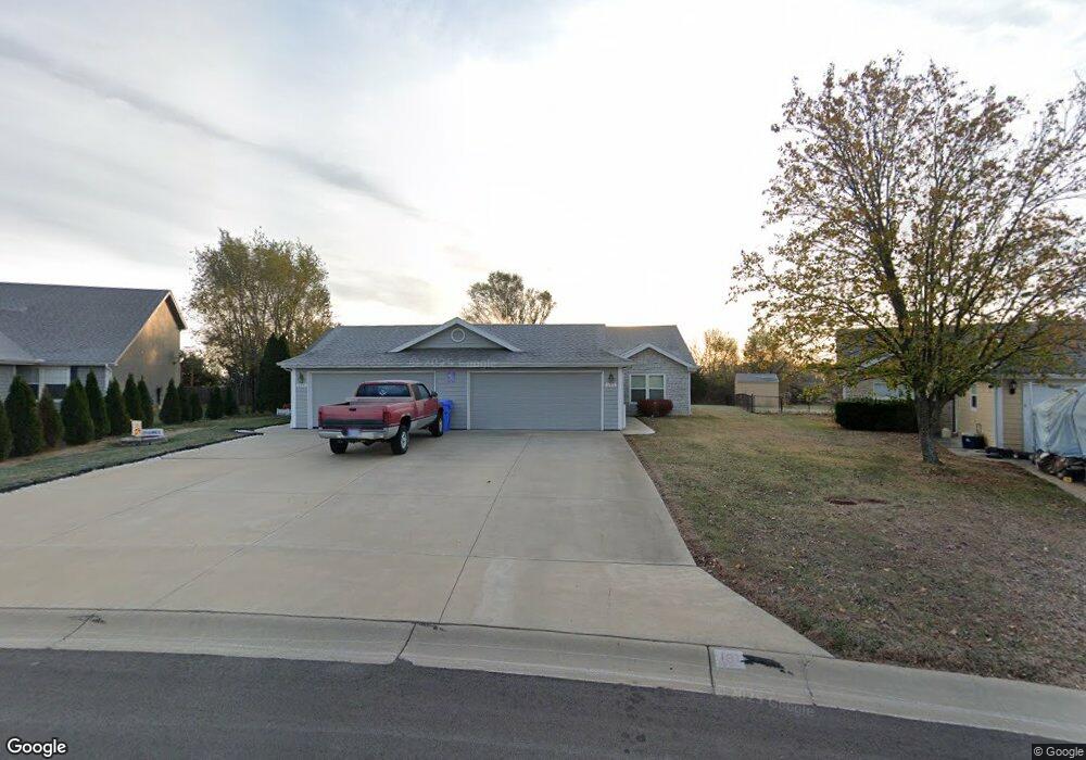
131 Joles Dr Tonganoxie, KS 66086
Estimated Value: $203,000 - $224,744
2
Beds
2
Baths
1,088
Sq Ft
$201/Sq Ft
Est. Value
About This Home
This home is located at 131 Joles Dr, Tonganoxie, KS 66086 and is currently estimated at $218,436, approximately $200 per square foot. 131 Joles Dr is a home located in Leavenworth County with nearby schools including Tonganoxie Elementary School, Tonganoxie Middle School, and Tonganoxie High School.
Ownership History
Date
Name
Owned For
Owner Type
Purchase Details
Closed on
Nov 4, 2003
Sold by
Treehouse Homes Inc
Bought by
Clark Kirby D
Current Estimated Value
Home Financials for this Owner
Home Financials are based on the most recent Mortgage that was taken out on this home.
Original Mortgage
$73,200
Outstanding Balance
$33,487
Interest Rate
5.81%
Mortgage Type
New Conventional
Estimated Equity
$184,949
Create a Home Valuation Report for This Property
The Home Valuation Report is an in-depth analysis detailing your home's value as well as a comparison with similar homes in the area
Home Values in the Area
Average Home Value in this Area
Purchase History
| Date | Buyer | Sale Price | Title Company |
|---|---|---|---|
| Clark Kirby D | $97,356 | Guarantee Title |
Source: Public Records
Mortgage History
| Date | Status | Borrower | Loan Amount |
|---|---|---|---|
| Open | Clark Kirby D | $73,200 |
Source: Public Records
Tax History Compared to Growth
Tax History
| Year | Tax Paid | Tax Assessment Tax Assessment Total Assessment is a certain percentage of the fair market value that is determined by local assessors to be the total taxable value of land and additions on the property. | Land | Improvement |
|---|---|---|---|---|
| 2025 | $2,751 | $20,852 | $3,280 | $17,572 |
| 2024 | $2,734 | $20,244 | $3,106 | $17,138 |
| 2023 | $2,734 | $19,848 | $2,992 | $16,856 |
| 2022 | $2,522 | $17,483 | $2,703 | $14,780 |
| 2021 | $2,352 | $15,894 | $2,703 | $13,191 |
| 2020 | $2,257 | $15,226 | $2,413 | $12,813 |
| 2019 | $1,947 | $13,345 | $2,285 | $11,060 |
| 2018 | $1,834 | $12,589 | $2,285 | $10,304 |
| 2017 | $1,754 | $11,990 | $2,285 | $9,705 |
| 2016 | $1,689 | $11,580 | $2,285 | $9,295 |
| 2015 | $1,596 | $11,040 | $2,285 | $8,755 |
| 2014 | $1,559 | $10,980 | $2,030 | $8,950 |
Source: Public Records
Map
Nearby Homes
- 1950 Jackson Dr
- 1870 Fall Creek Dr
- 1940 E Finch Dr
- 1791 S Park Dr
- 1745 Finch Dr
- 420 Rock Creek Dr
- 2102 Brook Ridge Cir
- 433 Rock Creek Dr
- 403 Rock Creek Dr
- 427 Rock Creek Dr
- 455 Rock Creek Dr
- 441 Rock Creek Dr
- 426 Rock Creek Dr
- 404 Rock Creek Dr
- 432 Rock Creek Dr
- 2274 Woodfield Dr
- 2133 Brook Ridge Cir
- 2288 Woodfield Dr
- 2306 Woodfield Dr
- 2470 Woodfield Dr