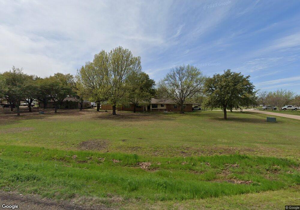
131 Linda Ln Waxahachie, TX 75165
Estimated Value: $406,075 - $446,000
3
Beds
2
Baths
1,987
Sq Ft
$214/Sq Ft
Est. Value
About This Home
This home is located at 131 Linda Ln, Waxahachie, TX 75165 and is currently estimated at $426,038, approximately $214 per square foot. 131 Linda Ln is a home located in Ellis County with nearby schools including Dunaway Elementary School, Eddie Finley Junior High School, and Waxahachie High School.
Ownership History
Date
Name
Owned For
Owner Type
Purchase Details
Closed on
Mar 15, 2023
Sold by
Azakytu Brandee Lovella
Bought by
Azakytu Dajadt
Current Estimated Value
Home Financials for this Owner
Home Financials are based on the most recent Mortgage that was taken out on this home.
Original Mortgage
$222,850
Interest Rate
6.78%
Mortgage Type
Seller Take Back
Create a Home Valuation Report for This Property
The Home Valuation Report is an in-depth analysis detailing your home's value as well as a comparison with similar homes in the area
Home Values in the Area
Average Home Value in this Area
Purchase History
| Date | Buyer | Sale Price | Title Company |
|---|---|---|---|
| Azakytu Dajadt | -- | None Listed On Document |
Source: Public Records
Mortgage History
| Date | Status | Borrower | Loan Amount |
|---|---|---|---|
| Previous Owner | Azakytu Dajadt | $222,850 |
Source: Public Records
Tax History Compared to Growth
Tax History
| Year | Tax Paid | Tax Assessment Tax Assessment Total Assessment is a certain percentage of the fair market value that is determined by local assessors to be the total taxable value of land and additions on the property. | Land | Improvement |
|---|---|---|---|---|
| 2025 | $6,819 | $322,524 | -- | -- |
| 2024 | $6,819 | $449,333 | $100,000 | $349,333 |
| 2023 | $6,819 | $266,549 | $0 | $0 |
| 2022 | $4,087 | $242,317 | $0 | $0 |
| 2021 | $3,865 | $338,850 | $57,500 | $281,350 |
| 2020 | $3,780 | $331,550 | $57,500 | $274,050 |
| 2019 | $2,115 | $125,330 | $0 | $0 |
| 2018 | $1,515 | $96,150 | $12,000 | $84,150 |
| 2017 | $1,899 | $92,990 | $12,000 | $80,990 |
| 2016 | $1,816 | $89,260 | $12,000 | $77,260 |
| 2015 | $1,155 | $84,320 | $12,000 | $72,320 |
| 2014 | $1,155 | $73,490 | $0 | $0 |
Source: Public Records
Map
Nearby Homes
- 1302 Forreston Rd
- TBD Rd
- 2038 Forreston Rd
- 2028 Forreston Rd
- 121.797Ac Fm-55
- 3220 Farm To Market 55
- Lot A Holder Rd
- TBD West Rd
- 0 E Pecan Tree Rd
- TBD 2.75 ac Nash-Howard Rd
- 1035 Holder Rd
- 765 Holder Rd
- 470 Forreston Rd
- TBD Fm-55
- 000 W Pecan Tree Rd
- 201 West Rd
- 527 W Pecan Tree Rd
- TBD 6.922ac Farm To Market Road 877
- TBD 2.75 ac Farm To Market Road 877
- 784 Fm 55