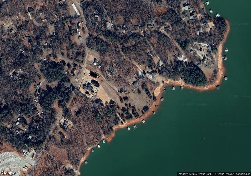
131 Maffett Cir Anderson, SC 29625
Estimated Value: $333,000 - $527,000
--
Bed
--
Bath
998
Sq Ft
$393/Sq Ft
Est. Value
About This Home
This home is located at 131 Maffett Cir, Anderson, SC 29625 and is currently estimated at $392,570, approximately $393 per square foot. 131 Maffett Cir is a home with nearby schools including Pendleton High School.
Ownership History
Date
Name
Owned For
Owner Type
Purchase Details
Closed on
Aug 29, 2023
Sold by
Black Dog Investments Llc and Blackbird Investments Llc
Bought by
Howard Steve
Current Estimated Value
Purchase Details
Closed on
Jan 25, 2008
Sold by
Anderson Randall T and Anderson Faye G
Bought by
Black Dog Investments Llc and Blackbird Investments Llc
Home Financials for this Owner
Home Financials are based on the most recent Mortgage that was taken out on this home.
Original Mortgage
$125,000
Interest Rate
6.12%
Mortgage Type
Purchase Money Mortgage
Purchase Details
Closed on
May 2, 2004
Sold by
Anderson Randall T and Anderson Faye G
Bought by
Anderson Randall T and Anderson Faye G
Create a Home Valuation Report for This Property
The Home Valuation Report is an in-depth analysis detailing your home's value as well as a comparison with similar homes in the area
Home Values in the Area
Average Home Value in this Area
Purchase History
| Date | Buyer | Sale Price | Title Company |
|---|---|---|---|
| Howard Steve | $325,000 | None Listed On Document | |
| Black Dog Investments Llc | $250,000 | Attorney | |
| Anderson Randall T | -- | -- |
Source: Public Records
Mortgage History
| Date | Status | Borrower | Loan Amount |
|---|---|---|---|
| Previous Owner | Black Dog Investments Llc | $125,000 |
Source: Public Records
Tax History Compared to Growth
Tax History
| Year | Tax Paid | Tax Assessment Tax Assessment Total Assessment is a certain percentage of the fair market value that is determined by local assessors to be the total taxable value of land and additions on the property. | Land | Improvement |
|---|---|---|---|---|
| 2024 | $6,579 | $19,510 | $18,070 | $1,440 |
| 2023 | $6,579 | $15,530 | $12,280 | $3,250 |
| 2022 | $4,480 | $15,530 | $12,280 | $3,250 |
| 2021 | $4,094 | $14,090 | $11,160 | $2,930 |
| 2020 | $4,069 | $14,090 | $11,160 | $2,930 |
| 2019 | $4,069 | $14,090 | $11,160 | $2,930 |
| 2018 | $4,010 | $14,090 | $11,160 | $2,930 |
| 2017 | -- | $14,090 | $11,160 | $2,930 |
| 2016 | $3,599 | $11,240 | $8,100 | $3,140 |
| 2015 | $3,609 | $11,240 | $8,100 | $3,140 |
| 2014 | $3,613 | $11,240 | $8,100 | $3,140 |
Source: Public Records
Map
Nearby Homes
- 125 Maffett Cir
- 102 C-4-112a
- 104 C-4-112a
- 106 Topsail Dr
- 712 Whitney Way
- 105 Cliftons Landing Dr
- 104 Pawleys Ct
- 303 Plantation Point
- 115 Woodshore Dr
- 323 Lake Forest Cir
- 104 Midway Dr
- 204 Rock Creek Rd
- 210 Jackson Cir
- 208 Springview Dr
- Lot 113 Hidden Lake Dr
- 125 Hidden Lake Dr
- 130 Windjammer Way
- 111 Kenneth Dr
- 220 Oak Shores Rd
- 1308 Lakewood Ln
- 129 Maffett Cir
- 1501 Asbury Park Rd
- 127 Maffett Cir
- 1421 Asbury Park Rd
- 1421 Asbury Park Rd Unit A
- 133 Maffett Cir
- 1507 Asbury Park Rd
- 1505 Asbury Park Rd
- 1407 Asbury Park Rd
- 5109 Briar Creek Trail
- 1509 Asbury Park Rd
- 0 Maffett Cir
- 0 Briar Creek Trail Unit 7070904
- 0 Briar Creek Trail Unit 3197827
- 1515 Asbury Park Rd
- 1502 Asbury Park Rd
- 1506 Asbury Park Rd
- 1508 Asbury Park Rd
- 1404 Asbury Park Rd
- 1511 Avant Rd
