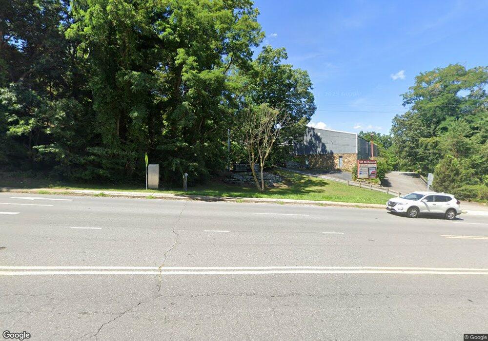
131 Mcdowell St Asheville, NC 28801
Southside NeighborhoodEstimated Value: $3,966,171
--
Bed
--
Bath
14,744
Sq Ft
$269/Sq Ft
Est. Value
About This Home
This home is located at 131 Mcdowell St, Asheville, NC 28801 and is currently priced at $3,966,171, approximately $269 per square foot. 131 Mcdowell St is a home located in Buncombe County with nearby schools including Isaac Dickson Elementary, Hall Fletcher Elementary, and Ira B Jones Elementary.
Ownership History
Date
Name
Owned For
Owner Type
Purchase Details
Closed on
Dec 21, 2015
Sold by
Hayes Medical Properties Llc
Bought by
Duke Energy Progress Llc
Current Estimated Value
Purchase Details
Closed on
Oct 1, 2006
Sold by
Sovereign Medical Properties Llc
Bought by
Frances Hiram Medical Properties Llc
Home Financials for this Owner
Home Financials are based on the most recent Mortgage that was taken out on this home.
Original Mortgage
$325,000
Interest Rate
6.45%
Mortgage Type
Unknown
Create a Home Valuation Report for This Property
The Home Valuation Report is an in-depth analysis detailing your home's value as well as a comparison with similar homes in the area
Home Values in the Area
Average Home Value in this Area
Purchase History
| Date | Buyer | Sale Price | Title Company |
|---|---|---|---|
| Duke Energy Progress Llc | $2,175,000 | None Available | |
| Frances Hiram Medical Properties Llc | $2,500,000 | None Available |
Source: Public Records
Mortgage History
| Date | Status | Borrower | Loan Amount |
|---|---|---|---|
| Previous Owner | Frances Hiram Medical Properties Llc | $325,000 |
Source: Public Records
Tax History Compared to Growth
Tax History
| Year | Tax Paid | Tax Assessment Tax Assessment Total Assessment is a certain percentage of the fair market value that is determined by local assessors to be the total taxable value of land and additions on the property. | Land | Improvement |
|---|---|---|---|---|
| 2025 | -- | -- | -- | -- |
| 2024 | -- | -- | -- | -- |
| 2023 | -- | -- | -- | -- |
| 2022 | -- | $0 | $0 | $0 |
| 2021 | $30,252 | $0 | $0 | $0 |
| 2020 | $30,252 | $0 | $0 | $0 |
| 2019 | $30,252 | $0 | $0 | $0 |
| 2018 | $0 | $0 | $0 | $0 |
| 2017 | $0 | $0 | $0 | $0 |
| 2016 | -- | $0 | $0 | $0 |
| 2015 | $30,252 | $2,461,500 | $0 | $0 |
| 2014 | $29,883 | $2,461,500 | $0 | $0 |
Source: Public Records
Map
Nearby Homes
- 22 Pine Grove Ave
- 128 Choctaw St
- TBD Camby St
- 56 Sherwood Rd
- 3 Lee Garden Ln Unit 103
- 3 Lee Garden Ln Unit 204
- 3 Lee Garden Ln Unit 105
- 7 Haith Dr
- 115 Oakland Rd
- 615 Biltmore Ave Unit M3
- 615 Biltmore Ave Unit K2
- 272 Biltmore Ave
- 71 Buchanan Ave
- 243 Short Coxe Ave
- 108 Southside Ave
- 102 Southside Ave Unit 15
- 25 Ora St
- 15 Grindstaff Dr
- 64 Wyoming Rd
- 289 S French Broad Ave
- 131 McDowell Street - Ste 300 St
- 127 Mcdowell St
- 45 Victoria Rd
- 111 Mcdowell St
- 47 Olive St
- 45 Olive St
- 41 Olive St
- 6 Brooklet St Unit 1
- 6 Brooklet St Unit 2
- 107 Mcdowell St
- 45 Hamilton St
- 30 Olive St
- 1 Myrtle St
- 35 Olive St
- 39 Pine Grove Ave Unit A & B
- 39 Pine Grove Ave
- 68 Livingston St
- 43 Hamilton St
- 74 Livingston St
- 41 Hamilton St