131 Mcgrew Dr Tamworth, NH 03886
Estimated Value: $306,000 - $334,000
4
Beds
2
Baths
1,185
Sq Ft
$273/Sq Ft
Est. Value
About This Home
This home is located at 131 Mcgrew Dr, Tamworth, NH 03886 and is currently estimated at $322,988, approximately $272 per square foot. 131 Mcgrew Dr is a home located in Carroll County with nearby schools including Kenneth A. Brett School.
Ownership History
Date
Name
Owned For
Owner Type
Purchase Details
Closed on
Feb 27, 2025
Sold by
Richard M Learned Ret and Learned
Bought by
Scott Ryan
Current Estimated Value
Home Financials for this Owner
Home Financials are based on the most recent Mortgage that was taken out on this home.
Original Mortgage
$200,000
Outstanding Balance
$199,010
Interest Rate
7.04%
Mortgage Type
Purchase Money Mortgage
Estimated Equity
$123,978
Create a Home Valuation Report for This Property
The Home Valuation Report is an in-depth analysis detailing your home's value as well as a comparison with similar homes in the area
Home Values in the Area
Average Home Value in this Area
Purchase History
| Date | Buyer | Sale Price | Title Company |
|---|---|---|---|
| Scott Ryan | $300,000 | None Available | |
| Scott Ryan | $300,000 | None Available |
Source: Public Records
Mortgage History
| Date | Status | Borrower | Loan Amount |
|---|---|---|---|
| Open | Scott Ryan | $200,000 | |
| Closed | Scott Ryan | $200,000 |
Source: Public Records
Tax History Compared to Growth
Tax History
| Year | Tax Paid | Tax Assessment Tax Assessment Total Assessment is a certain percentage of the fair market value that is determined by local assessors to be the total taxable value of land and additions on the property. | Land | Improvement |
|---|---|---|---|---|
| 2024 | $3,997 | $277,000 | $97,900 | $179,100 |
| 2023 | $4,017 | $159,200 | $67,300 | $91,900 |
| 2022 | $3,784 | $159,200 | $67,300 | $91,900 |
| 2021 | $3,525 | $159,200 | $67,300 | $91,900 |
| 2020 | $3,579 | $159,200 | $67,300 | $91,900 |
| 2019 | $3,429 | $159,200 | $67,300 | $91,900 |
| 2018 | $3,023 | $131,100 | $42,200 | $88,900 |
| 2017 | $2,976 | $131,100 | $42,200 | $88,900 |
| 2016 | $3,007 | $131,100 | $42,200 | $88,900 |
| 2015 | $2,996 | $131,100 | $42,200 | $88,900 |
| 2013 | $2,452 | $122,600 | $31,700 | $90,900 |
Source: Public Records
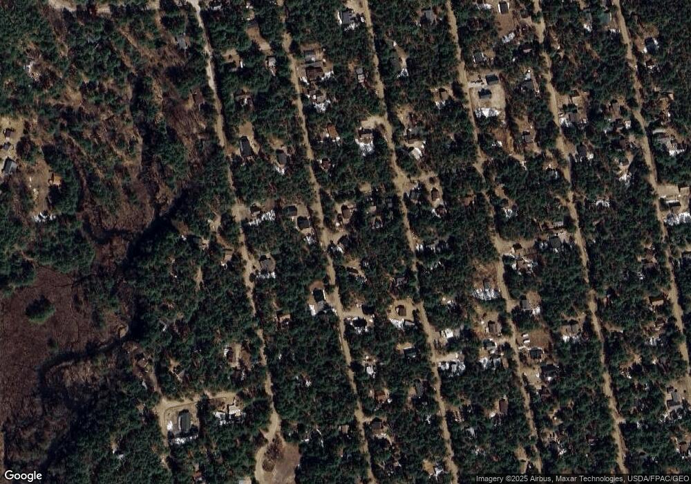
Map
Nearby Homes
- 17 Amidon Ln
- 78 Berry Ln
- 80 Elliot Ln
- Lot 18.1 White Mountain Hwy
- 1118 Turkey St
- 198 White Tail Ln
- 24 Flynn Ln
- 10 Margo Ln
- 00 Caroline Rd
- 748 Plains Rd
- 51 Poco Dr
- 0 Poco Dr Unit 5067927
- 1785 White Mountain Hwy
- 12 Logan Way
- 330 Benjamin Wentworth Dr
- 40 Logan Way
- 26 Logan Way
- 70 White Mountain Hwy
- 36 Logan Way
- 20 Pine Lane Rd
- 0 Mcgrew Dr Unit 158261
- 0 Mcgrew Dr Unit 121998
- 0 Mcgrew Dr Unit 4145170
- 0 Mcgrew Dr Unit 4908583
- 0 Mcgrew Dr Unit Map 216 Lot 214
- 0 Mcgrew Unit 2800896
- 0 Mcgrew Dr Unit 4362021
- 0 Mcgrew Dr Unit 2728173
- 6 Mather Rd
- 6 Mather Rd
- 160 Mcgrew Dr
- 20 Mather Rd
- 230 Mcgrew Dr
- TBD Mcgrew Dr
- 00 Mcgrew Dr
- 232 Mcgrew Dr Unit 232
- 239 Mather Rd
- 0 Mather Rd Unit 4143111
- 26 Mather Rd
- 26 Mather Rd