131 Monroe St Haskell, NJ 07420
Estimated Value: $490,423 - $560,000
--
Bed
--
Bath
1,600
Sq Ft
$321/Sq Ft
Est. Value
About This Home
This home is located at 131 Monroe St, Haskell, NJ 07420 and is currently estimated at $513,606, approximately $321 per square foot. 131 Monroe St is a home located in Passaic County with nearby schools including Lakeland Reg High School and St Marys School.
Ownership History
Date
Name
Owned For
Owner Type
Purchase Details
Closed on
Aug 29, 2005
Sold by
Wanamaker Craig
Bought by
Gonzalez John and Gonzalez Anita
Current Estimated Value
Home Financials for this Owner
Home Financials are based on the most recent Mortgage that was taken out on this home.
Original Mortgage
$314,000
Outstanding Balance
$167,357
Interest Rate
5.79%
Estimated Equity
$346,249
Purchase Details
Closed on
Aug 24, 2001
Sold by
Macejka Ken
Bought by
Wagner Richard and Agudelo Natalia
Home Financials for this Owner
Home Financials are based on the most recent Mortgage that was taken out on this home.
Original Mortgage
$163,000
Interest Rate
6.6%
Create a Home Valuation Report for This Property
The Home Valuation Report is an in-depth analysis detailing your home's value as well as a comparison with similar homes in the area
Home Values in the Area
Average Home Value in this Area
Purchase History
| Date | Buyer | Sale Price | Title Company |
|---|---|---|---|
| Gonzalez John | $392,500 | -- | |
| Wagner Richard | $233,450 | -- |
Source: Public Records
Mortgage History
| Date | Status | Borrower | Loan Amount |
|---|---|---|---|
| Open | Gonzalez John | $314,000 | |
| Previous Owner | Wagner Richard | $163,000 |
Source: Public Records
Tax History Compared to Growth
Tax History
| Year | Tax Paid | Tax Assessment Tax Assessment Total Assessment is a certain percentage of the fair market value that is determined by local assessors to be the total taxable value of land and additions on the property. | Land | Improvement |
|---|---|---|---|---|
| 2025 | $9,010 | $208,900 | $100,800 | $108,100 |
| 2024 | $8,830 | $208,900 | $100,800 | $108,100 |
| 2022 | $8,644 | $208,900 | $100,800 | $108,100 |
| 2021 | $8,456 | $208,900 | $100,800 | $108,100 |
| 2020 | $8,362 | $208,900 | $100,800 | $108,100 |
| 2019 | $8,162 | $208,900 | $100,800 | $108,100 |
| 2018 | $8,529 | $222,700 | $100,800 | $121,900 |
| 2017 | $8,280 | $221,400 | $100,800 | $120,600 |
| 2016 | $8,077 | $221,400 | $100,800 | $120,600 |
| 2015 | $7,962 | $221,400 | $100,800 | $120,600 |
| 2014 | $7,804 | $221,400 | $100,800 | $120,600 |
Source: Public Records
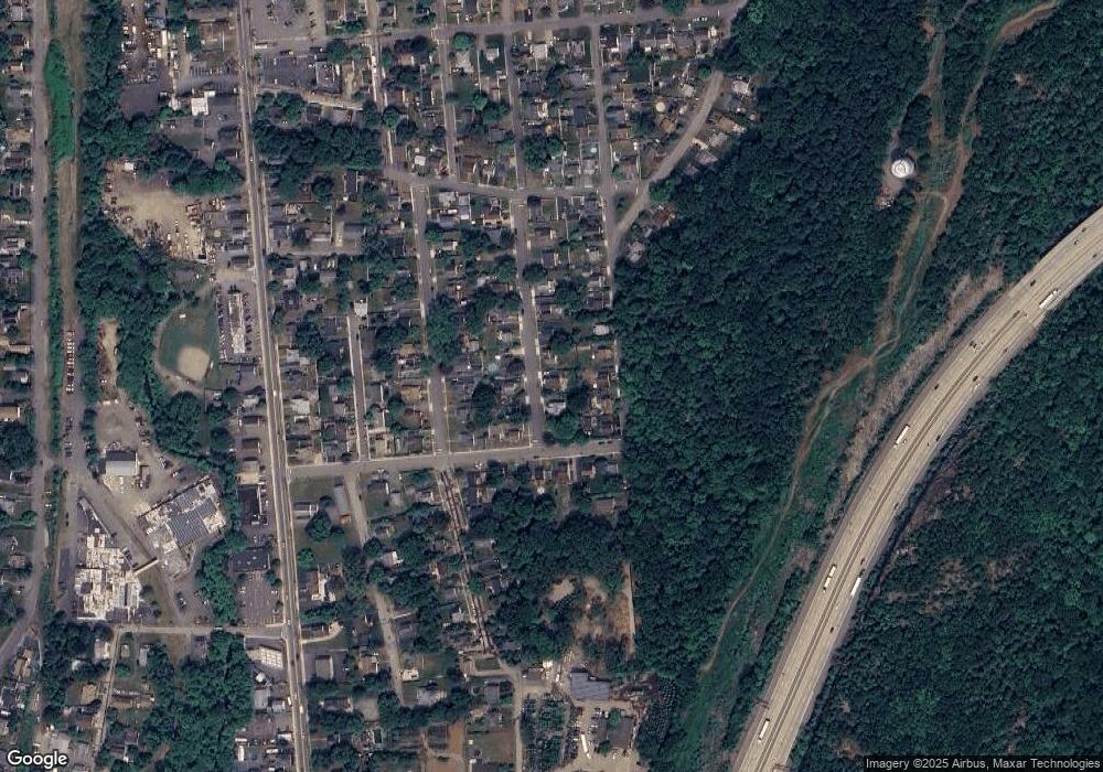
Map
Nearby Homes
- 43 Elston Ct Unit 301
- 28 Elston Ct
- 6 Elston Ct
- 1 Gorge Dr
- 19 Dogwood Ln Unit 19
- 19 Dogwood Ln Unit U9F
- 19 Elm St
- 19 Skyland Ave
- 40 Burnside Place
- 21 Bartholdi Ave
- 35 Smith Ave
- 5 Storms Place
- 25 Bergen Ave
- 90 Burnside Place
- 17 Locust St
- 120 Hershfield St
- 68 Mountainside Dr
- 154 Mountainside Dr
- 30 Federal Hill Rd
- 30 Federal Hill Rd Unit 17
- 129 Monroe St
- 133 Monroe St
- 128 Jefferson St
- 126 Jefferson St
- 130 Jefferson St
- 127 Monroe St
- 135 Monroe St
- 132 Monroe St
- 124 Jefferson St
- 132 Jefferson St
- 130 Monroe St
- 134 Monroe St
- 125 Monroe St
- 136 Monroe St
- 128 Monroe St
- 122 Jefferson St
- 126 Monroe St
- 129 Jackson St
- 123 Monroe St
- 28 Whistler Place