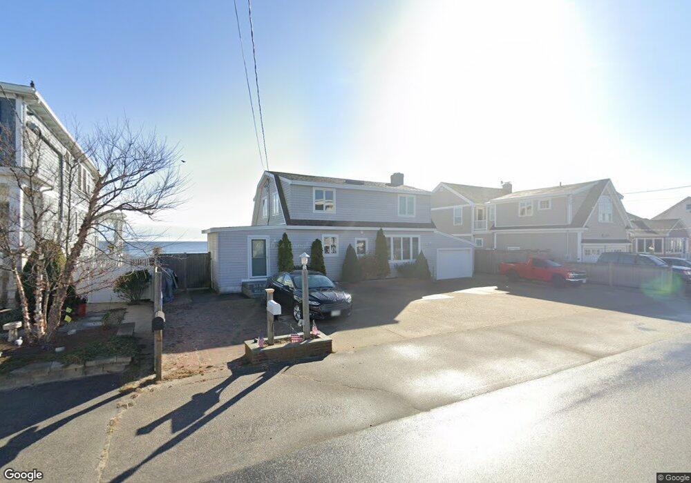
131 Ocean Dr Seabrook, NH 03874
Seabrook Beach NeighborhoodEstimated Value: $1,936,000 - $2,893,000
4
Beds
2
Baths
2,216
Sq Ft
$1,169/Sq Ft
Est. Value
About This Home
This home is located at 131 Ocean Dr, Seabrook, NH 03874 and is currently estimated at $2,590,279, approximately $1,168 per square foot. 131 Ocean Dr is a home with nearby schools including Seabrook Elementary School, Seabrook Middle School, and Winnacunnet High School.
Ownership History
Date
Name
Owned For
Owner Type
Purchase Details
Closed on
Jan 4, 2006
Sold by
Loretta A Moresco
Bought by
Caron Paul A and Caron Cindy J
Current Estimated Value
Home Financials for this Owner
Home Financials are based on the most recent Mortgage that was taken out on this home.
Original Mortgage
$1,000,000
Interest Rate
6.28%
Mortgage Type
Purchase Money Mortgage
Create a Home Valuation Report for This Property
The Home Valuation Report is an in-depth analysis detailing your home's value as well as a comparison with similar homes in the area
Home Values in the Area
Average Home Value in this Area
Purchase History
| Date | Buyer | Sale Price | Title Company |
|---|---|---|---|
| Caron Paul A | $1,000,000 | -- |
Source: Public Records
Mortgage History
| Date | Status | Borrower | Loan Amount |
|---|---|---|---|
| Open | Caron Paul A | $650,000 | |
| Closed | Caron Paul A | $600,000 | |
| Closed | Caron Paul A | $1,000,000 |
Source: Public Records
Tax History
| Year | Tax Paid | Tax Assessment Tax Assessment Total Assessment is a certain percentage of the fair market value that is determined by local assessors to be the total taxable value of land and additions on the property. | Land | Improvement |
|---|---|---|---|---|
| 2024 | $26,725 | $2,280,300 | $2,000,500 | $279,800 |
| 2023 | $27,661 | $1,833,100 | $1,618,700 | $214,400 |
| 2022 | $24,289 | $1,833,100 | $1,618,700 | $214,400 |
| 2021 | $25,168 | $1,833,100 | $1,618,700 | $214,400 |
| 2020 | $6,467 | $1,499,300 | $1,334,700 | $164,600 |
| 2019 | $5,821 | $1,499,300 | $1,334,700 | $164,600 |
| 2018 | $5,768 | $1,408,400 | $1,243,800 | $164,600 |
| 2017 | $5,297 | $1,408,400 | $1,243,800 | $164,600 |
| 2016 | $21,796 | $1,473,700 | $1,311,300 | $162,400 |
| 2015 | $20,551 | $1,389,500 | $1,269,600 | $119,900 |
| 2014 | $21,218 | $1,389,500 | $1,269,600 | $119,900 |
| 2013 | $21,218 | $1,389,500 | $1,269,600 | $119,900 |
Source: Public Records
Map
Nearby Homes
- 108 Ocean Dr Unit 1
- 376 Ocean Blvd
- 9 Tyngsboro St
- 3 Tyngsboro St
- 20 Campton St
- 8 Portsmouth Ave
- 23 River St
- 27 Cross Beach Rd
- 3 Harris Ave
- 169 Ashworth Ave
- 10 Haverhill Ave Unit 1
- 10 Haverhill Ave Unit 2
- 19 Riverview Terrace
- 308 State Route 286 Unit Lot 73
- 308 State Route 286 Unit Lot 108
- 308 State Route 286 Unit Lot 23
- 308 State Route 286 Unit Lot 87
- 3 Perkins Ave Unit 1
- 128 Ashworth Ave Unit 303
- 42 Commonwealth Ave
- 132 Ocean Drive Cor Concord St
- 135 Ocean Dr
- 143 Ocean Dr
- 128 Ocean Dr Unit Downstairs
- 128 Ocean Dr
- 132 Ocean Dr
- 124 Ocean Dr
- 124 Ocean Dr Unit Lower Level
- 124 Ocean Dr Unit Lower
- 124 Ocean Dr Unit South
- 119 Ocean Dr
- 120 Ocean Dr
- 74 Concord St
- 147 Ocean Dr
- 109 Concord St
- 111 Ocean Dr
- 140 Franklin St
- 104 Concord St
- 112 Ocean Dr
Your Personal Tour Guide
Ask me questions while you tour the home.