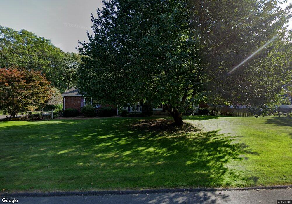
131 Palo Alto Rd Springfield, MA 01128
Sixteen Acres NeighborhoodEstimated Value: $445,000 - $492,000
4
Beds
3
Baths
2,160
Sq Ft
$214/Sq Ft
Est. Value
About This Home
This home is located at 131 Palo Alto Rd, Springfield, MA 01128 and is currently estimated at $462,907, approximately $214 per square foot. 131 Palo Alto Rd is a home located in Hampden County with nearby schools including Daniel B Brunton, M Marcus Kiley Middle, and Springfield High School of Science and Technology.
Ownership History
Date
Name
Owned For
Owner Type
Purchase Details
Closed on
Jun 27, 2008
Sold by
Burnett Patricia A and Burnett Stuart D
Bought by
Dowers Denise M and Dowers Peter J
Current Estimated Value
Home Financials for this Owner
Home Financials are based on the most recent Mortgage that was taken out on this home.
Original Mortgage
$100,000
Outstanding Balance
$64,513
Interest Rate
6.07%
Mortgage Type
Purchase Money Mortgage
Estimated Equity
$398,394
Create a Home Valuation Report for This Property
The Home Valuation Report is an in-depth analysis detailing your home's value as well as a comparison with similar homes in the area
Home Values in the Area
Average Home Value in this Area
Purchase History
| Date | Buyer | Sale Price | Title Company |
|---|---|---|---|
| Dowers Denise M | $260,000 | -- |
Source: Public Records
Mortgage History
| Date | Status | Borrower | Loan Amount |
|---|---|---|---|
| Open | Dowers Denise M | $100,000 |
Source: Public Records
Tax History Compared to Growth
Tax History
| Year | Tax Paid | Tax Assessment Tax Assessment Total Assessment is a certain percentage of the fair market value that is determined by local assessors to be the total taxable value of land and additions on the property. | Land | Improvement |
|---|---|---|---|---|
| 2025 | $6,054 | $386,100 | $64,600 | $321,500 |
| 2024 | $6,247 | $389,000 | $64,600 | $324,400 |
| 2023 | $6,233 | $365,600 | $61,500 | $304,100 |
| 2022 | $5,684 | $302,000 | $64,600 | $237,400 |
| 2021 | $5,371 | $284,200 | $58,800 | $225,400 |
| 2020 | $5,334 | $273,100 | $58,800 | $214,300 |
| 2019 | $5,282 | $268,400 | $58,800 | $209,600 |
| 2018 | $5,194 | $263,900 | $58,800 | $205,100 |
| 2017 | $5,094 | $259,100 | $58,800 | $200,300 |
| 2016 | $5,047 | $256,700 | $58,800 | $197,900 |
| 2015 | $4,613 | $234,500 | $58,800 | $175,700 |
Source: Public Records
Map
Nearby Homes
- 124 Sierra Vista Rd
- 71 Hilltop St
- 17 Skyridge Ln
- 81 Oak Hollow Rd
- 217 Hanson Dr
- 65 Fair Oak Rd
- 22 Woodland Rd
- 19 Ruthven St
- 263 Cooley St
- 152 Druid Hill Rd
- 383 Porter Rd
- 460 Soule Rd
- 31 Acrebrook Rd
- 0 Apple Blossom Ln
- 50 Fox Woods Dr
- 152 Brookhaven Dr
- 17 Jeanne Marie St
- 390 Soule Rd
- 41 Brookside Dr
- 37 Brookside Dr
- 117 Palo Alto Rd
- 126 Corey Rd
- 132 Palo Alto Rd
- 116 Corey Rd
- 120 Palo Alto Rd
- 107 Palo Alto Rd
- 311 Grand Valley Rd
- 108 Corey Rd
- 110 Palo Alto Rd
- 321 Grand Valley Rd
- 137 Sierra Vista Rd
- 129 Sierra Vista Rd
- 145 Sierra Vista Rd
- 95 Palo Alto Rd
- 331 Grand Valley Rd
- 123 Sierra Vista Rd
- 98 Corey Rd
- 123 Corey Rd
- 98 Palo Alto Rd
- 115 Sierra Vista Rd