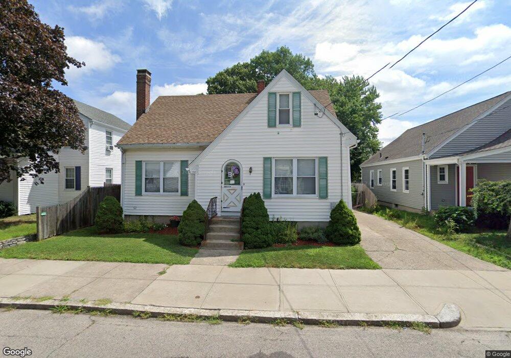
131 Perrin Ave Pawtucket, RI 02861
Darlington NeighborhoodEstimated Value: $407,000 - $446,000
3
Beds
2
Baths
1,565
Sq Ft
$270/Sq Ft
Est. Value
About This Home
This home is located at 131 Perrin Ave, Pawtucket, RI 02861 and is currently estimated at $422,298, approximately $269 per square foot. 131 Perrin Ave is a home located in Providence County with nearby schools including St Cecilia School and Saint Teresa Catholic Elementary School.
Ownership History
Date
Name
Owned For
Owner Type
Purchase Details
Closed on
Oct 1, 1998
Sold by
Loparto Leo and Loparto Constance
Bought by
Bourski Michael A and Bourski Jeannine
Current Estimated Value
Create a Home Valuation Report for This Property
The Home Valuation Report is an in-depth analysis detailing your home's value as well as a comparison with similar homes in the area
Home Values in the Area
Average Home Value in this Area
Purchase History
| Date | Buyer | Sale Price | Title Company |
|---|---|---|---|
| Bourski Michael A | $93,000 | -- |
Source: Public Records
Mortgage History
| Date | Status | Borrower | Loan Amount |
|---|---|---|---|
| Open | Bourski Michael A | $182,574 | |
| Closed | Bourski Michael A | $200,000 | |
| Closed | Bourski Michael A | $161,250 |
Source: Public Records
Tax History
| Year | Tax Paid | Tax Assessment Tax Assessment Total Assessment is a certain percentage of the fair market value that is determined by local assessors to be the total taxable value of land and additions on the property. | Land | Improvement |
|---|---|---|---|---|
| 2025 | $4,030 | $306,500 | $145,900 | $160,600 |
| 2024 | $3,782 | $306,500 | $145,900 | $160,600 |
| 2023 | $3,618 | $213,600 | $77,000 | $136,600 |
| 2022 | $3,541 | $213,600 | $77,000 | $136,600 |
| 2021 | $3,541 | $213,600 | $77,000 | $136,600 |
| 2020 | $3,455 | $165,400 | $64,200 | $101,200 |
| 2019 | $3,455 | $165,400 | $64,200 | $101,200 |
| 2018 | $3,330 | $165,400 | $64,200 | $101,200 |
| 2017 | $2,976 | $131,000 | $49,900 | $81,100 |
| 2016 | $2,868 | $131,000 | $49,900 | $81,100 |
| 2015 | $2,868 | $131,000 | $49,900 | $81,100 |
| 2014 | $3,155 | $136,800 | $49,900 | $86,900 |
Source: Public Records
Map
Nearby Homes
- 125 Perrin Ave
- 189 Hunts Ave
- 184 Saratoga Ave
- 119 Perrin Ave
- 190 Saratoga Ave
- 193 Hunts Ave
- 195 Hunts Ave
- 194 Saratoga Ave
- 134 Perrin Ave
- 173 Hunts Ave
- 186 Hunts Ave
- 190 Hunts Ave
- 180 Hunts Ave
- 120 Perrin Ave
- 201 Hunts Ave
- 202 Saratoga Ave
- 173 Saratoga Ave
- 181 Saratoga Ave
- 181 Saratoga Ave Unit 2
- 196 Hunts Ave
Your Personal Tour Guide
Ask me questions while you tour the home.