Estimated Value: $220,000 - $233,000
3
Beds
2
Baths
1,514
Sq Ft
$150/Sq Ft
Est. Value
About This Home
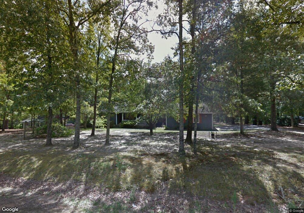
This home is located at 131 Red Oak Rd, Byron, GA 31008 and is currently estimated at $226,794, approximately $149 per square foot. 131 Red Oak Rd is a home located in Peach County with nearby schools including Byron Elementary School, Byron Middle School, and Peach County High School.
Ownership History
Date
Name
Owned For
Owner Type
Purchase Details
Closed on
Oct 13, 2020
Sold by
Mayhue Matthew C
Bought by
Wilcox William and Wilcox Karen Lee
Current Estimated Value
Home Financials for this Owner
Home Financials are based on the most recent Mortgage that was taken out on this home.
Original Mortgage
$114,400
Outstanding Balance
$79,714
Interest Rate
2.8%
Mortgage Type
New Conventional
Estimated Equity
$147,080
Purchase Details
Closed on
Jun 28, 2011
Sold by
Dawkins Cleveland B & Miriam W
Bought by
Mayhue Matthew C & Meade Delta
Purchase Details
Closed on
May 10, 2011
Sold by
Dawkins Michael
Bought by
Dawkins Cleveland B and Dawkins Miriam W
Purchase Details
Closed on
Mar 28, 2011
Sold by
Dawkins Cleveland B
Bought by
Dawkins Michael
Create a Home Valuation Report for This Property
The Home Valuation Report is an in-depth analysis detailing your home's value as well as a comparison with similar homes in the area
Home Values in the Area
Average Home Value in this Area
Purchase History
| Date | Buyer | Sale Price | Title Company |
|---|---|---|---|
| Wilcox William | $143,000 | -- | |
| Mayhue Matthew C & Meade Delta | $109,500 | -- | |
| Dawkins Cleveland B | -- | -- | |
| Dawkins Michael | -- | -- |
Source: Public Records
Mortgage History
| Date | Status | Borrower | Loan Amount |
|---|---|---|---|
| Open | Wilcox William | $114,400 |
Source: Public Records
Tax History Compared to Growth
Tax History
| Year | Tax Paid | Tax Assessment Tax Assessment Total Assessment is a certain percentage of the fair market value that is determined by local assessors to be the total taxable value of land and additions on the property. | Land | Improvement |
|---|---|---|---|---|
| 2024 | $1,814 | $60,320 | $13,400 | $46,920 |
| 2023 | $1,691 | $55,240 | $7,280 | $47,960 |
| 2022 | $1,532 | $49,320 | $7,280 | $42,040 |
| 2021 | $1,579 | $44,040 | $7,280 | $36,760 |
| 2020 | $1,572 | $43,800 | $7,280 | $36,520 |
| 2019 | $1,578 | $43,800 | $7,280 | $36,520 |
| 2018 | $1,585 | $43,800 | $7,280 | $36,520 |
| 2017 | $1,592 | $43,800 | $7,280 | $36,520 |
| 2016 | $1,586 | $43,800 | $7,280 | $36,520 |
| 2015 | $1,588 | $43,800 | $7,280 | $36,520 |
| 2014 | $1,590 | $43,800 | $7,280 | $36,520 |
| 2013 | -- | $43,800 | $7,280 | $36,520 |
Source: Public Records
Map
Nearby Homes
- 248 Shantz Way
- 248 Shantz Way Unit (LOT A41)
- 1046 Walker Rd
- 0 Peavy Rd
- 305 Shantz Way
- The McGinnis Plan at Bryson Farms
- The Lawson Plan at Bryson Farms
- The Coleman Plan at Bryson Farms
- The Piedmont Plan at Bryson Farms
- The Harrington Plan at Bryson Farms
- 305 Shantz Way Unit (LOT C11)
- The Benson II Plan at Bryson Farms
- The Bradley Plan at Bryson Farms
- 476 Walker Rd
- 206 Christopher Dr
- 135 Abelia Ln
- 106 Christopher Dr
- 127 Erin Ct
- 112 Abelia Ln
- 206 Cumberland Dr
- 135 Red Oak Rd
- 127 Red Oak Rd
- 136 Red Oak Rd
- 132 Red Oak Rd
- 139 Red Oak Rd
- 125 Red Oak Rd
- 128 Red Oak Rd
- 138 Red Oak Rd
- 143 Red Oak Rd
- 171 Old Hickory Rd
- 119 Red Oak Rd
- 124 Red Oak Rd
- 144 Red Oak Rd
- 111 Dogwood Ct
- 147 Red Oak Rd
- 172 Old Hickory Rd
- 118 Red Oak Rd
- 115 Red Oak Rd
- 169 Old Hickory Rd
- 108 Dogwood Ct