131 S Lands End Rd Eclectic, AL 36024
Estimated Value: $938,000
3
Beds
2
Baths
1,500
Sq Ft
$625/Sq Ft
Est. Value
About This Home
This home is located at 131 S Lands End Rd, Eclectic, AL 36024 and is currently estimated at $938,000, approximately $625 per square foot. 131 S Lands End Rd is a home located in Elmore County with nearby schools including Eclectic Elementary School, Eclectic Middle School, and Elmore County High School.
Ownership History
Date
Name
Owned For
Owner Type
Purchase Details
Closed on
Aug 3, 2020
Sold by
Strickland David F and Strickland Toni T
Bought by
Lands End Resort Llc
Current Estimated Value
Purchase Details
Closed on
Jun 16, 2020
Sold by
Cb & S Bank Inc
Bought by
Strickland David F and Strickland Toni T
Purchase Details
Closed on
Aug 30, 2019
Sold by
Strickland Joan Brown and Strickland John Wilfred
Bought by
Cbs Bank
Purchase Details
Closed on
Nov 29, 2012
Sold by
Primesouth Bank
Bought by
Brown-Strickland Joan
Create a Home Valuation Report for This Property
The Home Valuation Report is an in-depth analysis detailing your home's value as well as a comparison with similar homes in the area
Home Values in the Area
Average Home Value in this Area
Purchase History
| Date | Buyer | Sale Price | Title Company |
|---|---|---|---|
| Lands End Resort Llc | -- | None Available | |
| Strickland David F | $331,795 | None Available | |
| Cbs Bank | $432,455 | None Available | |
| Brown-Strickland Joan | -- | -- |
Source: Public Records
Tax History Compared to Growth
Tax History
| Year | Tax Paid | Tax Assessment Tax Assessment Total Assessment is a certain percentage of the fair market value that is determined by local assessors to be the total taxable value of land and additions on the property. | Land | Improvement |
|---|---|---|---|---|
| 2024 | $3,985 | $147,100 | $0 | $0 |
| 2023 | $3,728 | $735,540 | $421,410 | $314,130 |
| 2022 | $3,054 | $122,178 | $81,828 | $40,350 |
| 2021 | $2,933 | $117,338 | $81,828 | $35,510 |
| 2020 | $2,825 | $112,998 | $81,828 | $31,170 |
| 2019 | $1,347 | $111,770 | $85,920 | $25,850 |
| 2018 | $1,385 | $106,646 | $81,828 | $24,818 |
| 2017 | $1,296 | $51,840 | $40,927 | $10,913 |
| 2016 | $1,345 | $103,418 | $81,828 | $21,590 |
| 2014 | $2,468 | $483,230 | $374,670 | $108,560 |
Source: Public Records
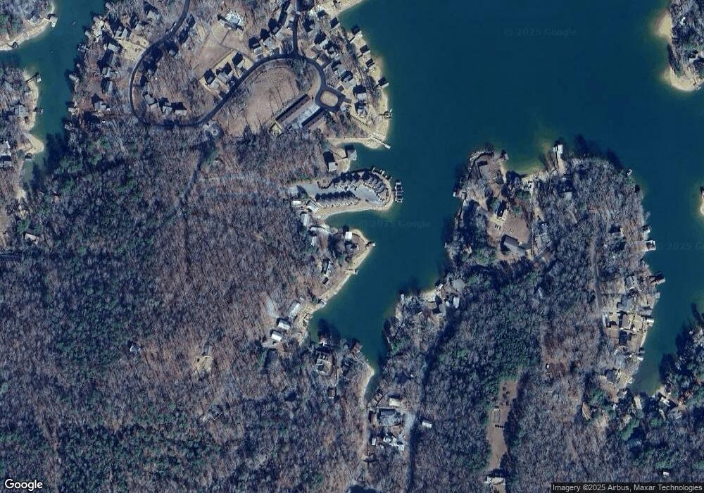
Map
Nearby Homes
- 59 4th Retreat
- 852 Mccain Rd
- 198 Mccain Rd
- 421 Mccain Rd
- 138 Cove Dr
- Cagles Cove Rd
- 299 Andrews Mill Rd
- 195 Honeysuckle Hill
- 451 Hagan Rd
- 54 Pine Dr
- 1614 Castaway Island Rd
- lot 51 Martin Ridge Trace
- 90 Poplar Dr
- 522 Ridgeway Dr
- 84 Whisper Trace
- 305 Whisper Trace
- 319 Whisper Trace
- 280 Whisper Trace
- 10 Whisper
- 108 Williamson Trace
- 137 S Lands End Rd
- 146 Paradise Point
- 148 Paradise Point
- 150 Paradise Point
- 144 Paradise Point
- 140 Paradise Point
- 142 Paradise Point
- 125 S Lands End Rd
- 171 Paradise Point
- 147 Paradise Point
- 149 Paradise Point
- 145 Paradise Point
- 151 Paradise Point
- 169 Paradise Point
- 167 Paradise Point
- 165 Paradise Point
- 163 Paradise Point
- 163 Paradise Point
- 163 Paradise Pointe
- 181 S Lands End Rd