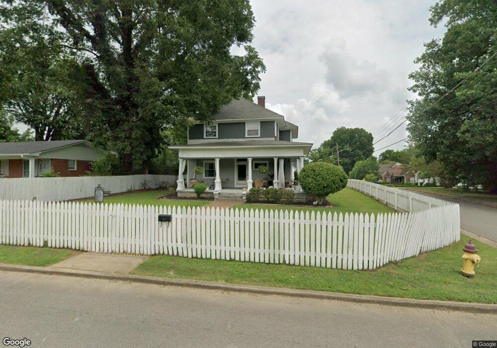
131 S Sam Davis Ave Pulaski, TN 38478
Estimated Value: $264,010 - $402,000
Studio
1
Bath
2,625
Sq Ft
$126/Sq Ft
Est. Value
About This Home
This home is located at 131 S Sam Davis Ave, Pulaski, TN 38478 and is currently estimated at $331,253, approximately $126 per square foot. 131 S Sam Davis Ave is a home located in Giles County with nearby schools including Pulaski Elementary School, Southside Elementary School, and Bridgeforth Middle School.
Ownership History
Date
Name
Owned For
Owner Type
Purchase Details
Closed on
Sep 19, 2008
Sold by
Wells Scott M
Bought by
Campbell Margaret R
Current Estimated Value
Purchase Details
Closed on
May 1, 2006
Sold by
Wells Winston R Rod
Bought by
Wells Scott M
Home Financials for this Owner
Home Financials are based on the most recent Mortgage that was taken out on this home.
Original Mortgage
$136,086
Interest Rate
6.33%
Purchase Details
Closed on
Jan 20, 2005
Sold by
Higgins Charles R
Bought by
Wells Winston R Rod Living Tru
Home Financials for this Owner
Home Financials are based on the most recent Mortgage that was taken out on this home.
Original Mortgage
$138,000
Interest Rate
5.66%
Purchase Details
Closed on
Jul 11, 1987
Bought by
Higgins Charles R and Higgins Bettie
Create a Home Valuation Report for This Property
The Home Valuation Report is an in-depth analysis detailing your home's value as well as a comparison with similar homes in the area
Home Values in the Area
Average Home Value in this Area
Purchase History
| Date | Buyer | Sale Price | Title Company |
|---|---|---|---|
| Campbell Margaret R | $150,000 | -- | |
| Wells Scott M | $136,086 | -- | |
| Wells Winston R Rod Living Tru | $150,000 | -- | |
| Higgins Charles R | -- | -- |
Source: Public Records
Mortgage History
| Date | Status | Borrower | Loan Amount |
|---|---|---|---|
| Previous Owner | Higgins Charles R | $136,086 | |
| Previous Owner | Higgins Charles R | $138,000 |
Source: Public Records
Tax History
| Year | Tax Paid | Tax Assessment Tax Assessment Total Assessment is a certain percentage of the fair market value that is determined by local assessors to be the total taxable value of land and additions on the property. | Land | Improvement |
|---|---|---|---|---|
| 2025 | $1,732 | $63,500 | $4,350 | $59,150 |
| 2024 | $1,732 | $63,500 | $4,350 | $59,150 |
| 2023 | $1,529 | $63,500 | $4,350 | $59,150 |
| 2022 | $1,529 | $63,500 | $4,350 | $59,150 |
| 2021 | $1,099 | $32,450 | $1,750 | $30,700 |
| 2020 | $1,099 | $32,450 | $1,750 | $30,700 |
| 2019 | $917 | $32,450 | $1,750 | $30,700 |
| 2018 | $1,099 | $32,450 | $1,750 | $30,700 |
| 2017 | $1,099 | $32,450 | $1,750 | $30,700 |
| 2016 | $1,081 | $30,525 | $1,750 | $28,775 |
| 2015 | $1,236 | $37,000 | $1,750 | $35,250 |
| 2014 | $1,236 | $36,996 | $0 | $0 |
Source: Public Records
Map
Nearby Homes
- 523 Highland Ave
- 527 E Madison St
- 311 S 1st St
- 544 E Madison St
- 418 Jones St
- 207 N Cedar Ln
- 424 Jones St
- 621 E College St
- 632 E Madison St
- 122 Fiddlers Ct
- 602 S 1st St
- 318 W Jefferson St
- 321 W Washington St
- 635 Cleveland St Unit 637
- 124 Chestnut St
- 118 N Ingram St
- 320 Park St
- 513 S 4th St
- 551 Magazine Rd
- 415 S Ingram St
- 123 S Sam Davis Ave Unit 6
- 123 S Sam Davis Ave Unit 4
- 123 S Sam Davis Ave Unit 5
- 123 S Sam Davis Ave Unit 10
- 123 S Sam Davis Ave Unit 1
- 414 Highland Ave
- 123 N Sam Davis Ave
- 205 S Sam Davis Ave
- 415 Highland Ave
- 420 Highland Ave
- 200 S Sam Davis Ave
- 122 S Sam Davis Ave
- 206 S Sam Davis Ave
- 402 Morningside Dr
- 406 Morningside Dr
- 114 S Sam Davis Ave
- 111 S Sam Davis Ave
- 423 Highland Ave
- 412 Morningside Dr
- 413 E Madison St
Your Personal Tour Guide
Ask me questions while you tour the home.