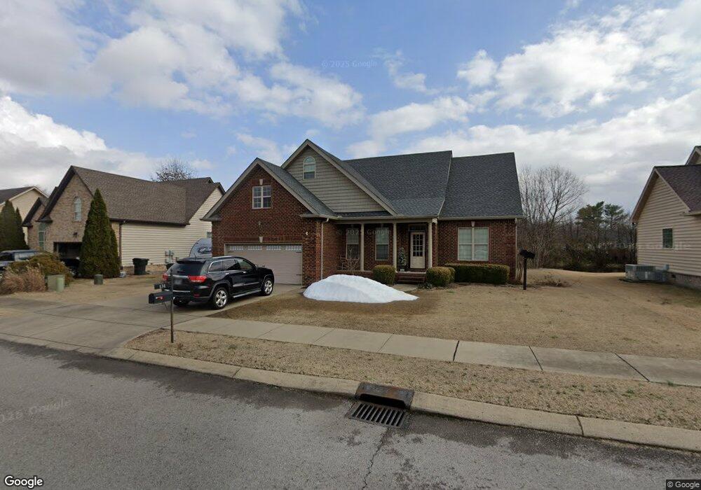
131 Star Ct Gallatin, TN 37066
Estimated Value: $375,602 - $442,000
--
Bed
3
Baths
1,548
Sq Ft
$258/Sq Ft
Est. Value
About This Home
This home is located at 131 Star Ct, Gallatin, TN 37066 and is currently estimated at $398,651, approximately $257 per square foot. 131 Star Ct is a home located in Sumner County with nearby schools including Howard Elementary School, Rucker Stewart Middle School, and Gallatin Senior High School.
Ownership History
Date
Name
Owned For
Owner Type
Purchase Details
Closed on
Apr 23, 2010
Sold by
Brooks Steve and Brooks Nancy
Bought by
Zendano Warren
Current Estimated Value
Home Financials for this Owner
Home Financials are based on the most recent Mortgage that was taken out on this home.
Original Mortgage
$175,264
Outstanding Balance
$118,168
Interest Rate
5.25%
Mortgage Type
FHA
Estimated Equity
$280,483
Purchase Details
Closed on
Nov 17, 2009
Sold by
Yates Fred and Yates Ruth
Bought by
Brooks Steve and Brooks Nancy
Create a Home Valuation Report for This Property
The Home Valuation Report is an in-depth analysis detailing your home's value as well as a comparison with similar homes in the area
Home Values in the Area
Average Home Value in this Area
Purchase History
| Date | Buyer | Sale Price | Title Company |
|---|---|---|---|
| Zendano Warren | $178,500 | Stewart Title Company | |
| Brooks Steve | -- | Stewart Title Tennessee Inc |
Source: Public Records
Mortgage History
| Date | Status | Borrower | Loan Amount |
|---|---|---|---|
| Open | Zendano Warren | $175,264 |
Source: Public Records
Tax History Compared to Growth
Tax History
| Year | Tax Paid | Tax Assessment Tax Assessment Total Assessment is a certain percentage of the fair market value that is determined by local assessors to be the total taxable value of land and additions on the property. | Land | Improvement |
|---|---|---|---|---|
| 2024 | $1,333 | $93,775 | $17,500 | $76,275 |
| 2023 | $1,983 | $64,975 | $15,025 | $49,950 |
| 2022 | $1,990 | $64,975 | $15,025 | $49,950 |
| 2021 | $1,990 | $64,975 | $15,025 | $49,950 |
| 2020 | $1,990 | $64,975 | $15,025 | $49,950 |
| 2019 | $1,990 | $0 | $0 | $0 |
| 2018 | $1,541 | $0 | $0 | $0 |
| 2017 | $1,541 | $0 | $0 | $0 |
| 2016 | $1,104 | $0 | $0 | $0 |
| 2015 | $1,541 | $0 | $0 | $0 |
| 2014 | $1,379 | $0 | $0 | $0 |
Source: Public Records
Map
Nearby Homes
- 233 Summerlin Dr
- 348 Winston Way
- 172 Summerlin Dr
- 312 Blade St
- 180 Summerlin Dr
- The Caldwell Plan at Winston Place
- The Harrington Plan at Winston Place
- The Benson II Plan at Winston Place
- The Manchester II Plan at Winston Place
- The McGinnis Plan at Winston Place
- The Langford Plan at Winston Place
- The Piedmont Plan at Winston Place
- The Braselton II Plan at Winston Place
- 505 Coffee Ct
- 192 Summerlin Dr
- 189 Summerlin Dr
- 193 Summerlin Dr
- 205 Summerlin Dr
- 355 Marrell St
- 248 Walnut Crest Dr
- 127 Star Ct
- 135 Star Ct
- 135 Star Ct Unit 272
- 135 Star Ct Unit 270
- 124 Summerlin Dr
- 425 Paisley Way
- 139 Star Ct
- 123 Star Ct
- 120 Summerlin Dr
- 244 Summerlin Dr Unit 28
- 237 Summerlin Dr Unit 61
- 244 Summerlin Dr Unit 29
- 128 Summerlin Dr
- 116 Summerlin Dr
- 426 Bernhart Dr
- 426 Paisley Way
- 132 Summerlin Dr
- 429 Paisley Way
- 119 Star Ct
- 112 Summerlin Dr