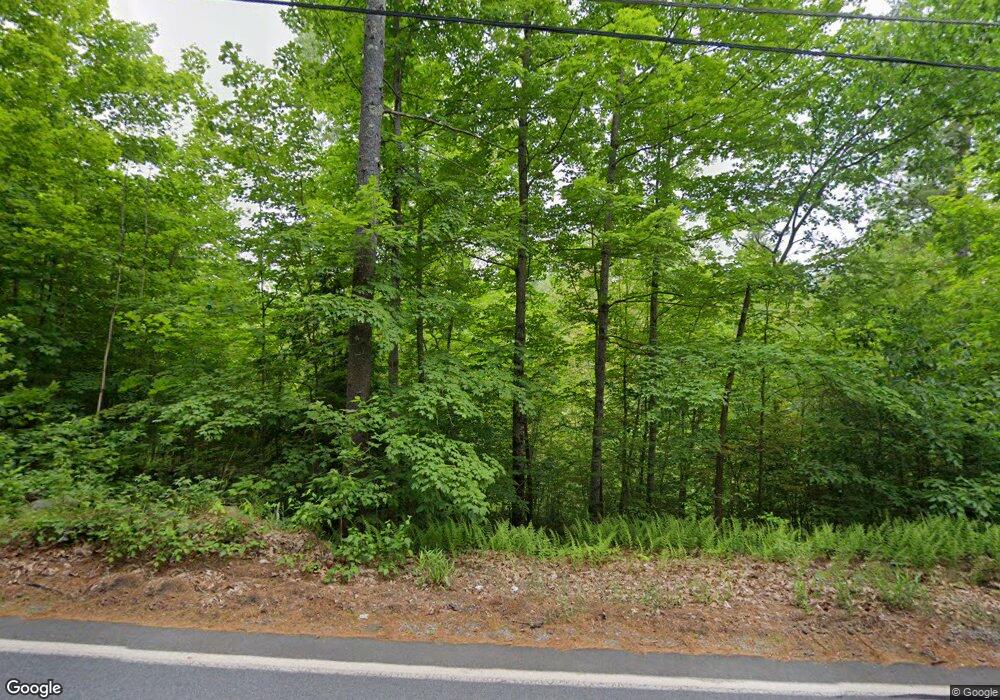
131 W Parish Rd Concord, NH 03303
West Concord NeighborhoodEstimated Value: $455,000 - $1,842,838
5
Beds
3
Baths
2,512
Sq Ft
$457/Sq Ft
Est. Value
About This Home
This home is located at 131 W Parish Rd, Concord, NH 03303 and is currently estimated at $1,148,919, approximately $457 per square foot. 131 W Parish Rd is a home located in Merrimack County with nearby schools including Beaver Meadow School, Rundlett Middle School, and Concord High School.
Ownership History
Date
Name
Owned For
Owner Type
Purchase Details
Closed on
Jan 22, 2025
Sold by
Bates Anna and Ellison-Gladstone Jeremy
Bought by
Parish Hill Prop Llc
Current Estimated Value
Purchase Details
Closed on
Jun 21, 2017
Sold by
Cheney Kevin and Mullins Angella M
Bought by
Cheney Kevin M
Purchase Details
Closed on
Sep 26, 2016
Sold by
Mullins Angella M
Bought by
Mullins Angella M and Cheney Kevin
Purchase Details
Closed on
Feb 5, 2016
Sold by
Dutton Orin F and Ristanio-Dutton Pat
Bought by
Mullins Angella M
Home Financials for this Owner
Home Financials are based on the most recent Mortgage that was taken out on this home.
Original Mortgage
$360,000
Interest Rate
3%
Mortgage Type
Adjustable Rate Mortgage/ARM
Create a Home Valuation Report for This Property
The Home Valuation Report is an in-depth analysis detailing your home's value as well as a comparison with similar homes in the area
Home Values in the Area
Average Home Value in this Area
Purchase History
| Date | Buyer | Sale Price | Title Company |
|---|---|---|---|
| Parish Hill Prop Llc | $160,000 | None Available | |
| Cheney Kevin M | -- | -- | |
| Cheney Kevin M | -- | -- | |
| Cheney Kevin M | -- | -- | |
| Mullins Angella M | -- | -- | |
| Mullins Angella M | -- | -- | |
| Mullins Angella M | -- | -- | |
| Mullins Angella M | $450,000 | -- | |
| Mullins Angella M | $450,000 | -- | |
| Mullins Angella M | $450,000 | -- |
Source: Public Records
Mortgage History
| Date | Status | Borrower | Loan Amount |
|---|---|---|---|
| Previous Owner | Mullins Angella M | $360,000 |
Source: Public Records
Tax History Compared to Growth
Tax History
| Year | Tax Paid | Tax Assessment Tax Assessment Total Assessment is a certain percentage of the fair market value that is determined by local assessors to be the total taxable value of land and additions on the property. | Land | Improvement |
|---|---|---|---|---|
| 2024 | $46,073 | $1,663,900 | $591,300 | $1,072,600 |
| 2023 | $41,906 | $1,560,150 | $591,950 | $968,200 |
| 2022 | $32,681 | $1,262,300 | $593,000 | $669,300 |
| 2021 | $19,818 | $788,950 | $288,250 | $500,700 |
| 2020 | $18,982 | $709,350 | $222,250 | $487,100 |
| 2019 | $18,361 | $660,950 | $207,050 | $453,900 |
| 2018 | $12,480 | $442,700 | $187,000 | $255,700 |
| 2017 | $11,748 | $416,000 | $187,700 | $228,300 |
| 2016 | $11,169 | $403,650 | $187,250 | $216,400 |
| 2015 | $8,922 | $342,450 | $131,450 | $211,000 |
| 2014 | $9,181 | $342,450 | $131,450 | $211,000 |
| 2013 | -- | $339,550 | $131,450 | $208,100 |
| 2012 | -- | $348,700 | $122,400 | $226,300 |
Source: Public Records
Map
Nearby Homes
- 153 W Parish Rd
- 148 Broad Cove Dr
- 90 W Parish Rd
- 160 Carter Hill Rd
- 186 Carter Hill Rd
- 81 River Rd
- 50 Weir Rd
- 67 Pamela Dr
- 48 Stacey Dr
- 1 Appaloosa Run
- 95 Blackwater Rd
- 155 Pamela Dr
- 0 George Rd Unit 30
- 3 Cabernet Dr Unit 3
- 3 Merlot Ct Unit 4
- 3 Cheryl Dr
- 52 Hutchins St
- 25 Cheryl Dr
- 4 Leanne Dr
- 14 Monarch Dr
- 136 W Parish Rd
- 812 Route 103a
- 138 W Parish Rd
- 142 W Parish Rd
- 127 W Parish Rd
- 126 W Parish Rd
- 14 Lori Ln
- 143 W Parish Rd
- 123 W Parish Rd
- 145 W Parish Rd
- 146 W Parish Rd
- 148 W Parish Rd
- 150 W Parish Rd
- 147 W Parish Rd
- 119 W Parish Rd
- 152 W Parish Rd
- 149 W Parish Rd
- 70 W Parish Rd
- 120 W Parish Rd
- 117 W Parish Rd
