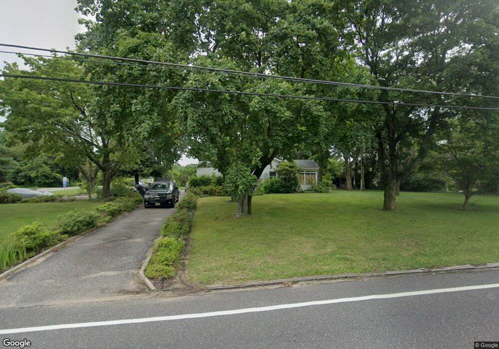
131 W Wolfert Station Rd Mickleton, NJ 08056
East Greenwich Township NeighborhoodEstimated Value: $288,701 - $575,000
--
Bed
--
Bath
1,464
Sq Ft
$311/Sq Ft
Est. Value
About This Home
This home is located at 131 W Wolfert Station Rd, Mickleton, NJ 08056 and is currently estimated at $454,925, approximately $310 per square foot. 131 W Wolfert Station Rd is a home located in Gloucester County with nearby schools including Jeffrey Clark School, Samuel Mickle School, and Kingsway Regional Middle School.
Ownership History
Date
Name
Owned For
Owner Type
Purchase Details
Closed on
Aug 23, 2007
Sold by
Lindsey Sarah
Bought by
Lindsey Albert L
Current Estimated Value
Create a Home Valuation Report for This Property
The Home Valuation Report is an in-depth analysis detailing your home's value as well as a comparison with similar homes in the area
Home Values in the Area
Average Home Value in this Area
Purchase History
| Date | Buyer | Sale Price | Title Company |
|---|---|---|---|
| Lindsey Albert L | -- | None Available |
Source: Public Records
Tax History Compared to Growth
Tax History
| Year | Tax Paid | Tax Assessment Tax Assessment Total Assessment is a certain percentage of the fair market value that is determined by local assessors to be the total taxable value of land and additions on the property. | Land | Improvement |
|---|---|---|---|---|
| 2025 | $6,155 | $193,600 | $82,400 | $111,200 |
| 2024 | $5,959 | $193,600 | $82,400 | $111,200 |
| 2023 | $5,959 | $193,600 | $82,400 | $111,200 |
| 2022 | $5,791 | $193,600 | $82,400 | $111,200 |
| 2021 | $5,546 | $193,600 | $82,400 | $111,200 |
| 2020 | $5,856 | $193,600 | $82,400 | $111,200 |
| 2019 | $5,796 | $193,600 | $82,400 | $111,200 |
| 2018 | $6,073 | $184,200 | $69,800 | $114,400 |
| 2017 | $5,994 | $184,200 | $69,800 | $114,400 |
| 2016 | $5,674 | $184,200 | $69,800 | $114,400 |
| 2015 | $5,427 | $184,200 | $69,800 | $114,400 |
| 2014 | $5,077 | $184,200 | $69,800 | $114,400 |
Source: Public Records
Map
Nearby Homes
- 71 W Tomlin Station Rd
- 78 W Tomlin Station Rd
- 123 W Tomlin Station Rd
- 50 Mill Rd
- 0 Rd Unit NJGL2061600
- 159 Mill Rd
- 560 Partridge Ct
- 67 E Rattling Run Rd
- 792 Paulsboro Rd
- 788 Paulsboro Rd
- 9 Still Run Rd
- 347 Paulsboro Rd
- 558 Hereford Ln
- 552 Hereford Ln
- 43 45 Repaupo Station Rd
- 410 Country Way
- 0 Swedesboro Ave Unit NJGL2061592
- 0 S Democrat Rd Unit NJGL2065008
- 163 Erica Ct
- 155 Erica Ct
- 100 W Tomlin Station Rd
- 90 W Tomlin Station Rd
- 138 W Wolfert Station Rd
- 106 W Tomlin Station Rd
- 86 W Tomlin Station Rd
- 140 W Wolfert Station Rd
- 105 W Tomlin Station Rd
- 123 W Wolfert Station Rd
- 141 W Wolfert Station Rd
- 121 W Wolfert Station Rd
- 142 W Wolfert Station Rd
- 84 W Tomlin Station Rd
- 110 W Tomlin Station Rd
- 128 W Wolfert Station Rd
- 143 W Wolfert Station Rd
- 109 W Tomlin Station Rd
- 144 W Wolfert Station Rd
- 144 W Wolfert Station Rd
- 82 W Tomlin Station Rd
- 148 W Wolfert Station Rd