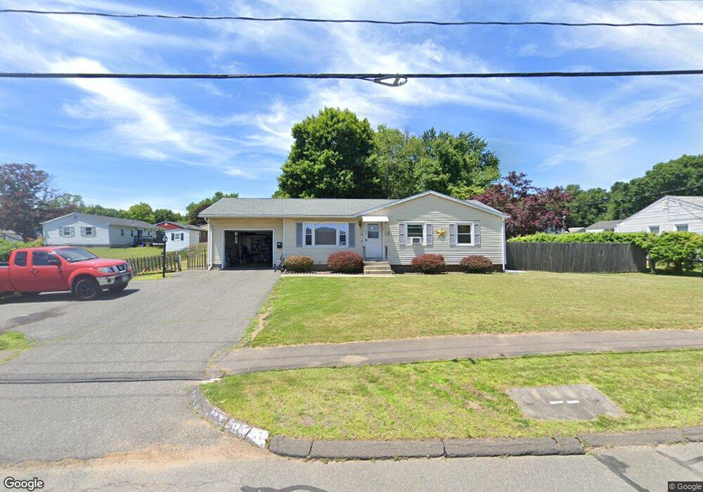
131 Whiting Farms Rd Holyoke, MA 01040
Estimated Value: $270,000 - $315,164
3
Beds
1
Bath
1,320
Sq Ft
$222/Sq Ft
Est. Value
About This Home
This home is located at 131 Whiting Farms Rd, Holyoke, MA 01040 and is currently estimated at $293,041, approximately $222 per square foot. 131 Whiting Farms Rd is a home located in Hampden County with nearby schools including Maurice A. Donahue Elementary School, Holyoke High School, and Holyoke Community Charter School.
Ownership History
Date
Name
Owned For
Owner Type
Purchase Details
Closed on
Jan 29, 1999
Sold by
Westerling Stephen C and Westerling Bonnie M
Bought by
Rodriguez Jorge L
Current Estimated Value
Home Financials for this Owner
Home Financials are based on the most recent Mortgage that was taken out on this home.
Original Mortgage
$86,955
Interest Rate
6.67%
Mortgage Type
Purchase Money Mortgage
Purchase Details
Closed on
Mar 31, 1994
Sold by
Arkenau Elizabeth
Bought by
Westerling Stephen C and Westerling Bonnie M
Home Financials for this Owner
Home Financials are based on the most recent Mortgage that was taken out on this home.
Original Mortgage
$91,698
Interest Rate
7.07%
Mortgage Type
Purchase Money Mortgage
Create a Home Valuation Report for This Property
The Home Valuation Report is an in-depth analysis detailing your home's value as well as a comparison with similar homes in the area
Home Values in the Area
Average Home Value in this Area
Purchase History
| Date | Buyer | Sale Price | Title Company |
|---|---|---|---|
| Rodriguez Jorge L | $85,250 | -- | |
| Westerling Stephen C | $89,900 | -- |
Source: Public Records
Mortgage History
| Date | Status | Borrower | Loan Amount |
|---|---|---|---|
| Open | Westerling Stephen C | $144,103 | |
| Closed | Westerling Stephen C | $20,000 | |
| Closed | Westerling Stephen C | $86,955 | |
| Previous Owner | Westerling Stephen C | $91,698 |
Source: Public Records
Tax History Compared to Growth
Tax History
| Year | Tax Paid | Tax Assessment Tax Assessment Total Assessment is a certain percentage of the fair market value that is determined by local assessors to be the total taxable value of land and additions on the property. | Land | Improvement |
|---|---|---|---|---|
| 2025 | $3,930 | $225,100 | $45,900 | $179,200 |
| 2024 | $3,686 | $194,500 | $43,500 | $151,000 |
| 2023 | $3,525 | $187,900 | $43,500 | $144,400 |
| 2022 | $3,372 | $175,100 | $43,500 | $131,600 |
| 2021 | $2,843 | $168,200 | $42,200 | $126,000 |
| 2020 | $2,781 | $161,100 | $42,200 | $118,900 |
| 2019 | $3,002 | $155,600 | $42,200 | $113,400 |
| 2018 | $3,013 | $149,800 | $42,200 | $107,600 |
| 2017 | $2,855 | $149,800 | $42,200 | $107,600 |
| 2016 | $2,824 | $147,700 | $43,500 | $104,200 |
| 2015 | $2,812 | $147,700 | $43,500 | $104,200 |
Source: Public Records
Map
Nearby Homes
- 12 Gordon Dr
- 86 Lynch Dr
- 89 Meadowbrook Rd
- 85 Woodland St
- 84 Woodland St
- 7 Vermont St
- 244 Ontario Ave
- 695 Homestead Ave
- 25 W Glen St
- Lot A Homestead Ave
- 9-11 Oakwood Ave
- 9 Prew Ave Unit 4A
- 78 Hitchcock St
- 56 Laurel St
- 155 Huron Ave
- 44 Laurel St
- 55 Hitchcock St
- 133-135 Brown Ave
- 70-72 Westfield Rd
- 13 Willow St