131 Wild Rose Ln South Berwick, ME 03908
Estimated Value: $598,000 - $818,289
4
Beds
4
Baths
1,488
Sq Ft
$484/Sq Ft
Est. Value
About This Home
This home is located at 131 Wild Rose Ln, South Berwick, ME 03908 and is currently estimated at $720,322, approximately $484 per square foot. 131 Wild Rose Ln is a home with nearby schools including Marshwood High School.
Ownership History
Date
Name
Owned For
Owner Type
Purchase Details
Closed on
Jun 27, 2016
Sold by
Battersby Robert F
Bought by
Sonsy Rt
Current Estimated Value
Home Financials for this Owner
Home Financials are based on the most recent Mortgage that was taken out on this home.
Original Mortgage
$516,000
Interest Rate
3.57%
Mortgage Type
Unknown
Purchase Details
Closed on
Nov 20, 2015
Sold by
Bunker Rosalie M
Bought by
Battersby Robert F
Home Financials for this Owner
Home Financials are based on the most recent Mortgage that was taken out on this home.
Original Mortgage
$70,000
Interest Rate
3.79%
Mortgage Type
Unknown
Create a Home Valuation Report for This Property
The Home Valuation Report is an in-depth analysis detailing your home's value as well as a comparison with similar homes in the area
Home Values in the Area
Average Home Value in this Area
Purchase History
| Date | Buyer | Sale Price | Title Company |
|---|---|---|---|
| Sonsy Rt | -- | -- | |
| Battersby Robert F | -- | -- |
Source: Public Records
Mortgage History
| Date | Status | Borrower | Loan Amount |
|---|---|---|---|
| Closed | Sonsy Rt | $516,000 | |
| Closed | Battersby Robert F | $70,000 |
Source: Public Records
Tax History Compared to Growth
Tax History
| Year | Tax Paid | Tax Assessment Tax Assessment Total Assessment is a certain percentage of the fair market value that is determined by local assessors to be the total taxable value of land and additions on the property. | Land | Improvement |
|---|---|---|---|---|
| 2024 | $8,638 | $643,700 | $201,500 | $442,200 |
| 2023 | $7,945 | $569,100 | $176,300 | $392,800 |
| 2022 | $7,023 | $483,000 | $167,900 | $315,100 |
| 2021 | $6,615 | $425,700 | $160,100 | $265,600 |
| 2020 | $6,788 | $387,900 | $141,600 | $246,300 |
| 2019 | $6,646 | $353,500 | $120,600 | $232,900 |
| 2018 | $5,901 | $318,200 | $113,000 | $205,200 |
| 2017 | $6,046 | $318,223 | $113,023 | $205,200 |
| 2016 | $1,657 | $90,523 | $90,523 | $0 |
| 2015 | $2,460 | $138,200 | $138,200 | $0 |
| 2014 | $2,446 | $138,200 | $138,200 | $0 |
Source: Public Records
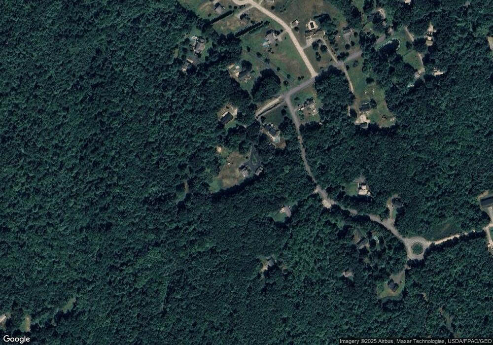
Map
Nearby Homes
- 0 Lindsay Ln
- 41 Dogwood Dr
- 8 Dogwood Dr
- 43 Knights Pond Rd
- 13 Beech Rd
- 27 Locust Ln
- 29 Carriage Hill Ln
- 13 Beaver Dam Rd
- 22 High Knoll Dr
- 3 Legend Trail
- 24 Farmgate Rd
- 58 Beaver Dam Rd
- 10 Hill Dr
- 3 Bhoireann Ln
- 44 Mill Ln
- 4 Bhoireann Ln
- 28 Sunrise Hill
- 31 Sunrise Hill
- 76 Punkintown Rd
- 14 Payneton Hill Rd
- 128 Wild Rose Ln
- 2 Stacy Ln
- 124 Wild Rose Ln
- 4 Stacy Ln
- 122 Wild Rose Ln
- 113 Wild Rose Ln
- 0 Stacy Ln
- lot 3 Schoolhouse Ln
- 107 Wild Rose Ln
- 11 Schoolhouse Ln
- 6 Stacy Ln
- 15 Schoolhouse Ln
- lot 2 Schoolhouse Ln
- lot 4 Schoolhouse Ln
- 0 Stonewall Ln Unit 844761
- 0 Stonewall Ln Unit 2A 1069212
- 0 Stonewall Ln Unit 2B 1069216
- 0 Stonewall Ln Unit 1B 1069221
- 0 Stonewall Ln Unit 1A 1069220