1310 Airport Rd Emmett, ID 83617
Gem County NeighborhoodEstimated Value: $362,000 - $624,257
1
Bed
1
Bath
1,280
Sq Ft
$391/Sq Ft
Est. Value
About This Home
This home is located at 1310 Airport Rd, Emmett, ID 83617 and is currently estimated at $500,752, approximately $391 per square foot. 1310 Airport Rd is a home with nearby schools including Shadow Butte Elementary School and Calvary Christian Academy.
Ownership History
Date
Name
Owned For
Owner Type
Purchase Details
Closed on
Sep 25, 2024
Sold by
Youngstrom Jason and Youngstrom Kiley
Bought by
Youngstrom Joint Living Trust and Youngstrom
Current Estimated Value
Purchase Details
Closed on
Jul 29, 2020
Sold by
Youngstrom Kiley
Bought by
Youngstrom Jason Aaron
Home Financials for this Owner
Home Financials are based on the most recent Mortgage that was taken out on this home.
Original Mortgage
$350,000
Interest Rate
2.9%
Mortgage Type
New Conventional
Purchase Details
Closed on
Jul 27, 2017
Sold by
Youngstrom Edgar Leroy and Youngstrom Angela Ann
Bought by
Youngstrom Jason Aaron
Create a Home Valuation Report for This Property
The Home Valuation Report is an in-depth analysis detailing your home's value as well as a comparison with similar homes in the area
Home Values in the Area
Average Home Value in this Area
Purchase History
| Date | Buyer | Sale Price | Title Company |
|---|---|---|---|
| Youngstrom Joint Living Trust | -- | None Listed On Document | |
| Youngstrom Jason Aaron | -- | Pioneer Title Co Of Gem C | |
| Youngstrom Jason Aaron | -- | None Available |
Source: Public Records
Mortgage History
| Date | Status | Borrower | Loan Amount |
|---|---|---|---|
| Previous Owner | Youngstrom Jason Aaron | $350,000 |
Source: Public Records
Tax History Compared to Growth
Tax History
| Year | Tax Paid | Tax Assessment Tax Assessment Total Assessment is a certain percentage of the fair market value that is determined by local assessors to be the total taxable value of land and additions on the property. | Land | Improvement |
|---|---|---|---|---|
| 2024 | $1,132 | $497,623 | $182,342 | $315,281 |
| 2023 | $987 | $501,934 | $152,564 | $349,370 |
| 2021 | $1,259 | $381,750 | $108,946 | $272,804 |
| 2020 | $1,202 | $282,561 | $77,531 | $205,030 |
| 2019 | $81 | $13,053 | $13,053 | $0 |
| 2018 | $88 | $12,312 | $12,312 | $0 |
Source: Public Records
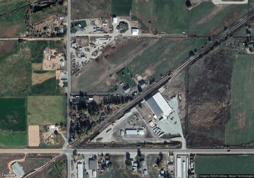
Map
Nearby Homes
- 2213 W Highway 52
- 1182 Dittman Dr
- 729 S Mill Rd
- 1168 Kaetzel Way
- 1424 Mill Rd
- 2412 S Mill Rd
- 3170 W Sales Yard Rd
- 3230 W Sales Yard Rd
- 878 W Jasper St
- Columbia 2530 Plan at Skyhawk
- 651 S Jayo Ct
- 672 W Jayo Ct
- 672 S Jayo Ct
- 652 S Jayo Ct
- 2223 W Sales Yard Rd
- 3345 Kings Ln
- 1116 Johnson Ave
- TBD Cascade Rd
- 3800 Birch Ln
- 2719 W Highway 52
- 1520 Airport Rd
- 1510 Airport Rd
- 1624 Airport Rd
- 1233 Airport Rd
- 1666 Airport Rd
- 1670 Airport Rd
- 1111 Airport Rd
- 1813 W Highway 52
- 1911 W Highway 52
- 1110 Airport Rd
- 1797 W Highway 52
- 1995 W Highway 52
- 1749 W Highway 52
- 1749 W Highway 52
- 1XXX N Airport Rd #3
- 1XXX N Airport Rd #2
- 1745 W Highway 52
- 715 Airport Rd
- TBD Strum Ln