1310 Cameron Ln Whitefish, MT 59937
Estimated Value: $1,136,000 - $1,443,847
3
Beds
3
Baths
1,604
Sq Ft
$806/Sq Ft
Est. Value
About This Home
This home is located at 1310 Cameron Ln, Whitefish, MT 59937 and is currently estimated at $1,292,212, approximately $805 per square foot. 1310 Cameron Ln is a home located in Flathead County with nearby schools including L.A. Muldown School, Whitefish Middle School, and Whitefish High School.
Ownership History
Date
Name
Owned For
Owner Type
Purchase Details
Closed on
Dec 14, 2020
Sold by
Morris David M
Bought by
Engler Gaelen D and Frerk Jacob T
Current Estimated Value
Home Financials for this Owner
Home Financials are based on the most recent Mortgage that was taken out on this home.
Original Mortgage
$365,000
Outstanding Balance
$325,538
Interest Rate
2.8%
Mortgage Type
New Conventional
Estimated Equity
$966,674
Purchase Details
Closed on
Oct 4, 2007
Sold by
Morris Wendy J
Bought by
Morris David M
Home Financials for this Owner
Home Financials are based on the most recent Mortgage that was taken out on this home.
Original Mortgage
$225,000
Interest Rate
6.46%
Mortgage Type
New Conventional
Create a Home Valuation Report for This Property
The Home Valuation Report is an in-depth analysis detailing your home's value as well as a comparison with similar homes in the area
Purchase History
| Date | Buyer | Sale Price | Title Company |
|---|---|---|---|
| Engler Gaelen D | -- | None Available | |
| Morris David M | -- | Citizens Title And Escrow Co |
Source: Public Records
Mortgage History
| Date | Status | Borrower | Loan Amount |
|---|---|---|---|
| Open | Engler Gaelen D | $365,000 | |
| Previous Owner | Morris David M | $225,000 |
Source: Public Records
Tax History
| Year | Tax Paid | Tax Assessment Tax Assessment Total Assessment is a certain percentage of the fair market value that is determined by local assessors to be the total taxable value of land and additions on the property. | Land | Improvement |
|---|---|---|---|---|
| 2025 | $3,426 | $1,042,222 | $0 | $0 |
| 2024 | $3,310 | $735,069 | $0 | $0 |
| 2023 | $3,501 | $735,069 | $0 | $0 |
| 2022 | $2,961 | $438,239 | $0 | $0 |
| 2021 | $2,847 | $438,239 | $0 | $0 |
| 2020 | $2,850 | $392,981 | $0 | $0 |
| 2019 | $3,040 | $392,981 | $0 | $0 |
| 2018 | $2,569 | $320,961 | $0 | $0 |
| 2017 | $2,409 | $320,961 | $0 | $0 |
| 2016 | $2,070 | $267,461 | $0 | $0 |
| 2015 | $2,043 | $267,461 | $0 | $0 |
| 2014 | $2,076 | $179,256 | $0 | $0 |
Source: Public Records
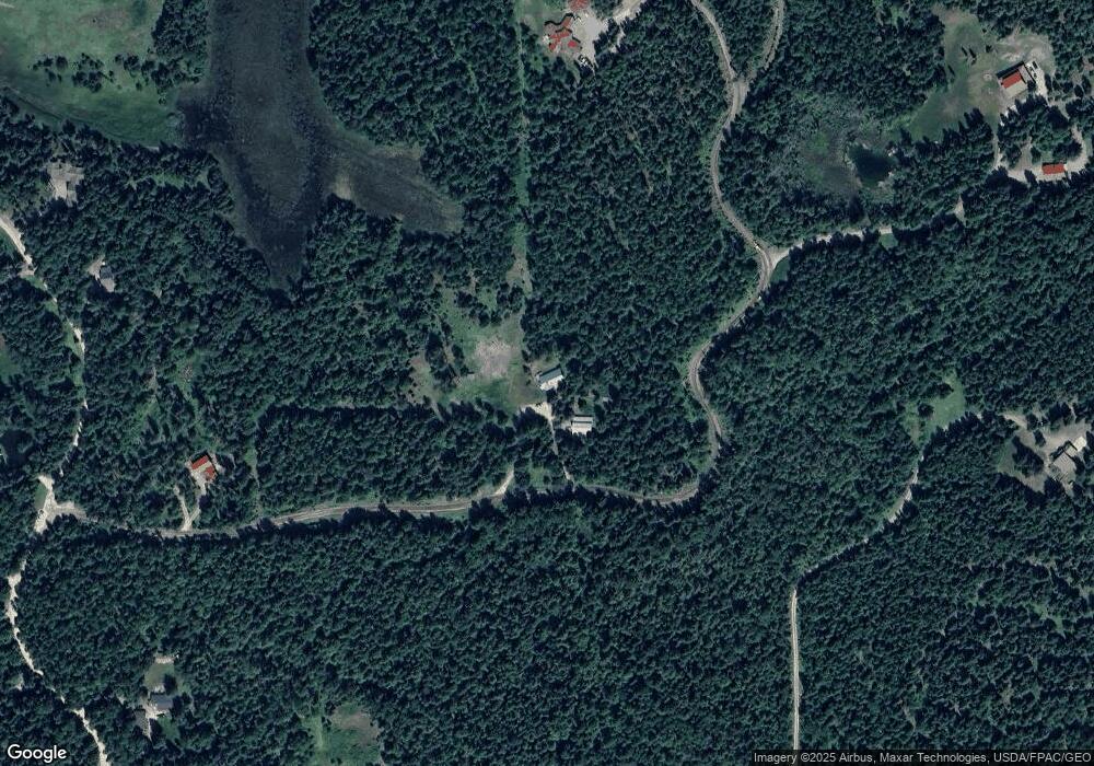
Map
Nearby Homes
- 88 Abbey Rd
- 104 Abbey Rd
- 380 & 390 Haskill Basin Rd
- 420 Little Creek Ln
- 339 Haskill Basin Rd
- 1800 E Edgewood Dr
- 2911 Snowghost Dr
- 341 Burly Bear Trail
- 2178 Snowghost Dr
- NHN Trumble Canyon Crossroad
- 207 Wilhelm Way
- 355 Reservoir Rd
- 292 Reservoir Rd
- 201 Woodlandstar Cir
- 323 Haskill Creek Rd Unit A/B
- 214 Aspen Ln
- 165 Woodland Star Cir
- 573 Armory Rd
- 84 Wedgewood Ln
- 254 S Beargrass Cir
- 1320 Cameron Ln
- 1180 Haskill Basin Rd
- 1060 Cameron Ln
- 1190 Haskill Basin Rd
- 1150 Haskill Basin Rd
- 251 Renegade Ridge Rd
- 1300 Haskill Basin Rd
- 1330 Cameron Ln
- 312 Renegade Ridge Rd
- 368 Renegade Ridge Rd
- 368 Renegade Ridge Rd
- 1070 Haskill Basin Rd
- 1100 Haskill Basin Rd
- 1169 Haskill Basin Rd
- 1225 Haskill Basin Rd
- 204 Renegade Ridge Rd
- 264 Renegade Ridge Rd
- 160 Renegade Ridge Rd
- 1360 Cameron Ln
- Nhn Cameron Ln
Your Personal Tour Guide
Ask me questions while you tour the home.