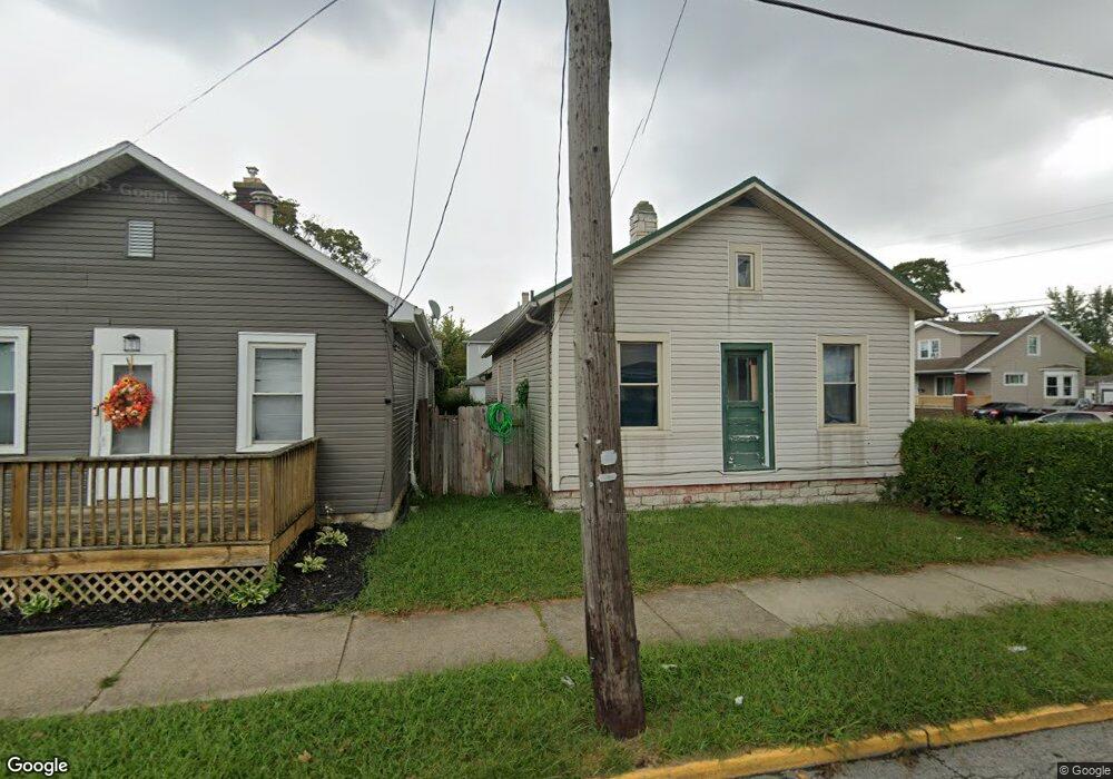
1310 Camp St Sandusky, OH 44870
Estimated Value: $101,669 - $115,000
4
Beds
1
Bath
1,426
Sq Ft
$78/Sq Ft
Est. Value
About This Home
This home is located at 1310 Camp St, Sandusky, OH 44870 and is currently estimated at $111,167, approximately $77 per square foot. 1310 Camp St is a home located in Erie County with nearby schools including Sandusky High School, Monroe Preparatory Academy, and Sandusky Central Catholic School.
Ownership History
Date
Name
Owned For
Owner Type
Purchase Details
Closed on
May 13, 2009
Sold by
Cross Pointe Investments Inc
Bought by
Ralofsky Louis
Current Estimated Value
Purchase Details
Closed on
Apr 19, 2008
Sold by
Deutsche Bank National Trust Co
Bought by
Crosspoint Investments Inc
Purchase Details
Closed on
Dec 24, 2007
Sold by
Jarvis Joseph H
Bought by
Deutsche Bank National Trust Co
Purchase Details
Closed on
Nov 28, 2000
Sold by
Williams Stacy M
Bought by
Jarvis Joseph
Home Financials for this Owner
Home Financials are based on the most recent Mortgage that was taken out on this home.
Original Mortgage
$45,000
Interest Rate
10.75%
Mortgage Type
New Conventional
Create a Home Valuation Report for This Property
The Home Valuation Report is an in-depth analysis detailing your home's value as well as a comparison with similar homes in the area
Home Values in the Area
Average Home Value in this Area
Purchase History
| Date | Buyer | Sale Price | Title Company |
|---|---|---|---|
| Ralofsky Louis | $25,000 | Attorney | |
| Crosspoint Investments Inc | $21,900 | Accu Title Agency Inc | |
| Deutsche Bank National Trust Co | $32,016 | None Available | |
| Jarvis Joseph | $38,000 | -- |
Source: Public Records
Mortgage History
| Date | Status | Borrower | Loan Amount |
|---|---|---|---|
| Previous Owner | Jarvis Joseph | $45,000 |
Source: Public Records
Tax History
| Year | Tax Paid | Tax Assessment Tax Assessment Total Assessment is a certain percentage of the fair market value that is determined by local assessors to be the total taxable value of land and additions on the property. | Land | Improvement |
|---|---|---|---|---|
| 2024 | $1,071 | $27,454 | $2,695 | $24,759 |
| 2023 | $1,082 | $19,218 | $2,156 | $17,062 |
| 2022 | $974 | $19,218 | $2,156 | $17,062 |
| 2021 | $983 | $19,220 | $2,160 | $17,060 |
| 2020 | $1,012 | $18,190 | $2,160 | $16,030 |
| 2019 | $1,041 | $18,190 | $2,160 | $16,030 |
| 2018 | $1,042 | $18,190 | $2,160 | $16,030 |
| 2017 | $1,134 | $19,730 | $2,320 | $17,410 |
| 2016 | $1,133 | $19,730 | $2,320 | $17,410 |
| 2015 | $1,027 | $19,730 | $2,320 | $17,410 |
| 2014 | $1,791 | $21,660 | $2,320 | $19,340 |
| 2013 | $1,109 | $21,660 | $2,320 | $19,340 |
Source: Public Records
Map
Nearby Homes
- 1318 Tyler St
- 1329 Carr St
- 1330 Carr St
- 911 A St
- 1330 Clinton St
- 1333 Shelby St
- 1308 W Madison St
- 1204 W Monroe St
- 1510 Pearl St
- 1308 Vine St
- 932 W Madison St
- 17 Tyler Way
- 1523 Central Ave
- 1618 Mcdonough St
- 1105 W Adams St
- 1311 Filmore St
- 1604 Central Ave
- 325 Mcdonough St
- 808 Fulton St
- 1319 Tiffin Ave
Your Personal Tour Guide
Ask me questions while you tour the home.