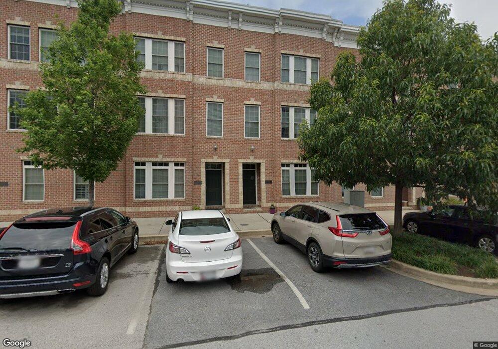
1310 Decatur St Baltimore, MD 21230
Locust Point NeighborhoodEstimated Value: $547,739 - $664,000
3
Beds
3
Baths
2,470
Sq Ft
$245/Sq Ft
Est. Value
About This Home
This home is located at 1310 Decatur St, Baltimore, MD 21230 and is currently estimated at $605,870, approximately $245 per square foot. 1310 Decatur St is a home located in Baltimore City with nearby schools including Francis Scott Key Elementary/Middle School, Booker T. Washington Middle School, and Digital Harbor High School.
Ownership History
Date
Name
Owned For
Owner Type
Purchase Details
Closed on
Sep 20, 2011
Sold by
Locust Point Llc
Bought by
Lanham Austin H and Lanham Jayni
Current Estimated Value
Home Financials for this Owner
Home Financials are based on the most recent Mortgage that was taken out on this home.
Original Mortgage
$307,032
Interest Rate
4.25%
Mortgage Type
New Conventional
Create a Home Valuation Report for This Property
The Home Valuation Report is an in-depth analysis detailing your home's value as well as a comparison with similar homes in the area
Home Values in the Area
Average Home Value in this Area
Purchase History
| Date | Buyer | Sale Price | Title Company |
|---|---|---|---|
| Lanham Austin H | $383,790 | Residential Title & Escrow C |
Source: Public Records
Mortgage History
| Date | Status | Borrower | Loan Amount |
|---|---|---|---|
| Previous Owner | Lanham Austin H | $307,032 |
Source: Public Records
Tax History
| Year | Tax Paid | Tax Assessment Tax Assessment Total Assessment is a certain percentage of the fair market value that is determined by local assessors to be the total taxable value of land and additions on the property. | Land | Improvement |
|---|---|---|---|---|
| 2025 | $9,386 | $443,867 | -- | -- |
| 2024 | $9,386 | $435,133 | -- | -- |
| 2023 | $9,225 | $426,400 | $130,000 | $296,400 |
| 2022 | $9,242 | $426,400 | $130,000 | $296,400 |
| 2021 | $10,063 | $426,400 | $130,000 | $296,400 |
| 2020 | $9,482 | $438,800 | $130,000 | $308,800 |
| 2019 | $9,434 | $438,800 | $130,000 | $308,800 |
| 2018 | $9,393 | $438,800 | $130,000 | $308,800 |
| 2017 | $9,108 | $449,800 | $0 | $0 |
| 2016 | $947 | $423,967 | $0 | $0 |
| 2015 | $947 | $408,800 | $0 | $0 |
| 2014 | $947 | $372,300 | $0 | $0 |
Source: Public Records
Map
Nearby Homes
- 1314 Haubert St
- 1312 Haubert St
- 1425 E Clement St
- 1432 Haubert St
- 1406 Cooksie St
- 1358 Towson St
- 1212 Towson St
- 1600 Beason St
- 1511 Lowman St
- 1500 Latrobe Park Terrace
- 1327 Richardson St
- 1337 Richardson St
- 1518 Decatur St Unit C
- 1352 Andre St
- 1436 Andre St
- 1446 Andre St
- 1200 Steuart St Unit 713
- 1200 Steuart St Unit 1111
- 1200 Steuart St Unit 425
- 1200 Steuart St Unit 1711
- 1308 Decatur St
- 1312 Decatur St
- 1306 Decatur St
- 1314 Decatur St
- 1316 Decatur St
- 1304 Decatur St
- 1311 Lowman St
- 1313 Lowman St
- 1309 Lowman St
- 1302 Decatur St
- 1315 Lowman St
- 1307 Lowman St
- 1318 Decatur St
- 1305 Lowman St
- 1300 Decatur St
- 1303 Lowman St
- 1319 Lowman St
- 1320 Decatur St
- 1301 Lowman St
- 1321 Lowman St
Your Personal Tour Guide
Ask me questions while you tour the home.