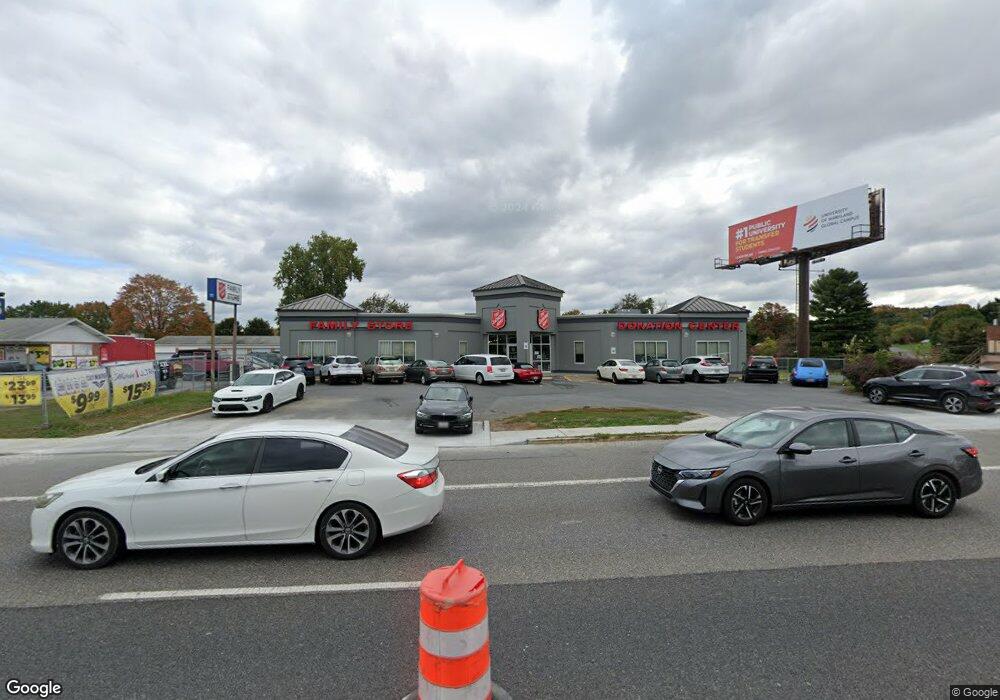
1310 Dual Hwy Hagerstown, MD 21740
South End Neighborhood
--
Bed
--
Bath
2,448
Sq Ft
6,752
Sq Ft Lot
About This Home
This home is located at 1310 Dual Hwy, Hagerstown, MD 21740. 1310 Dual Hwy is a home located in Washington County with nearby schools including Ruth Ann Monroe Primary School, Eastern Elementary School, and E. Russell Hicks Middle School.
Ownership History
Date
Name
Owned For
Owner Type
Purchase Details
Closed on
Dec 5, 2019
Sold by
Ali Real Estate Llc
Bought by
The Salvation Army
Purchase Details
Closed on
Jan 5, 2016
Sold by
Baderzada Qambar A
Bought by
Ali Real Estate Llc
Purchase Details
Closed on
Dec 18, 1995
Sold by
Vanmater Harry D
Bought by
Rosenthal Family Partnership
Create a Home Valuation Report for This Property
The Home Valuation Report is an in-depth analysis detailing your home's value as well as a comparison with similar homes in the area
Home Values in the Area
Average Home Value in this Area
Purchase History
| Date | Buyer | Sale Price | Title Company |
|---|---|---|---|
| The Salvation Army | $875,000 | None Available | |
| Ali Real Estate Llc | -- | Attorney | |
| Rosenthal Family Partnership | $255,000 | -- |
Source: Public Records
Tax History Compared to Growth
Tax History
| Year | Tax Paid | Tax Assessment Tax Assessment Total Assessment is a certain percentage of the fair market value that is determined by local assessors to be the total taxable value of land and additions on the property. | Land | Improvement |
|---|---|---|---|---|
| 2025 | $2,014 | $194,633 | $0 | $0 |
| 2024 | $2,014 | $194,500 | $108,000 | $86,500 |
| 2023 | $2,014 | $194,500 | $108,000 | $86,500 |
| 2022 | $2,014 | $194,500 | $108,000 | $86,500 |
| 2021 | $3,284 | $311,200 | $108,000 | $203,200 |
| 2020 | $3,227 | $305,767 | $0 | $0 |
| 2019 | $3,184 | $300,333 | $0 | $0 |
| 2018 | $3,124 | $294,900 | $108,000 | $186,900 |
| 2017 | $3,126 | $294,900 | $0 | $0 |
| 2016 | -- | $294,900 | $0 | $0 |
| 2015 | $2,923 | $294,900 | $0 | $0 |
| 2014 | $2,923 | $288,933 | $0 | $0 |
Source: Public Records
Map
Nearby Homes
- 134 Catawba Place
- 19 Catawba Place
- 21 Harvard Rd
- 27 Lehigh Ave
- 501 Cornell Ave
- 37 A & B S Colonial Dr
- 1230 Mount Aetna Rd
- 631 Cornell Ave
- 1522 Dual Hwy
- 1 Dartmouth Dr
- 101 Tulip Ct
- 716 Largo Dr
- 151 Brynwood St
- 703-705 Mt Aetna Rd
- 1619 Dual Hwy
- 190 Brynwood St
- 360 S Cleveland Ave
- 212 Brynwood St
- 830 Westwood St
- 300 S Cleveland Ave