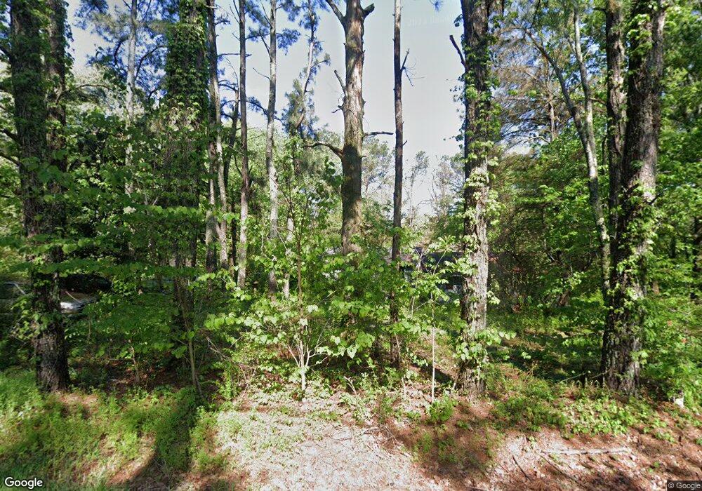
Estimated Value: $128,452 - $218,000
Studio
2
Baths
925
Sq Ft
$188/Sq Ft
Est. Value
About This Home
This home is located at 1310 Ecology Loop, Eads, TN 38028 and is currently estimated at $173,613, approximately $187 per square foot. 1310 Ecology Loop is a home located in Fayette County with nearby schools including Oakland Elementary School, West Junior High School, and Fayette Ware Comprehensive High School.
Ownership History
Date
Name
Owned For
Owner Type
Purchase Details
Closed on
Sep 5, 2019
Sold by
W C Adams Land Company
Bought by
Adams Warren C and Adams Donna
Current Estimated Value
Purchase Details
Closed on
Mar 2, 2012
Sold by
W C Adams Land Co
Bought by
Adams Warren C and Adams Donna
Purchase Details
Closed on
Oct 4, 2007
Sold by
Luttrell Roger
Bought by
Adams Warren C
Purchase Details
Closed on
Jun 24, 1972
Bought by
Luttrell Smith
Purchase Details
Closed on
Jan 1, 1972
Create a Home Valuation Report for This Property
The Home Valuation Report is an in-depth analysis detailing your home's value as well as a comparison with similar homes in the area
Purchase History
| Date | Buyer | Sale Price | Title Company |
|---|---|---|---|
| Adams Warren C | -- | None Available | |
| Adams Warren C | -- | -- | |
| Adams Warren C | $65,000 | -- | |
| Luttrell Smith | -- | -- | |
| -- | $1,600 | -- |
Source: Public Records
Tax History
| Year | Tax Paid | Tax Assessment Tax Assessment Total Assessment is a certain percentage of the fair market value that is determined by local assessors to be the total taxable value of land and additions on the property. | Land | Improvement |
|---|---|---|---|---|
| 2025 | $202 | $19,950 | $7,950 | $12,000 |
| 2024 | $202 | $15,650 | $7,200 | $8,450 |
| 2023 | $202 | $15,650 | $0 | $0 |
| 2022 | $202 | $15,650 | $7,200 | $8,450 |
| 2021 | $202 | $15,650 | $7,200 | $8,450 |
| 2020 | $214 | $15,650 | $7,200 | $8,450 |
| 2019 | $214 | $14,200 | $7,200 | $7,000 |
| 2018 | $214 | $14,200 | $7,200 | $7,000 |
| 2017 | $214 | $14,200 | $7,200 | $7,000 |
| 2016 | $225 | $14,025 | $7,200 | $6,825 |
| 2015 | $225 | $14,025 | $7,200 | $6,825 |
| 2014 | $225 | $14,025 | $7,200 | $6,825 |
Source: Public Records
Map
Nearby Homes
- 390 Rolling Acres Dr
- 245 Ecology Loop
- 2000 U S Highway 64
- 225 Bibury Ln
- 260 Bibury Ln
- 410 Cypress Village Ln
- 450 Cypress Village Ln
- 0 Bell Grove Rd Unit 10211043
- 0 Bell Grove Rd Unit 23176368
- 0 Bell Grove Rd Unit 10211044
- 35 Meadow Springs Cove
- 320 Forest Glade Cove
- 1575-1105 Bell Grove Rd
- 18160 Tennessee 196
- 18670 Tennessee 196
- Dover Plan at Riverwood Gardens
- Denham Plan at Riverwood Gardens
- Bristol Bonus Plan at Riverwood Gardens
- Cairn Plan at Riverwood Gardens
- Clifton Plan at Riverwood Gardens
- 1325 Ecology Loop
- 1275 Ecology Loop
- 800 Donelson Dr
- 95 Rolling Acres Dr
- 1400 Ecology Loop
- 1260 Ecology Loop
- 1260 Ecology Loop Unit 5.65 acr
- 1415 Ecology Loop
- 775 Norse Rd
- 825 Donelson Dr
- 745 Norse Rd
- 770 Norse Rd
- 845 Donelson Dr
- 690 Donelson Dr
- 1215 Ecology Loop
- 1125 Ecology Loop
- 550 Donelson Dr
- 490 Donelson Dr
- 245 Rolling Acres Dr
- 965 Donelson Dr
Your Personal Tour Guide
Ask me questions while you tour the home.
