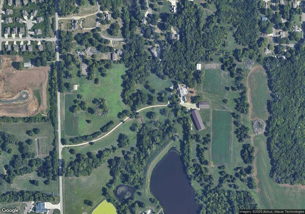
1310 S Lakeshore Dr Olathe, KS 66061
Estimated Value: $580,000 - $1,536,907
4
Beds
4
Baths
2,686
Sq Ft
$340/Sq Ft
Est. Value
About This Home
This home is located at 1310 S Lakeshore Dr, Olathe, KS 66061 and is currently estimated at $913,302, approximately $340 per square foot. 1310 S Lakeshore Dr is a home located in Johnson County with nearby schools including Clearwater Creek Elementary School, Oregon Trail Middle School, and Olathe West High School.
Ownership History
Date
Name
Owned For
Owner Type
Purchase Details
Closed on
Aug 23, 2005
Sold by
Hatfield Howard L and Hatfield Diana S
Bought by
Collis David W and Hughes Ann M
Current Estimated Value
Home Financials for this Owner
Home Financials are based on the most recent Mortgage that was taken out on this home.
Original Mortgage
$960,000
Interest Rate
5.78%
Mortgage Type
New Conventional
Create a Home Valuation Report for This Property
The Home Valuation Report is an in-depth analysis detailing your home's value as well as a comparison with similar homes in the area
Home Values in the Area
Average Home Value in this Area
Purchase History
| Date | Buyer | Sale Price | Title Company |
|---|---|---|---|
| Collis David W | -- | First American Title | |
| Collis Dave W | -- | First American Title |
Source: Public Records
Mortgage History
| Date | Status | Borrower | Loan Amount |
|---|---|---|---|
| Closed | Collis Dave W | $960,000 |
Source: Public Records
Tax History Compared to Growth
Tax History
| Year | Tax Paid | Tax Assessment Tax Assessment Total Assessment is a certain percentage of the fair market value that is determined by local assessors to be the total taxable value of land and additions on the property. | Land | Improvement |
|---|---|---|---|---|
| 2024 | $16,026 | $139,103 | $61,540 | $77,563 |
| 2023 | $15,698 | $134,974 | $58,647 | $76,327 |
| 2022 | $13,792 | $115,392 | $53,291 | $62,101 |
| 2021 | $12,290 | $98,682 | $44,473 | $54,209 |
| 2020 | $13,312 | $105,881 | $44,473 | $61,408 |
| 2019 | $12,370 | $104,627 | $41,579 | $63,048 |
| 2018 | $11,682 | $91,658 | $41,558 | $50,100 |
| 2017 | $11,060 | $85,886 | $35,258 | $50,628 |
| 2016 | $10,315 | $82,135 | $35,258 | $46,877 |
| 2015 | $9,962 | $79,361 | $35,258 | $44,103 |
| 2013 | -- | $75,629 | $35,258 | $40,371 |
Source: Public Records
Map
Nearby Homes
- 14511 S Dawson St
- 14559 S Dawson St
- 24853 W 145th Place
- Cambridge Plan at Huntford - Phase 2
- Windsor Plan at Huntford - Phase 2
- Sonoma Plan at Huntford - Phase 2
- Bristol Plan at Huntford - Phase 2
- Fairfield Expanded Plan at Huntford - Phase 2
- Fairfield Plan at Lakeshore Meadows
- Monterey Plan at Lakeshore Meadows
- Westbrook Plan at Lakeshore Meadows
- 24956 W 145th St
- 14416 S Houston St
- 14289 S Houston St
- 24876 W 148th Ct
- The Wyndham V Plan at Lakeview Ridge
- The Timberland Reverse Plan at Lakeview Ridge
- The York Plan at Lakeview Ridge
- The Wyndham II Plan at Lakeview Ridge
- The Timberland Plan at Lakeview Ridge
- 1048 S Wyckford St
- 1040 S Wyckford St
- 1055 S Wyckford St
- 1032 S Wyckford St
- 1045 S Wyckford St
- 1111 S Palmer Ln
- 1070 S Wyckford St
- 1109 S Palmer Ln
- 1065 S Wyckford St
- 1113 S Palmer Ln
- 2815 W Dennis Ave
- 1107 S Palmer Ln
- 1024 S Wyckford St
- 1112 S Palmer Ln
- 1105 S Palmer Ln
- 1075 S Wyckford St
- 1115 S Palmer Ln
- 1082 S Wyckford St
- 1401 S Lakestone Dr
- 1108 S Palmer Ln