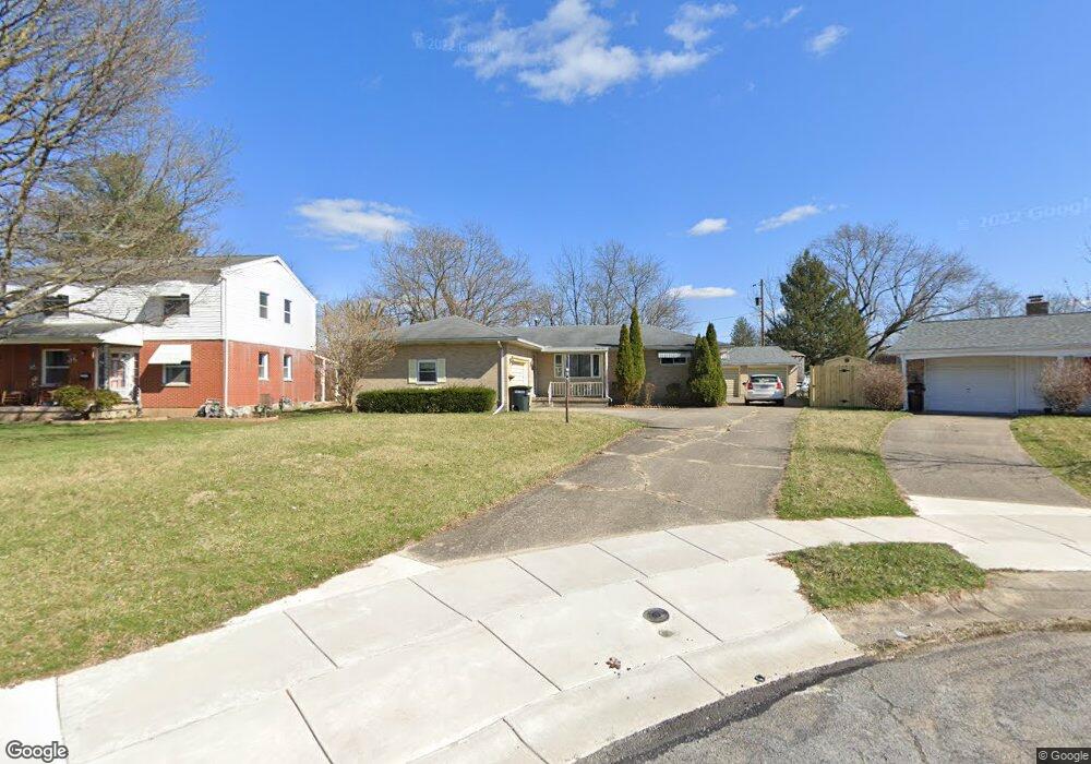
1310 Skyline Ln Springfield, OH 45505
Estimated Value: $168,000 - $240,000
2
Beds
1
Bath
1,455
Sq Ft
$135/Sq Ft
Est. Value
About This Home
This home is located at 1310 Skyline Ln, Springfield, OH 45505 and is currently estimated at $196,031, approximately $134 per square foot. 1310 Skyline Ln is a home located in Clark County with nearby schools including Kenwood Elementary School, Hayward Middle School, and Springfield High School.
Ownership History
Date
Name
Owned For
Owner Type
Purchase Details
Closed on
Jun 21, 2004
Sold by
Estate Of Dennis L Jenkins
Bought by
Jenkins Mary E
Current Estimated Value
Purchase Details
Closed on
Mar 19, 1997
Sold by
Hendricks John C
Bought by
Jenkins Dennis L
Home Financials for this Owner
Home Financials are based on the most recent Mortgage that was taken out on this home.
Original Mortgage
$69,400
Interest Rate
7.82%
Mortgage Type
FHA
Purchase Details
Closed on
Oct 28, 1994
Sold by
Erus Robert S
Bought by
Hendriks John C and Hendriks Margaret
Create a Home Valuation Report for This Property
The Home Valuation Report is an in-depth analysis detailing your home's value as well as a comparison with similar homes in the area
Home Values in the Area
Average Home Value in this Area
Purchase History
| Date | Buyer | Sale Price | Title Company |
|---|---|---|---|
| Jenkins Mary E | -- | -- | |
| Jenkins Dennis L | $82,900 | -- | |
| Hendriks John C | $74,500 | -- |
Source: Public Records
Mortgage History
| Date | Status | Borrower | Loan Amount |
|---|---|---|---|
| Previous Owner | Jenkins Dennis L | $69,400 |
Source: Public Records
Tax History Compared to Growth
Tax History
| Year | Tax Paid | Tax Assessment Tax Assessment Total Assessment is a certain percentage of the fair market value that is determined by local assessors to be the total taxable value of land and additions on the property. | Land | Improvement |
|---|---|---|---|---|
| 2024 | $1,975 | $40,940 | $4,200 | $36,740 |
| 2023 | $1,975 | $40,940 | $4,200 | $36,740 |
| 2022 | $2,024 | $40,940 | $4,200 | $36,740 |
| 2021 | $1,597 | $29,820 | $3,000 | $26,820 |
| 2020 | $1,601 | $29,820 | $3,000 | $26,820 |
| 2019 | $1,605 | $29,820 | $3,000 | $26,820 |
| 2018 | $1,631 | $29,110 | $5,010 | $24,100 |
| 2017 | $1,630 | $29,106 | $5,005 | $24,101 |
| 2016 | $1,632 | $29,106 | $5,005 | $24,101 |
| 2015 | $1,664 | $29,106 | $5,005 | $24,101 |
| 2014 | $1,657 | $29,106 | $5,005 | $24,101 |
| 2013 | $1,639 | $29,106 | $5,005 | $24,101 |
Source: Public Records
Map
Nearby Homes
- 1915 Kenwood Ave
- 1554 S Belmont Ave
- 1979 Kenton St
- 1810 Kenwood Ave
- 1225 Beacon St
- 1714 Kenton St
- 2229 N Hadley Rd
- 1562 Rutland Ave
- 1716 N Sweetbriar Ln
- 1815 Beacon St
- 1832 Victory Dr
- 637 S Arlington Ave
- 1210 Burt St
- 1630 S Sweetbriar Ln
- 535 S Hubert Ave
- 603 Linwood Ave Unit 605
- 2209 Memorial Dr
- 875 Gable St
- 500 S Belmont Ave Unit 502
- 523 Linwood Ave
- 1300 Skyline Ln
- 1314 Skyline Ln
- 1317 Skyline Ln
- 2104 Rutland Ave
- 2112 Rutland Ave
- 2049 Maryland Ave
- 2080 Rutland Ave
- 2068 Rutland Ave
- 1309 Skyline Ln
- 1307 Skyline Ln
- 2118 Rutland Ave
- 2054 Rutland Ave
- 2044 Rutland Ave
- 2126 Rutland Ave
- 2052 Maryland Ave
- 2035 Maryland Ave
- 2040 Rutland Ave
- 2046 Maryland Ave
- 2130 Rutland Ave
- 2061 Kenton St