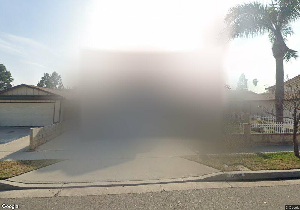
13100 Andy St Cerritos, CA 90703
Estimated Value: $1,209,000 - $1,391,000
4
Beds
4
Baths
2,302
Sq Ft
$564/Sq Ft
Est. Value
About This Home
This home is located at 13100 Andy St, Cerritos, CA 90703 and is currently estimated at $1,298,137, approximately $563 per square foot. 13100 Andy St is a home located in Los Angeles County with nearby schools including Frank C. Leal Elementary School, Tetzlaff (Martin B.) Middle School, and Cerritos High School.
Ownership History
Date
Name
Owned For
Owner Type
Purchase Details
Closed on
Sep 26, 2023
Sold by
Sung and Hui-Wen
Bought by
Sung-Tsao Family Trust and Sung
Current Estimated Value
Purchase Details
Closed on
May 29, 2001
Sold by
Lin Yu Chang Huang and The Chang Huang Lin Yu Family
Bought by
Sung Jen Yeh
Home Financials for this Owner
Home Financials are based on the most recent Mortgage that was taken out on this home.
Original Mortgage
$340,000
Interest Rate
7.24%
Purchase Details
Closed on
Dec 15, 2000
Sold by
Chang Lin Yu Huang
Bought by
Lin Yu Chang Huang and The Chang Huang Lin Yu Family Trust
Purchase Details
Closed on
Mar 27, 2000
Sold by
Chang Hung I
Bought by
Chang Lin Yu Huang
Purchase Details
Closed on
Oct 20, 1993
Sold by
Chang Hung I and Chang Lin Yu Huang
Bought by
Chang Hung I
Create a Home Valuation Report for This Property
The Home Valuation Report is an in-depth analysis detailing your home's value as well as a comparison with similar homes in the area
Home Values in the Area
Average Home Value in this Area
Purchase History
| Date | Buyer | Sale Price | Title Company |
|---|---|---|---|
| Sung-Tsao Family Trust | -- | None Listed On Document | |
| Sung Jen Yeh | $445,000 | Ticor Title | |
| Lin Yu Chang Huang | -- | -- | |
| Chang Lin Yu Huang | -- | -- | |
| Chang Hung I | -- | -- |
Source: Public Records
Mortgage History
| Date | Status | Borrower | Loan Amount |
|---|---|---|---|
| Previous Owner | Sung Jen Yeh | $340,000 |
Source: Public Records
Tax History
| Year | Tax Paid | Tax Assessment Tax Assessment Total Assessment is a certain percentage of the fair market value that is determined by local assessors to be the total taxable value of land and additions on the property. | Land | Improvement |
|---|---|---|---|---|
| 2025 | $7,424 | $622,081 | $308,604 | $313,477 |
| 2024 | $7,424 | $609,884 | $302,553 | $307,331 |
| 2023 | $7,181 | $597,926 | $296,621 | $301,305 |
| 2022 | $7,071 | $586,203 | $290,805 | $295,398 |
| 2021 | $6,899 | $574,709 | $285,103 | $289,606 |
| 2019 | $6,739 | $557,665 | $276,648 | $281,017 |
| 2018 | $6,248 | $546,731 | $271,224 | $275,507 |
| 2016 | $5,990 | $525,502 | $260,693 | $264,809 |
| 2015 | $5,914 | $517,610 | $256,778 | $260,832 |
| 2014 | $5,794 | $507,472 | $251,749 | $255,723 |
Source: Public Records
Map
Nearby Homes
- 18622 Kamstra Ave
- 18727 Holmes Ave
- 13026 San Salvador Place
- 13048 Acoro St
- 12711 Castleford Ln
- 13010 Artesia Blvd
- 18704 Stefani Ave
- 4922 El Rancho Verde Dr
- 4841 Sharon Dr
- 7662 Cory Cir
- 12361 Caravel Place
- 17112 Maurice Ave
- 12525 Semora St
- 12342 Edgefield St
- 12524 Bryce Cir
- 5091 Sharon Dr
- 17400 Laurelbrook Ct
- 13626 Aclare Ln
- 19705 Teresa Ct
- 19521 Rainbow Ct
- 13106 Andy St
- 13064 Andy St
- 13112 Andy St
- 13103 Droxford St
- 13058 Andy St
- 13107 Droxford St
- 13065 Droxford St
- 13113 Droxford St
- 13059 Droxford St
- 13116 Andy St
- 13052 Andy St
- 13103 Andy St
- 13109 Andy St
- 13117 Droxford St
- 13053 Droxford St
- 13113 Andy St
- 13063 Andy St
- 13122 Andy St
- 13048 Andy St
- 13117 Andy St
Your Personal Tour Guide
Ask me questions while you tour the home.