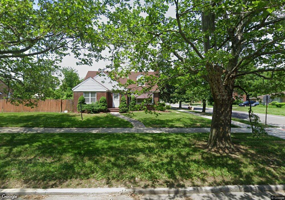
13100 Mackenzie St Detroit, MI 48228
Aviation NeighborhoodEstimated Value: $109,637 - $167,000
4
Beds
2
Baths
1,680
Sq Ft
$85/Sq Ft
Est. Value
About This Home
This home is located at 13100 Mackenzie St, Detroit, MI 48228 and is currently estimated at $143,409, approximately $85 per square foot. 13100 Mackenzie St is a home located in Wayne County with nearby schools including Barton Elementary School, Charles L. Spain Elementary-Middle School, and Edward 'Duke' Ellington Conservatory of Music and Art.
Ownership History
Date
Name
Owned For
Owner Type
Purchase Details
Closed on
Nov 25, 2020
Sold by
13100 Mackenzie Llc
Bought by
Business Done Right Llc
Current Estimated Value
Purchase Details
Closed on
Dec 12, 2018
Sold by
Petty Justin
Bought by
13100 Mackenzie Llc
Purchase Details
Closed on
May 7, 2017
Sold by
13100 Mackenzie Llc
Bought by
Petty Justin
Purchase Details
Closed on
Oct 18, 2016
Sold by
Parizon Michelle Ruth Brown
Bought by
Bank Of America N A
Create a Home Valuation Report for This Property
The Home Valuation Report is an in-depth analysis detailing your home's value as well as a comparison with similar homes in the area
Home Values in the Area
Average Home Value in this Area
Purchase History
| Date | Buyer | Sale Price | Title Company |
|---|---|---|---|
| Business Done Right Llc | $55,000 | Etitle Agency Inc | |
| 13100 Mackenzie Llc | -- | None Available | |
| Petty Justin | -- | None Available | |
| Petty Justin | -- | None Available | |
| Bank Of America N A | $19,680 | None Available |
Source: Public Records
Tax History Compared to Growth
Tax History
| Year | Tax Paid | Tax Assessment Tax Assessment Total Assessment is a certain percentage of the fair market value that is determined by local assessors to be the total taxable value of land and additions on the property. | Land | Improvement |
|---|---|---|---|---|
| 2025 | $2,961 | $67,300 | $0 | $0 |
| 2024 | $2,961 | $56,600 | $0 | $0 |
| 2023 | $2,000 | $44,200 | $0 | $0 |
| 2022 | $2,143 | $39,400 | $0 | $0 |
| 2021 | $2,080 | $31,600 | $0 | $0 |
| 2020 | $2,080 | $27,500 | $0 | $0 |
| 2019 | $2,245 | $20,400 | $0 | $0 |
| 2018 | $1,352 | $18,900 | $0 | $0 |
| 2017 | $359 | $18,900 | $0 | $0 |
| 2016 | $1,627 | $23,100 | $0 | $0 |
| 2015 | $2,310 | $23,100 | $0 | $0 |
| 2013 | $3,400 | $34,000 | $0 | $0 |
| 2010 | -- | $47,191 | $1,833 | $45,358 |
Source: Public Records
Map
Nearby Homes
- 13145 Mackenzie St
- 8537 Cheyenne St
- 12950 Mackenzie St
- 8285 Cheyenne St
- 8155 Appoline St
- 8919 Steel St
- 8207 Schaefer Hwy
- 5919 Oakman Blvd
- 8229 Carlin St
- 8833 Manor St
- 8869 Manor St
- 8875 Manor St
- 12953 Tireman Ave
- 9141 Hartwell St
- 7927 Bingham St
- 9150 Schaefer Hwy
- 9137 Meyers Rd
- 9231 Sorrento St
- 7870 Oakman Blvd
- 9185 Meyers Rd
- 13112 Mackenzie St
- 13122 Mackenzie St
- 13044 Mackenzie St
- 8525 Ward St
- 13132 Mackenzie St
- 8535 Ward St
- 13030 Mackenzie St
- 8530 Ward St
- 8528 Cheyenne St
- 13144 Mackenzie St
- 8536 Ward St
- 8545 Ward St
- 8536 Cheyenne St
- 13111 Mackenzie St
- 13020 Mackenzie St
- 8553 Ward St
- 13125 Mackenzie St
- 8544 Ward St
- 8544 Cheyenne St
- 8561 Ward St