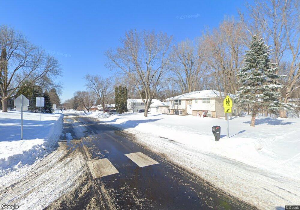
13101 Irving Ave S Burnsville, MN 55337
Estimated Value: $367,000 - $426,000
4
Beds
3
Baths
1,350
Sq Ft
$293/Sq Ft
Est. Value
About This Home
This home is located at 13101 Irving Ave S, Burnsville, MN 55337 and is currently estimated at $395,172, approximately $292 per square foot. 13101 Irving Ave S is a home located in Dakota County with nearby schools including Vista View Elementary School, Joseph Nicollet Middle School, and Burnsville High School.
Ownership History
Date
Name
Owned For
Owner Type
Purchase Details
Closed on
Oct 14, 2008
Sold by
Hsbc Bank Usa
Bought by
Meyur Scott C
Current Estimated Value
Home Financials for this Owner
Home Financials are based on the most recent Mortgage that was taken out on this home.
Original Mortgage
$176,700
Interest Rate
6.3%
Mortgage Type
New Conventional
Purchase Details
Closed on
Nov 18, 2005
Sold by
Kaas Leo and Kaas Marilee
Bought by
Moncada Edwin O
Create a Home Valuation Report for This Property
The Home Valuation Report is an in-depth analysis detailing your home's value as well as a comparison with similar homes in the area
Home Values in the Area
Average Home Value in this Area
Purchase History
| Date | Buyer | Sale Price | Title Company |
|---|---|---|---|
| Meyur Scott C | $186,000 | -- | |
| Moncada Edwin O | $269,900 | -- |
Source: Public Records
Mortgage History
| Date | Status | Borrower | Loan Amount |
|---|---|---|---|
| Previous Owner | Meyur Scott C | $176,700 |
Source: Public Records
Tax History Compared to Growth
Tax History
| Year | Tax Paid | Tax Assessment Tax Assessment Total Assessment is a certain percentage of the fair market value that is determined by local assessors to be the total taxable value of land and additions on the property. | Land | Improvement |
|---|---|---|---|---|
| 2024 | $3,884 | $365,200 | $82,500 | $282,700 |
| 2023 | $3,884 | $372,000 | $87,400 | $284,600 |
| 2022 | $3,216 | $362,100 | $87,200 | $274,900 |
| 2021 | $3,326 | $306,500 | $75,800 | $230,700 |
| 2020 | $3,352 | $300,700 | $72,200 | $228,500 |
| 2019 | $3,284 | $292,700 | $68,800 | $223,900 |
| 2018 | $2,913 | $274,200 | $65,500 | $208,700 |
| 2017 | $2,616 | $239,600 | $62,400 | $177,200 |
| 2016 | $2,700 | $214,700 | $59,400 | $155,300 |
| 2015 | $2,362 | $194,712 | $52,796 | $141,916 |
| 2014 | -- | $177,163 | $50,978 | $126,185 |
| 2013 | -- | $153,837 | $45,546 | $108,291 |
Source: Public Records
Map
Nearby Homes
- 13261 Humboldt Ave S
- 13212 Fremont Ave S
- XXXX Woodhill Rd
- 13303 Morgan Ave S
- 13236 Fremont Ave S
- 2305 Old County Road 34 Place
- 13100 Thomas Ave S
- 13432 Morgan Ave S
- 521 Unique Dr
- 1200 W 136th St
- 13128 Elm Cir
- 2708 Williams Dr
- 400 Unique Dr
- 13608 Wellington Crescent
- 2729 Terrace Dr
- 12990 Nicollet Ave Unit 102
- 304 Valley High Rd
- 2704 W 135th St
- 12948 Nicollet Ave Unit 101
- 12980 Nicollet Ave Unit 301
- 13021 Irving Ave S
- 13105 Irving Ave S
- 13000 Circle Dr
- 13104 Circle Dr
- 13109 Irving Ave S
- 13017 Irving Ave S
- 1601 W 131st St
- 13104 Irving Ave S
- 1624 Circle Dr
- 13108 Circle Dr
- 1620 Circle Dr
- 13111 Irving Ave S
- 1604 W 131 1/2 St
- 1604 W 131 1 2 St
- 13013 Irving Ave S
- 13112 Circle Dr
- 1605 W 131st St
- 13016 Irving Ave S
- 13108 Irving Ave S
- 1608 W 131 1/2 St