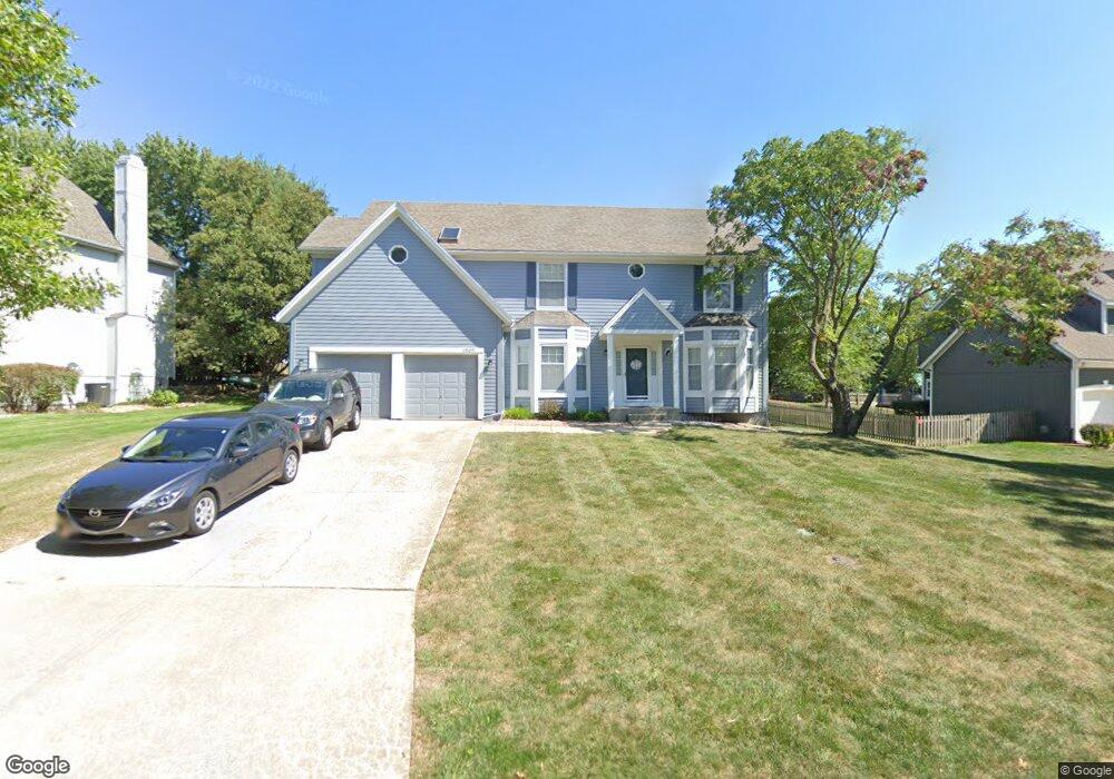
13109 Meadow Ln Leawood, KS 66209
Estimated Value: $625,589 - $738,000
4
Beds
4
Baths
2,952
Sq Ft
$224/Sq Ft
Est. Value
About This Home
This home is located at 13109 Meadow Ln, Leawood, KS 66209 and is currently estimated at $660,897, approximately $223 per square foot. 13109 Meadow Ln is a home located in Johnson County with nearby schools including Mission Trail Elementary School, Leawood Middle School, and Blue Valley North High School.
Ownership History
Date
Name
Owned For
Owner Type
Purchase Details
Closed on
Dec 9, 2003
Sold by
Decus Paul W and Decus Rosemarie
Bought by
Dicus Paul W and Dicus Rosemarie
Current Estimated Value
Home Financials for this Owner
Home Financials are based on the most recent Mortgage that was taken out on this home.
Original Mortgage
$50,000
Interest Rate
6.09%
Mortgage Type
New Conventional
Create a Home Valuation Report for This Property
The Home Valuation Report is an in-depth analysis detailing your home's value as well as a comparison with similar homes in the area
Home Values in the Area
Average Home Value in this Area
Purchase History
| Date | Buyer | Sale Price | Title Company |
|---|---|---|---|
| Dicus Paul W | -- | None Available |
Source: Public Records
Mortgage History
| Date | Status | Borrower | Loan Amount |
|---|---|---|---|
| Previous Owner | Dicus Paul W | $50,000 |
Source: Public Records
Tax History Compared to Growth
Tax History
| Year | Tax Paid | Tax Assessment Tax Assessment Total Assessment is a certain percentage of the fair market value that is determined by local assessors to be the total taxable value of land and additions on the property. | Land | Improvement |
|---|---|---|---|---|
| 2024 | $6,537 | $59,007 | $14,886 | $44,121 |
| 2023 | $6,083 | $54,108 | $14,886 | $39,222 |
| 2022 | $5,863 | $51,049 | $14,886 | $36,163 |
| 2021 | $5,747 | $47,702 | $14,886 | $32,816 |
| 2020 | $5,377 | $49,830 | $14,886 | $34,944 |
| 2019 | $5,625 | $44,942 | $13,538 | $31,404 |
| 2018 | $5,039 | $39,572 | $12,303 | $27,269 |
| 2017 | $4,793 | $37,030 | $10,255 | $26,775 |
| 2016 | $4,504 | $34,856 | $8,549 | $26,307 |
| 2015 | $4,520 | $34,546 | $8,549 | $25,997 |
| 2013 | -- | $34,270 | $7,761 | $26,509 |
Source: Public Records
Map
Nearby Homes
- 2549 W 132nd Terrace
- 12854 Pembroke Cir
- 12851 Pembroke Cir
- 12854 Cambridge Terrace
- 2229 Condolea Terrace
- 2218 Condolea Terrace
- The Forester Plan at East Village
- Fleetwood Villa Plan at East Village
- 12815 Pembroke Cir
- 12725 High Dr
- 13240 Falmouth St
- The Aspen Plan at East Village - Twin Villas
- The Breckenridge 2 Car Plan at East Village - Twin Villas
- The Breckenridge 3 Car Plan at East Village - Twin Villas
- The Basalt Plan at East Village - Twin Villas
- The Avon Plan at East Village - Twin Villas
- 12768 Overbrook Rd
- The Belmont Plan at Regents Park - Twin Home Plans
- The Camden Plan at Regents Park - Twin Home Plans
- The Kensington Plan at Regents Park - Twin Home Plans
- 13105 Meadow Ln
- 13113 Meadow Ln
- 13104 Pembroke Ln
- 13108 Pembroke Ln
- 13108 Meadow Ln
- 13101 Meadow Ln
- 13112 Meadow Ln
- 13117 Meadow Ln
- 13104 Meadow Ln
- 2301 Kenneth Rd
- 13116 Meadow Ln
- 13100 Meadow Ln
- 2309 W 131st St
- 2649 W 131st Terrace
- 2653 W 131st Terrace
- 13120 Meadow Ln
- 2645 W 131st Terrace
- 13007 Meadow Ln
- 13020 Pembroke Ln
- 2661 W 131st Terrace