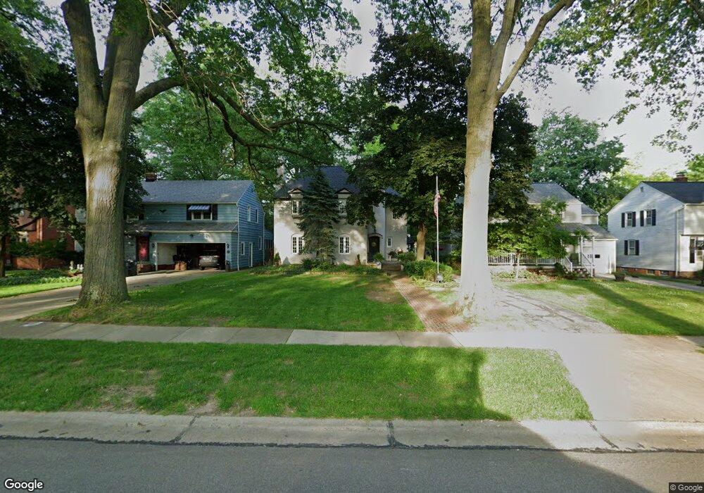
1311 Ford Rd Cleveland, OH 44124
Estimated Value: $256,899 - $311,000
3
Beds
2
Baths
1,770
Sq Ft
$155/Sq Ft
Est. Value
About This Home
This home is located at 1311 Ford Rd, Cleveland, OH 44124 and is currently estimated at $273,475, approximately $154 per square foot. 1311 Ford Rd is a home located in Cuyahoga County with nearby schools including Sunview Elementary School, Greenview Upper Elementary School, and Memorial Junior High School.
Ownership History
Date
Name
Owned For
Owner Type
Purchase Details
Closed on
Apr 8, 2005
Sold by
Lanese Craig A and Lanese Barbara A
Bought by
Benz Virginia F
Current Estimated Value
Home Financials for this Owner
Home Financials are based on the most recent Mortgage that was taken out on this home.
Original Mortgage
$125,000
Outstanding Balance
$62,362
Interest Rate
5.88%
Mortgage Type
Purchase Money Mortgage
Estimated Equity
$211,113
Purchase Details
Closed on
Nov 25, 1997
Sold by
Bresnicky James P
Bought by
Lanese Craig A and Lanese Barbara A
Home Financials for this Owner
Home Financials are based on the most recent Mortgage that was taken out on this home.
Original Mortgage
$40,000
Interest Rate
7.38%
Mortgage Type
New Conventional
Purchase Details
Closed on
Jan 1, 1975
Bought by
Bresnicky James P and Bresnicky Joan O
Create a Home Valuation Report for This Property
The Home Valuation Report is an in-depth analysis detailing your home's value as well as a comparison with similar homes in the area
Home Values in the Area
Average Home Value in this Area
Purchase History
We collect this data history from publicly available records. To have your information removed, we recommend requesting removal directly through your county’s website.
| Date | Buyer | Sale Price | Title Company |
|---|---|---|---|
| Benz Virginia F | $235,000 | Title Xperts Agency Inc | |
| Lanese Craig A | $161,500 | -- | |
| Bresnicky James P | -- | -- |
Source: Public Records
Mortgage History
We collect this data history from publicly available records. To have your information removed, we recommend requesting removal directly through your county’s website.
| Date | Status | Borrower | Loan Amount |
|---|---|---|---|
| Open | Benz Virginia F | $125,000 | |
| Previous Owner | Lanese Craig A | $40,000 |
Source: Public Records
Tax History
| Year | Tax Paid | Tax Assessment Tax Assessment Total Assessment is a certain percentage of the fair market value that is determined by local assessors to be the total taxable value of land and additions on the property. | Land | Improvement |
|---|---|---|---|---|
| 2025 | $6,346 | $82,250 | $12,495 | $69,755 |
| 2024 | $5,698 | $82,250 | $12,495 | $69,755 |
| 2023 | $5,402 | $62,900 | $10,710 | $52,190 |
| 2022 | $5,371 | $62,895 | $10,710 | $52,185 |
| 2021 | $5,325 | $62,900 | $10,710 | $52,190 |
| 2020 | $4,989 | $51,560 | $8,790 | $42,770 |
| 2019 | $4,496 | $147,300 | $25,100 | $122,200 |
| 2018 | $4,754 | $51,560 | $8,790 | $42,770 |
| 2017 | $5,076 | $53,970 | $8,890 | $45,080 |
| 2016 | $5,037 | $53,970 | $8,890 | $45,080 |
| 2015 | $5,554 | $53,970 | $8,890 | $45,080 |
| 2014 | $5,554 | $55,060 | $9,070 | $45,990 |
Source: Public Records
Map
Nearby Homes
- 1291 Haverston Rd
- 1339 Haverston Rd
- 1274 Croyden Rd
- 1360 Croyden Rd
- 1233 Brainard Rd
- 1342 Beaconfield Rd
- 1192 Blanchester Rd
- 1367 Churchill Rd
- 1461 Iroquois Ave
- 1372 Churchill Rd
- 1140 Iroquois Ave
- 1207 Irene Rd
- 1516 Biltmore Rd
- 1066 Eastlawn Dr
- 1548 Biltmore Rd
- 5284 Edenhurst Rd
- 1608 Sunview Rd
- 5268 Edenhurst Rd
- 5823 Ridgebury Blvd
- 1663 Lyndhurst Rd
Your Personal Tour Guide
Ask me questions while you tour the home.