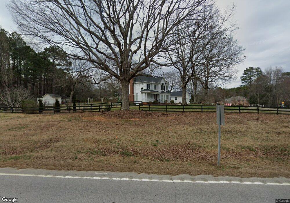
Estimated Value: $431,923 - $602,000
--
Bed
1
Bath
2,122
Sq Ft
$237/Sq Ft
Est. Value
About This Home
This home is located at 1311 Leland Ct, York, SC 29745 and is currently estimated at $503,731, approximately $237 per square foot. 1311 Leland Ct is a home located in York County with nearby schools including Griggs Road Elementary School, Clover Middle School, and Clover High School.
Ownership History
Date
Name
Owned For
Owner Type
Purchase Details
Closed on
Jun 30, 2010
Sold by
Hilton John M
Bought by
Rapp Terry and Rapp Kathleen S
Current Estimated Value
Home Financials for this Owner
Home Financials are based on the most recent Mortgage that was taken out on this home.
Original Mortgage
$204,000
Outstanding Balance
$136,034
Interest Rate
4.79%
Mortgage Type
New Conventional
Estimated Equity
$367,697
Purchase Details
Closed on
Oct 12, 2000
Sold by
Bradshaw Lane Co Llc
Bought by
Hilton John M
Create a Home Valuation Report for This Property
The Home Valuation Report is an in-depth analysis detailing your home's value as well as a comparison with similar homes in the area
Home Values in the Area
Average Home Value in this Area
Purchase History
| Date | Buyer | Sale Price | Title Company |
|---|---|---|---|
| Rapp Terry | $255,000 | -- | |
| Hilton John M | $199,500 | -- |
Source: Public Records
Mortgage History
| Date | Status | Borrower | Loan Amount |
|---|---|---|---|
| Open | Rapp Terry | $204,000 |
Source: Public Records
Tax History Compared to Growth
Tax History
| Year | Tax Paid | Tax Assessment Tax Assessment Total Assessment is a certain percentage of the fair market value that is determined by local assessors to be the total taxable value of land and additions on the property. | Land | Improvement |
|---|---|---|---|---|
| 2024 | $933 | $8,600 | $1,800 | $6,800 |
| 2023 | $956 | $8,600 | $1,800 | $6,800 |
| 2022 | $788 | $8,600 | $1,800 | $6,800 |
| 2021 | -- | $8,496 | $1,800 | $6,696 |
| 2020 | $735 | $8,496 | $0 | $0 |
| 2019 | $763 | $8,180 | $0 | $0 |
| 2018 | $767 | $8,180 | $0 | $0 |
| 2017 | $714 | $8,180 | $0 | $0 |
| 2016 | $673 | $8,180 | $0 | $0 |
| 2014 | $659 | $8,180 | $1,520 | $6,660 |
| 2013 | $659 | $7,780 | $1,520 | $6,260 |
Source: Public Records
Map
Nearby Homes
- Lawson Plan at Westport
- Edisto Plan at Westport
- Trent Plan at Westport
- Cedar Plan at Westport
- Cypress Plan at Westport
- Cooper Plan at Westport
- Morgan Plan at Westport
- Birch Plan at Westport
- Ashley Plan at Westport
- Birch Plan at Westport - Freedom
- Cypress Plan at Westport - Freedom
- Magnolia Plan at Westport
- Aspen Plan at Westport - Freedom
- Sycamore Plan at Westport
- Jordan Plan at Westport
- Willow Plan at Westport
- Hickory Plan at Westport
- Greenwood Plan at Westport
- Norman Plan at Westport
- Cedar Plan at Westport - Freedom
- 1311 Leland Ct
- 1317 Leland Ct
- 6677 Campbell Rd
- 1321 Leland Ct
- 6606 White Ash Rd
- 1308 Leland Ct
- 6605 White Ash Rd
- 6633 Campbell Rd
- 6695 Campbell Rd
- 1333 Leland Ct
- 6614 White Ash Rd
- 6730 Campbell Rd
- 1324 Leland Ct
- 1341 Leland Ct
- 6611 White Ash Ct
- 6655 Campbell Rd
- 1295 S Paraham Rd
- 1406 Tamarack Dr
- 6611 White Ash Rd
- 1347 Leland Ct
