1311 Michael Ct Unit 1595 Bayside, NY 11360
Bayside NeighborhoodEstimated Value: $905,000 - $1,114,000
Studio
--
Bath
1,800
Sq Ft
$571/Sq Ft
Est. Value
About This Home
This home is located at 1311 Michael Ct Unit 1595, Bayside, NY 11360 and is currently estimated at $1,027,205, approximately $570 per square foot. 1311 Michael Ct Unit 1595 is a home located in Queens County with nearby schools including P.S. 209 - Clearview Gardens, J.H.S. 194 William Carr, and Bayside High School.
Ownership History
Date
Name
Owned For
Owner Type
Purchase Details
Closed on
Mar 24, 1995
Sold by
Lee Chae Un
Bought by
Kim Jae Suk and Kim Soon Hoe
Current Estimated Value
Home Financials for this Owner
Home Financials are based on the most recent Mortgage that was taken out on this home.
Original Mortgage
$160,000
Interest Rate
8.55%
Mortgage Type
Purchase Money Mortgage
Create a Home Valuation Report for This Property
The Home Valuation Report is an in-depth analysis detailing your home's value as well as a comparison with similar homes in the area
Home Values in the Area
Average Home Value in this Area
Purchase History
| Date | Buyer | Sale Price | Title Company |
|---|---|---|---|
| Kim Jae Suk | $275,000 | Commonwealth Land Title Ins |
Source: Public Records
Mortgage History
| Date | Status | Borrower | Loan Amount |
|---|---|---|---|
| Closed | Kim Jae Suk | $160,000 |
Source: Public Records
Tax History
| Year | Tax Paid | Tax Assessment Tax Assessment Total Assessment is a certain percentage of the fair market value that is determined by local assessors to be the total taxable value of land and additions on the property. | Land | Improvement |
|---|---|---|---|---|
| 2025 | $10,549 | $52,921 | $3,992 | $48,929 |
| 2024 | $10,549 | $52,522 | $4,334 | $48,188 |
| 2023 | $9,952 | $49,550 | $3,637 | $45,913 |
| 2022 | $6,999 | $63,131 | $4,973 | $58,158 |
| 2021 | $9,281 | $55,954 | $4,973 | $50,981 |
| 2020 | $9,335 | $56,503 | $4,973 | $51,530 |
| 2019 | $9,156 | $57,054 | $4,973 | $52,081 |
| 2018 | $8,417 | $41,292 | $4,875 | $36,417 |
| 2017 | $7,941 | $38,955 | $4,697 | $34,258 |
| 2016 | $7,347 | $38,955 | $4,697 | $34,258 |
| 2015 | $4,213 | $36,751 | $4,370 | $32,381 |
| 2014 | $4,213 | $36,474 | $4,281 | $32,193 |
Source: Public Records
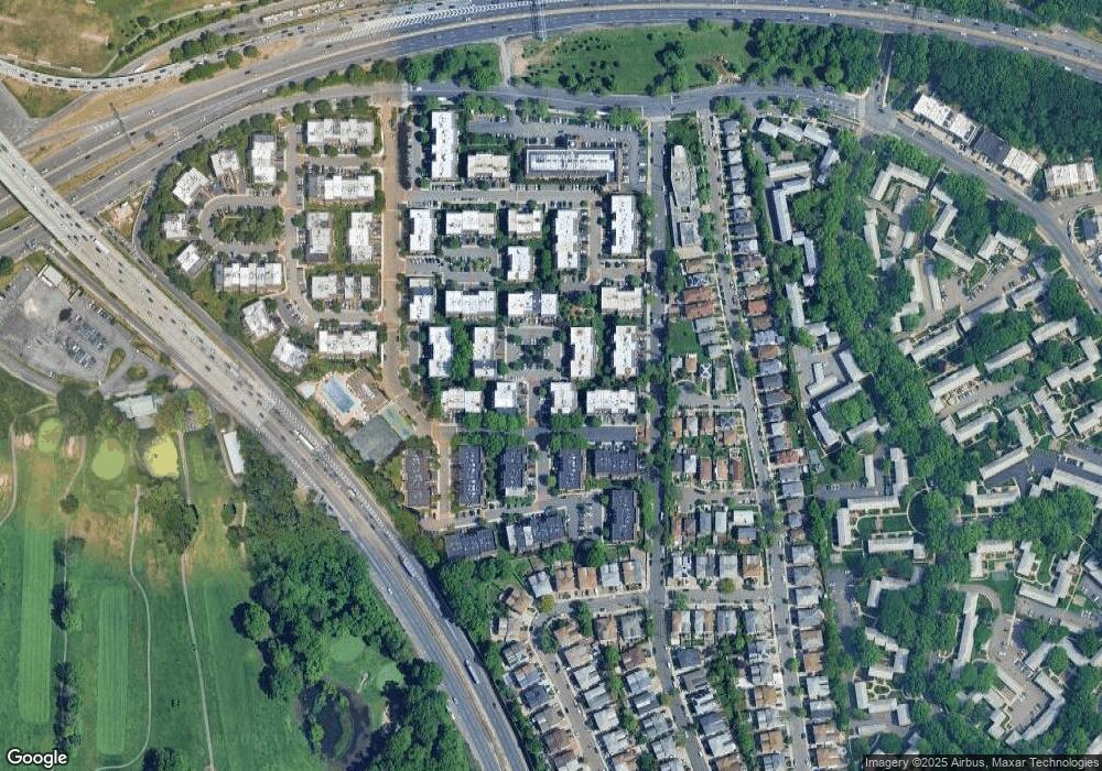
Map
Nearby Homes
- 208-06 Robert Rd Unit 2
- 12-32 Diane Place Unit 204L
- 208-08 Estates Dr Unit 22125
- 20716 Melissa Ct Unit 1653
- 13-25 Estates Ln Unit 3F
- 20701 Estates Dr Unit 2nd FL - Unit 146M
- 14-14 Bonnie Ln
- 12-29 Estates Ln
- 1229 Estates Ln Unit TRIPLEX
- 210 E 15th St Unit 2D
- 210 E 15th St Unit 1A
- 210 E 15th St Unit 9L
- 210 E 15th St Unit 5H
- 13-16 212th St Unit Upper
- 12-31 Robin Ln Unit Triplex
- 208-18 15th Rd
- 13-61 212th St Unit 2
- 14-50 212th St Unit 102
- 12-06 Robin Ln Unit 1028
- 15-47 209th St
- 1311 Michael Ct Unit 163
- 1311 Michael Ct
- 1311 Michael Ct Unit 1596
- 13-15 Michael Ct
- 1315 Michael Ct
- 1315 Michael Ct
- 13-15 Michael Ct Unit 162L
- 13-15 Michael Ct Unit 162U
- 1315 Michael Ct Unit 1594
- 1315 Michael Ct Unit 1593
- 1309 Michael Ct
- 1309 Michael Ct
- 1309 Michael Ct
- 1309 Michael Ct Unit 164M
- 13-17 Michael Ct Unit 161L
- 1317 Michael Ct Unit 161
- 1317 Michael Ct Unit 161
- 13-17 Michael Ct
- 1317 Michael Ct Unit 1592
- 1317 Michael Ct Unit 1591
Your Personal Tour Guide
Ask me questions while you tour the home.