1311 Michael Ct Unit 1596 Bayside, NY 11360
Bayside NeighborhoodEstimated Value: $979,000 - $1,160,000
--
Bed
--
Bath
1,940
Sq Ft
$542/Sq Ft
Est. Value
About This Home
This home is located at 1311 Michael Ct Unit 1596, Bayside, NY 11360 and is currently estimated at $1,051,033, approximately $541 per square foot. 1311 Michael Ct Unit 1596 is a home located in Queens County with nearby schools including P.S. 209 - Clearview Gardens, J.H.S. 194 William Carr, and Bayside High School.
Ownership History
Date
Name
Owned For
Owner Type
Purchase Details
Closed on
Mar 3, 2016
Sold by
Bendrihem Deceased Molly and Bendrihem Bendrihem
Bought by
Bendrihem Maurice and Secunda Judy
Current Estimated Value
Create a Home Valuation Report for This Property
The Home Valuation Report is an in-depth analysis detailing your home's value as well as a comparison with similar homes in the area
Home Values in the Area
Average Home Value in this Area
Purchase History
| Date | Buyer | Sale Price | Title Company |
|---|---|---|---|
| Bendrihem Maurice | -- | -- |
Source: Public Records
Tax History Compared to Growth
Tax History
| Year | Tax Paid | Tax Assessment Tax Assessment Total Assessment is a certain percentage of the fair market value that is determined by local assessors to be the total taxable value of land and additions on the property. | Land | Improvement |
|---|---|---|---|---|
| 2025 | $9,000 | $46,562 | $4,108 | $42,454 |
| 2024 | $9,012 | $46,211 | $4,454 | $41,757 |
| 2023 | $8,475 | $43,596 | $3,744 | $39,852 |
| 2022 | $7,924 | $55,220 | $5,084 | $50,136 |
| 2021 | $7,870 | $49,033 | $5,084 | $43,949 |
| 2020 | $7,917 | $49,506 | $5,084 | $44,422 |
| 2019 | $7,763 | $49,982 | $5,084 | $44,898 |
| 2018 | $7,108 | $36,330 | $4,977 | $31,353 |
| 2017 | $6,687 | $34,274 | $4,794 | $29,480 |
| 2016 | $6,154 | $34,274 | $4,794 | $29,480 |
| 2015 | $3,680 | $32,335 | $4,461 | $27,874 |
| 2014 | $3,680 | $32,091 | $4,467 | $27,624 |
Source: Public Records
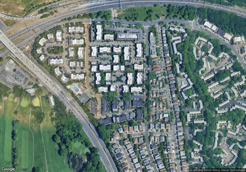
Map
Nearby Homes
- 12-34 Diane Place Unit 205 U
- 208-06 Robert Rd Unit 2
- 12-32 Diane Place Unit 204L
- 13-25 Estates Ln Unit 3F
- 14-04 Michael Place Unit 113 U
- 208-08 Estates Dr Unit 22125
- 14-14 Bonnie Ln
- 1404 Bonnie Ln Unit 15803
- 12-36 Estates Ln Unit 49 L
- 12-30 Estates Ln Unit 2
- 12-35 Robin Ln Unit Upper
- 12-31 Robin Ln Unit Triplex
- 1338 Robin Ln Unit 1212
- 210 E 15th St Unit 2N
- 210 E 15th St Unit 1A
- 13-40 212th St Unit 141
- 20607 Emily Rd Unit 3
- 208-18 15th Rd
- 13-10 212th St Unit 118
- 12-06 Robin Ln Unit 1028
- 1311 Michael Ct Unit 163
- 1311 Michael Ct
- 1311 Michael Ct Unit 1595
- 13-15 Michael Ct
- 1315 Michael Ct
- 1315 Michael Ct
- 13-15 Michael Ct Unit 162L
- 13-15 Michael Ct Unit 162U
- 1315 Michael Ct Unit 1594
- 1315 Michael Ct Unit 1593
- 1309 Michael Ct
- 1309 Michael Ct
- 1309 Michael Ct
- 1309 Michael Ct Unit 164M
- 13-17 Michael Ct Unit 161L
- 1317 Michael Ct Unit 161
- 1317 Michael Ct Unit 161
- 13-17 Michael Ct
- 1317 Michael Ct Unit 1592
- 1317 Michael Ct Unit 1591