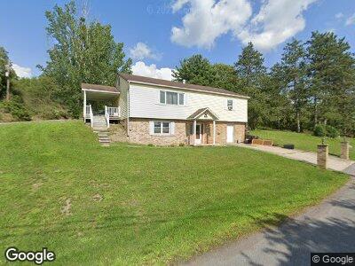
1312 No 1 Rd Cairnbrook, PA 15924
Shade Township NeighborhoodEstimated Value: $79,000 - $124,000
3
Beds
1
Bath
1,748
Sq Ft
$60/Sq Ft
Est. Value
About This Home
This home is located at 1312 No 1 Rd, Cairnbrook, PA 15924 and is currently estimated at $104,515, approximately $59 per square foot. 1312 No 1 Rd is a home located in Somerset County with nearby schools including Cairnbrook Elementary School and Shade Junior/Senior High School.
Ownership History
Date
Name
Owned For
Owner Type
Purchase Details
Closed on
Jul 6, 2018
Sold by
Ames Rose M
Bought by
Berkebile Sara
Current Estimated Value
Home Financials for this Owner
Home Financials are based on the most recent Mortgage that was taken out on this home.
Original Mortgage
$52,000
Outstanding Balance
$46,172
Interest Rate
4.5%
Mortgage Type
New Conventional
Estimated Equity
$66,637
Purchase Details
Closed on
May 4, 2006
Sold by
Laporta Jeffrey J
Bought by
Ames Rosa M
Create a Home Valuation Report for This Property
The Home Valuation Report is an in-depth analysis detailing your home's value as well as a comparison with similar homes in the area
Home Values in the Area
Average Home Value in this Area
Purchase History
| Date | Buyer | Sale Price | Title Company |
|---|---|---|---|
| Berkebile Sara | $65,000 | None Available | |
| Ames Rosa M | $85,000 | None Available |
Source: Public Records
Mortgage History
| Date | Status | Borrower | Loan Amount |
|---|---|---|---|
| Open | Berkebile Sara | $52,000 |
Source: Public Records
Tax History Compared to Growth
Tax History
| Year | Tax Paid | Tax Assessment Tax Assessment Total Assessment is a certain percentage of the fair market value that is determined by local assessors to be the total taxable value of land and additions on the property. | Land | Improvement |
|---|---|---|---|---|
| 2024 | $1,941 | $31,480 | $0 | $0 |
| 2023 | $1,886 | $31,480 | $0 | $0 |
| 2022 | $1,886 | $31,480 | $0 | $0 |
| 2021 | $1,791 | $31,480 | $0 | $0 |
| 2020 | $1,791 | $31,480 | $0 | $0 |
| 2019 | $1,751 | $31,480 | $0 | $0 |
| 2018 | $1,707 | $31,480 | $4,510 | $26,970 |
| 2017 | $1,707 | $31,480 | $4,510 | $26,970 |
| 2016 | -- | $31,480 | $4,510 | $26,970 |
| 2015 | -- | $31,470 | $4,505 | $26,965 |
| 2014 | -- | $31,470 | $4,505 | $26,965 |
Source: Public Records
Map
Nearby Homes
- 5216 Dark Shade Dr
- 944 Main St
- 1411 & 1415 School Rd
- 1411 School Rd
- 0 Broad Ave
- 0 Broad Ave Unit 1663360
- 641 Lynn St
- 344 Pine St
- 1848 School Rd
- 520 Bunker Hill Rd
- 3324 Ridge Rd
- 1243 Shaffer Mountain Rd
- 0 Fallen Timber Rd Unit 1681743
- 0 Fallen Timber Rd Unit 11149170
- 414 Shawnee
- 0 E Airpark Rd Unit 96034968
- 0 E Airpark Rd Unit 1664268
- 0 Crumb Cemetary Rd Unit 11287373
- Lot # 31 Grouse Point
- 0 Shawnee View Rd Unit 1691908