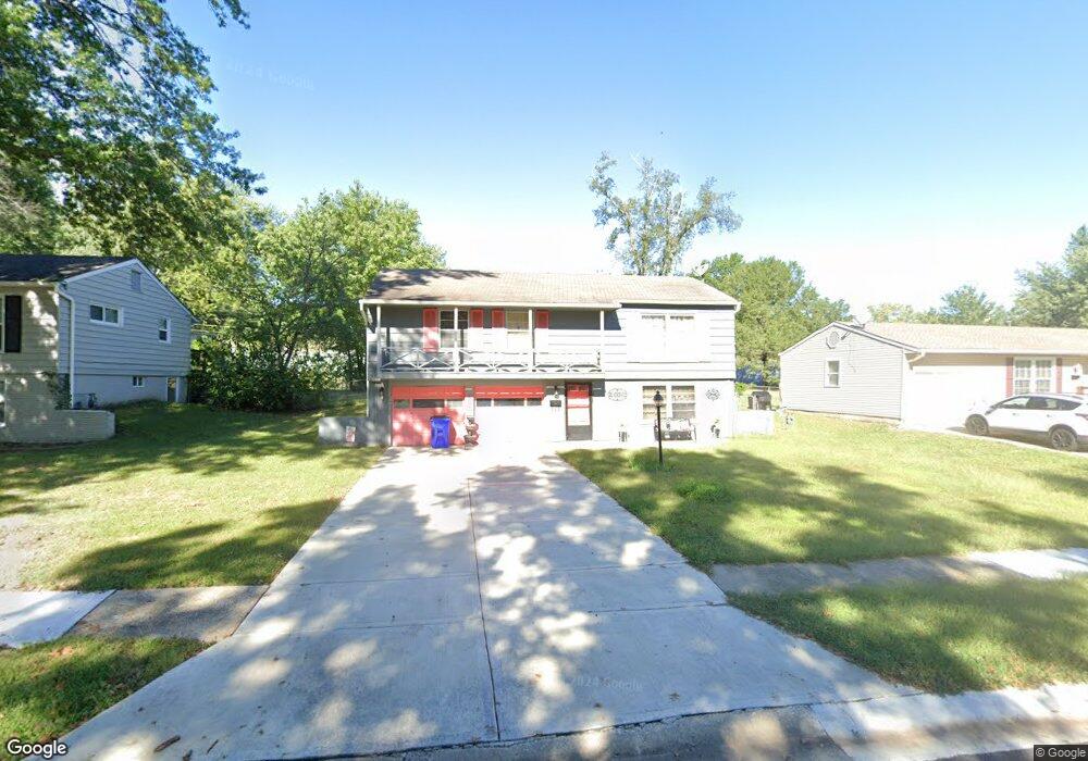
13122 Ashland Ave Grandview, MO 64030
Estimated Value: $177,000 - $203,000
3
Beds
2
Baths
1,008
Sq Ft
$193/Sq Ft
Est. Value
About This Home
This home is located at 13122 Ashland Ave, Grandview, MO 64030 and is currently estimated at $194,622, approximately $193 per square foot. 13122 Ashland Ave is a home located in Jackson County with nearby schools including Meadowmere Elementary School, Grandview Middle, and Grandview High School.
Ownership History
Date
Name
Owned For
Owner Type
Purchase Details
Closed on
Apr 26, 2007
Sold by
Cope Barbara E
Bought by
Dent Desiree
Current Estimated Value
Home Financials for this Owner
Home Financials are based on the most recent Mortgage that was taken out on this home.
Original Mortgage
$94,000
Outstanding Balance
$56,678
Interest Rate
6.1%
Mortgage Type
Purchase Money Mortgage
Estimated Equity
$137,944
Purchase Details
Closed on
Oct 2, 2002
Sold by
Cope Barbara E
Bought by
Cope Barbara E
Create a Home Valuation Report for This Property
The Home Valuation Report is an in-depth analysis detailing your home's value as well as a comparison with similar homes in the area
Home Values in the Area
Average Home Value in this Area
Purchase History
| Date | Buyer | Sale Price | Title Company |
|---|---|---|---|
| Dent Desiree | -- | Coffelt Land Title Inc | |
| Cope Barbara E | -- | -- |
Source: Public Records
Mortgage History
| Date | Status | Borrower | Loan Amount |
|---|---|---|---|
| Open | Dent Desiree | $94,000 |
Source: Public Records
Tax History
| Year | Tax Paid | Tax Assessment Tax Assessment Total Assessment is a certain percentage of the fair market value that is determined by local assessors to be the total taxable value of land and additions on the property. | Land | Improvement |
|---|---|---|---|---|
| 2025 | $2,055 | $25,378 | $5,833 | $19,545 |
| 2024 | $2,020 | $25,270 | $5,734 | $19,536 |
| 2023 | $2,020 | $25,270 | $5,533 | $19,737 |
| 2022 | $1,648 | $19,190 | $4,855 | $14,335 |
| 2021 | $1,646 | $19,190 | $4,855 | $14,335 |
| 2020 | $1,386 | $17,109 | $4,855 | $12,254 |
| 2019 | $1,336 | $17,109 | $4,855 | $12,254 |
| 2018 | $1,031 | $12,282 | $2,699 | $9,583 |
| 2016 | $1,051 | $12,267 | $3,020 | $9,247 |
Source: Public Records
Map
Nearby Homes
- 13310 Donnelly Ave
- 7905 High Grove Rd
- 8209 E 133rd Terrace
- 13250 Park Hills Dr
- 13300 Palmer Ave
- 12912 Sycamore Ave
- 7601 High Grove Rd
- 7505 E 130th St
- 12901 Byars Rd
- 7509 E 127 St
- 13213 Winchester Ave
- 13408 Bristol Ave
- 13429 Winchester Ave
- 12825 Winchester Ave
- 6712 E 134th St
- 13218 Craig Ave
- 6905 E 129th St
- 13616 Winchester Ave
- 12217 Bennington Ave
- 12506 Winchester Ave
- 13126 Ashland Ave
- 13120 Ashland Ave
- 13123 Ashland Ave
- 13127 Ashland Ave
- 13121 Ashland Ave
- 13128 Ashland Ave
- 13116 Ashland Ave
- 13117 Ashland Ave
- 13129 Ashland Ave
- 13115 Herrick Ave
- 13117 Herrick Ave
- 13132 Ashland Ave
- 13115 Ashland Ave
- 13133 Ashland Ave
- 13112 Ashland Ave
- 13121 Herrick Ave
- 13111 Herrick Ave
- 13136 Ashland Ave
- 13111 Ashland Ave
- 13125 Herrick Ave
Your Personal Tour Guide
Ask me questions while you tour the home.