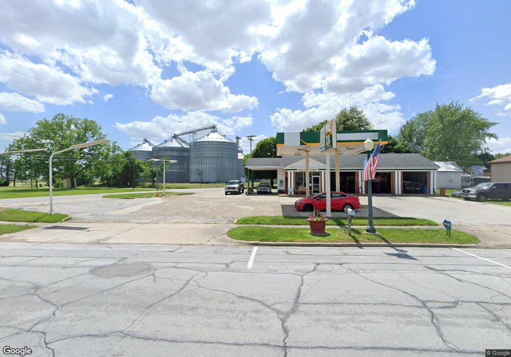
13125 Main St Weston, OH 43569
Studio
1
Bath
2,016
Sq Ft
13,939
Sq Ft Lot
About This Home
This home is located at 13125 Main St, Weston, OH 43569. 13125 Main St is a home located in Wood County with nearby schools including Otsego Elementary School, Otsego Junior High School, and Otsego High School.
Ownership History
Date
Name
Owned For
Owner Type
Purchase Details
Closed on
Mar 7, 2024
Sold by
Green Roof Llc
Bought by
Bomer Craig A
Home Financials for this Owner
Home Financials are based on the most recent Mortgage that was taken out on this home.
Original Mortgage
$170,100
Outstanding Balance
$166,474
Interest Rate
6.69%
Mortgage Type
Seller Take Back
Purchase Details
Closed on
Feb 4, 2008
Sold by
Hillier Thomas J and Hillier Mary Ann
Bought by
Green Roof Llc
Home Financials for this Owner
Home Financials are based on the most recent Mortgage that was taken out on this home.
Original Mortgage
$77,400
Interest Rate
6.75%
Mortgage Type
Commercial
Purchase Details
Closed on
Aug 29, 1995
Sold by
Anderson Irene J
Bought by
Hillier Thomas I and Hillier Maryann
Purchase Details
Closed on
Feb 15, 1994
Sold by
Anderson Kenneth R
Bought by
Anderson Irene J
Purchase Details
Closed on
Jan 1, 1990
Bought by
Anderson Kenneth R
Create a Home Valuation Report for This Property
The Home Valuation Report is an in-depth analysis detailing your home's value as well as a comparison with similar homes in the area
Purchase History
| Date | Buyer | Sale Price | Title Company |
|---|---|---|---|
| Bomer Craig A | $189,900 | None Listed On Document | |
| Green Roof Llc | $86,000 | Attorney | |
| Hillier Thomas I | $85,000 | -- | |
| Anderson Irene J | -- | -- | |
| Anderson Kenneth R | -- | -- |
Source: Public Records
Mortgage History
| Date | Status | Borrower | Loan Amount |
|---|---|---|---|
| Open | Bomer Craig A | $170,100 | |
| Previous Owner | Green Roof Llc | $77,400 |
Source: Public Records
Tax History
| Year | Tax Paid | Tax Assessment Tax Assessment Total Assessment is a certain percentage of the fair market value that is determined by local assessors to be the total taxable value of land and additions on the property. | Land | Improvement |
|---|---|---|---|---|
| 2025 | $1,680 | $30,940 | $6,125 | $24,815 |
| 2024 | $1,688 | $30,940 | $6,125 | $24,815 |
| 2023 | $1,688 | $30,950 | $6,130 | $24,820 |
| 2021 | $1,638 | $27,930 | $6,020 | $21,910 |
| 2020 | $1,658 | $27,930 | $6,020 | $21,910 |
| 2019 | $1,682 | $27,930 | $6,020 | $21,910 |
| 2018 | $1,649 | $27,930 | $6,020 | $21,910 |
| 2017 | $1,609 | $27,930 | $6,020 | $21,910 |
| 2016 | $1,577 | $28,210 | $6,020 | $22,190 |
| 2015 | $1,577 | $28,210 | $6,020 | $22,190 |
| 2014 | $1,620 | $28,210 | $6,020 | $22,190 |
| 2013 | $1,688 | $28,210 | $6,020 | $22,190 |
Source: Public Records
Map
Nearby Homes
- 20175 Taylor St
- 20210 Oak St
- 13439 Ash St
- 21490 Portage Rd
- 0 Otsego Pike Unit 6136991
- 0 Sand Ridge Rd Unit 10004038
- 22487 U S 6
- 17884 Euler Rd
- 15722 Range Line Rd
- 0 Portage Rd Unit 10004034
- 22759 Defiance Pike
- 14590 Liberty Hi Rd
- 17267 Reams Rd
- 17345 Reams Rd
- 0 Kellogg Rd Unit 6125521
- 16920 Long Judson Rd
- 916 Kathy Dr
- 16896 Long Judson Rd
- 1738 Dolly Dr
- 1742 Dolly Dr
- 13135 Main St
- 13110 Main St
- 20525 Locust St
- 20425 Taylor St
- 20530 Taylor St
- 13125 Maple St
- 0 Maple St
- 20410 Taylor St
- 20425 Locust St
- 13135 Maple St
- 13161 Main St
- 20405 Taylor St
- 20415 Locust St
- 20415 Locust St
- 20440 Locust St
- 13179 Main St
- 20430 Locust St
- 12952 Van Tassel Rd
- 20405 Locust St
- 20405 Locust St
Your Personal Tour Guide
Ask me questions while you tour the home.