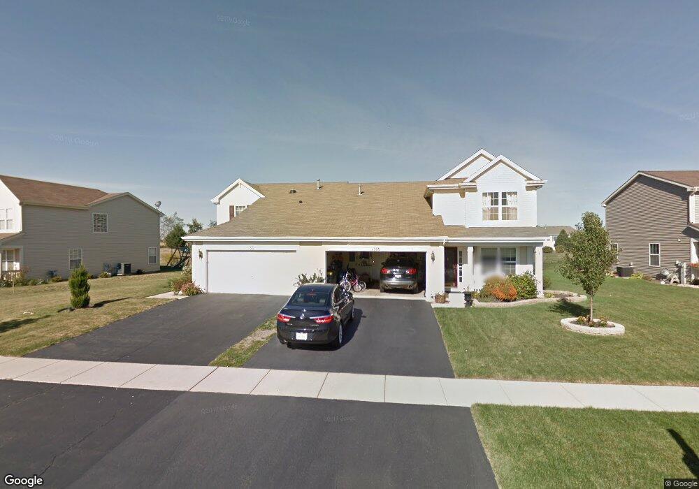
1313 Cape Cod Ln Pingree Grove, IL 60140
Estimated Value: $274,000 - $310,000
Studio
1
Bath
1,424
Sq Ft
$204/Sq Ft
Est. Value
About This Home
This home is located at 1313 Cape Cod Ln, Pingree Grove, IL 60140 and is currently estimated at $290,735, approximately $204 per square foot. 1313 Cape Cod Ln is a home located in Kane County with nearby schools including Hampshire Middle School, Hampshire High School, and Cambridge Lakes Charter School.
Ownership History
Date
Name
Owned For
Owner Type
Purchase Details
Closed on
Nov 29, 2006
Sold by
Drh Cambridge Homes Inc
Bought by
Grajales Leny
Current Estimated Value
Home Financials for this Owner
Home Financials are based on the most recent Mortgage that was taken out on this home.
Original Mortgage
$184,400
Interest Rate
6.24%
Mortgage Type
Purchase Money Mortgage
Create a Home Valuation Report for This Property
The Home Valuation Report is an in-depth analysis detailing your home's value as well as a comparison with similar homes in the area
Home Values in the Area
Average Home Value in this Area
Purchase History
| Date | Buyer | Sale Price | Title Company |
|---|---|---|---|
| Grajales Leny | $194,500 | First American Title |
Source: Public Records
Mortgage History
| Date | Status | Borrower | Loan Amount |
|---|---|---|---|
| Previous Owner | Grajales Leny | $184,400 |
Source: Public Records
Tax History
| Year | Tax Paid | Tax Assessment Tax Assessment Total Assessment is a certain percentage of the fair market value that is determined by local assessors to be the total taxable value of land and additions on the property. | Land | Improvement |
|---|---|---|---|---|
| 2024 | $1,217 | $79,005 | $20,937 | $58,068 |
| 2023 | $1,263 | $71,446 | $18,934 | $52,512 |
| 2022 | $1,283 | $61,631 | $17,457 | $44,174 |
| 2021 | $1,261 | $57,967 | $16,419 | $41,548 |
| 2020 | $1,240 | $56,487 | $16,000 | $40,487 |
| 2019 | $1,225 | $54,216 | $15,357 | $38,859 |
| 2018 | $4,827 | $51,429 | $14,413 | $37,016 |
| 2017 | $1,211 | $48,975 | $13,725 | $35,250 |
| 2016 | $1,206 | $46,625 | $13,066 | $33,559 |
| 2015 | -- | $44,035 | $12,340 | $31,695 |
| 2014 | -- | $43,888 | $12,193 | $31,695 |
| 2013 | -- | $44,693 | $12,417 | $32,276 |
Source: Public Records
Map
Nearby Homes
- 1192 Alta Vista Dr
- 2250 Aurora Dr Unit 24
- 2307 Upland Rd
- 2544 Alison Ave
- 2352 Alison Ave
- 1385 Broadland Dr
- 2368 Alison Ave
- 43W428 U S 20
- 1173 Sonoma Ct
- 1286 Newport Cir
- 1433 Lighthouse Ln
- 1600 Bayberry Ln
- 1720 Bayberry Ln
- 1882 Southern Cir Unit 1882
- 1838 Southern Cir Unit 1838
- 1561 Sequoia Way
- 43w916 Us Highway 20
- 887 Emerald Dr Unit 2
- 1639 Rochester Rd
- 1533 Yosemite Way
- 1309 Cape Cod Ln
- 1317 Cape Cod Ln
- 1305 Cape Cod Ln
- 1321 Cape Cod Ln
- 1325 Cape Cod Ln
- 1301 Cape Cod Ln
- 1959 Peninsula Ct
- 1962 Peninsula Ct
- 1329 Cape Cod Ln
- 1963 Peninsula Ct Unit 15
- 1324 Cape Cod Ln
- 1966 Peninsula Ct
- 1333 Cape Cod Ln
- 1895 Lake Bluff Ln
- 1967 Peninsula Ct
- 1901 Lake Bluff Ln
- 1926 Diamond Head Trail
- 1970 Peninsula Ct
- 1889 Lake Bluff Ln
- 1337 Cape Cod Ln
Your Personal Tour Guide
Ask me questions while you tour the home.