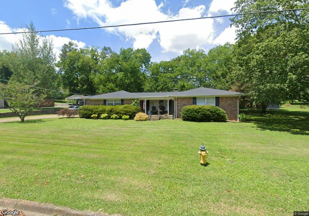
1313 Carroll Dr Pulaski, TN 38478
Estimated Value: $283,588 - $333,000
--
Bed
2
Baths
1,903
Sq Ft
$163/Sq Ft
Est. Value
About This Home
This home is located at 1313 Carroll Dr, Pulaski, TN 38478 and is currently estimated at $310,397, approximately $163 per square foot. 1313 Carroll Dr is a home located in Giles County with nearby schools including Pulaski Elementary School, Southside Elementary School, and Bridgeforth Middle School.
Ownership History
Date
Name
Owned For
Owner Type
Purchase Details
Closed on
Nov 18, 2021
Sold by
Haney Charles D and Haney Donald A
Bought by
Thorn Elliot Dow and Thorn Laura Casey
Current Estimated Value
Home Financials for this Owner
Home Financials are based on the most recent Mortgage that was taken out on this home.
Original Mortgage
$253,326
Outstanding Balance
$231,641
Interest Rate
2.99%
Mortgage Type
FHA
Estimated Equity
$78,756
Purchase Details
Closed on
Jan 6, 2014
Sold by
Bank Of Frankewing
Bought by
Haney Charles D and Haney Donald A
Purchase Details
Closed on
Sep 25, 2013
Sold by
Sanderson John D
Bought by
Bank Of Frankewing
Purchase Details
Closed on
Sep 8, 2006
Sold by
Henry Robert C Attorney In
Bought by
Sanderson John D
Purchase Details
Closed on
Jan 1, 1966
Bought by
Chiles Ben and Chiles Annie
Create a Home Valuation Report for This Property
The Home Valuation Report is an in-depth analysis detailing your home's value as well as a comparison with similar homes in the area
Home Values in the Area
Average Home Value in this Area
Purchase History
| Date | Buyer | Sale Price | Title Company |
|---|---|---|---|
| Thorn Elliot Dow | $258,000 | Bell & Alexander Ttl Svcs In | |
| Haney Charles D | $113,000 | -- | |
| Bank Of Frankewing | $98,775 | -- | |
| Sanderson John D | $148,500 | -- | |
| Chiles Ben | -- | -- |
Source: Public Records
Mortgage History
| Date | Status | Borrower | Loan Amount |
|---|---|---|---|
| Open | Thorn Elliot Dow | $253,326 |
Source: Public Records
Tax History Compared to Growth
Tax History
| Year | Tax Paid | Tax Assessment Tax Assessment Total Assessment is a certain percentage of the fair market value that is determined by local assessors to be the total taxable value of land and additions on the property. | Land | Improvement |
|---|---|---|---|---|
| 2024 | $1,542 | $64,050 | $6,325 | $57,725 |
| 2023 | $1,542 | $64,050 | $6,325 | $57,725 |
| 2022 | $1,542 | $64,050 | $6,325 | $57,725 |
| 2021 | $1,146 | $33,850 | $2,525 | $31,325 |
| 2020 | $1,146 | $33,850 | $2,525 | $31,325 |
| 2019 | $956 | $33,850 | $2,525 | $31,325 |
| 2018 | $1,146 | $33,850 | $2,525 | $31,325 |
| 2017 | $1,146 | $33,850 | $2,525 | $31,325 |
| 2016 | $1,254 | $35,400 | $4,500 | $30,900 |
| 2015 | $1,183 | $35,400 | $4,500 | $30,900 |
| 2014 | $1,183 | $35,404 | $0 | $0 |
Source: Public Records
Map
Nearby Homes
- 1205 Beverly Dr
- 1202 Parker Dr
- 1410 Mill St
- 1041 Jackson Dr
- 1818 Crestview Dr
- 1549 Mill St
- 1817 Crestview Dr
- 929 Kathleen Dr
- 1336 Charlotte Ct
- 1822 Parkview Terrace
- 1200 Mill St
- 910 Abernathy Dr
- 1021 Mill St
- 850 Brenda Dr
- 125 Chicken Creek Rd
- 804 Morgan St
- 803 Nichols St
- 271 Chicken Creek Rd
- 1531 Paulk Ln
- 200 N Tidwell Cir
- 1317 Carroll Dr
- 1311 Carroll Dr
- 1312 Jackson Dr
- 1314 Carroll Dr
- 1310 Jackson Dr
- 1310 Carroll Dr
- 1316 Carroll Dr
- 1319 Carroll Dr
- 1307 Carroll Dr
- 0 Jackson Dr Unit 1567006
- 0 Jackson Dr Unit 2010250
- 1308 Jackson Dr
- 1318 Jackson Dr
- 1308 Carroll Dr
- 1318 Carroll Dr
- 1313 Beverly Dr
- 1315 Beverly Dr
- 1311 Beverly Dr
- 1315 Jackson Dr
- 1313 Jackson Dr