1313 Curtis Corner Rd Wakefield, RI 02879
Estimated Value: $871,115 - $1,073,000
3
Beds
3
Baths
2,336
Sq Ft
$403/Sq Ft
Est. Value
About This Home
This home is located at 1313 Curtis Corner Rd, Wakefield, RI 02879 and is currently estimated at $941,029, approximately $402 per square foot. 1313 Curtis Corner Rd is a home located in Washington County with nearby schools including South Kingstown High School and South Shore School.
Ownership History
Date
Name
Owned For
Owner Type
Purchase Details
Closed on
Jan 3, 2000
Sold by
Stark F Pearce
Bought by
Simmons Keith P and Simmons Kimberly A
Current Estimated Value
Home Financials for this Owner
Home Financials are based on the most recent Mortgage that was taken out on this home.
Original Mortgage
$62,400
Interest Rate
7.71%
Mortgage Type
Purchase Money Mortgage
Create a Home Valuation Report for This Property
The Home Valuation Report is an in-depth analysis detailing your home's value as well as a comparison with similar homes in the area
Home Values in the Area
Average Home Value in this Area
Purchase History
| Date | Buyer | Sale Price | Title Company |
|---|---|---|---|
| Simmons Keith P | $78,000 | -- |
Source: Public Records
Mortgage History
| Date | Status | Borrower | Loan Amount |
|---|---|---|---|
| Closed | Simmons Keith P | $170,000 | |
| Closed | Simmons Keith P | $206,400 | |
| Closed | Simmons Keith P | $62,400 |
Source: Public Records
Tax History Compared to Growth
Tax History
| Year | Tax Paid | Tax Assessment Tax Assessment Total Assessment is a certain percentage of the fair market value that is determined by local assessors to be the total taxable value of land and additions on the property. | Land | Improvement |
|---|---|---|---|---|
| 2025 | $6,098 | $682,100 | $227,900 | $454,200 |
| 2024 | $6,254 | $566,000 | $180,400 | $385,600 |
| 2023 | $6,254 | $566,000 | $180,400 | $385,600 |
| 2022 | $6,198 | $566,000 | $180,400 | $385,600 |
| 2021 | $6,484 | $448,700 | $159,500 | $289,200 |
| 2020 | $6,484 | $448,700 | $159,500 | $289,200 |
| 2019 | $6,484 | $448,700 | $159,500 | $289,200 |
| 2018 | $6,383 | $407,100 | $148,400 | $258,700 |
| 2017 | $6,233 | $407,100 | $148,400 | $258,700 |
| 2016 | $6,143 | $407,100 | $148,400 | $258,700 |
| 2015 | $6,155 | $396,600 | $147,300 | $249,300 |
| 2014 | $6,139 | $396,600 | $147,300 | $249,300 |
Source: Public Records
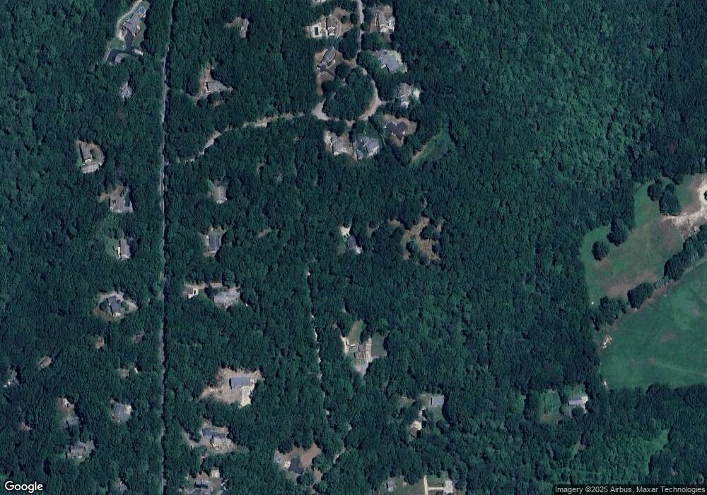
Map
Nearby Homes
- 1708 Ministerial Rd
- 860 Curtis Corner Rd
- 87 Henry Case Way
- 7 Caitlin Ct
- 00 South Rd
- 507 Curtis Corner Rd
- 26 Bramblewood Ln
- 82 Foster Sheldon Rd
- 333 South Rd
- 5 Secluded Dr
- 0 South Rd Unit 1400966
- 1332 South Rd
- 222 Windmill Dr
- 47 Tuckertown Rd
- 58 Vespia Ln
- 42 Ledgewood Rd
- 35 Whittier Dr
- 37 Whittier Dr
- 17 Celestial Heights Dr
- 54 Vespia Ln
- 1313 Curtis Corner Rd Unit A
- 1313 Curtis Corner Rd Unit D
- 1313 Curtis Corner Rd
- 1299 Curtis Corner Rd
- 1959 Ministerial Rd
- 1320 Curtis Corner Rd
- 1345 Curtis Corner Rd
- 1289 Curtis Corner Rd
- 1933 Ministerial Rd
- 1300 Curtis Corner Rd
- 1346 Curtis Corner Rd
- 1975 Ministerial Rd
- 1354 Curtis Corner Rd
- 1919 Ministerial Rd
- 1265 Curtis Corner Rd
- 1275 Curtis Corner Rd
- 1370 Curtis Corner Rd
- 1260 Curtis Corner Rd
- 1897 Ministerial Rd
- 2005 Ministerial Rd