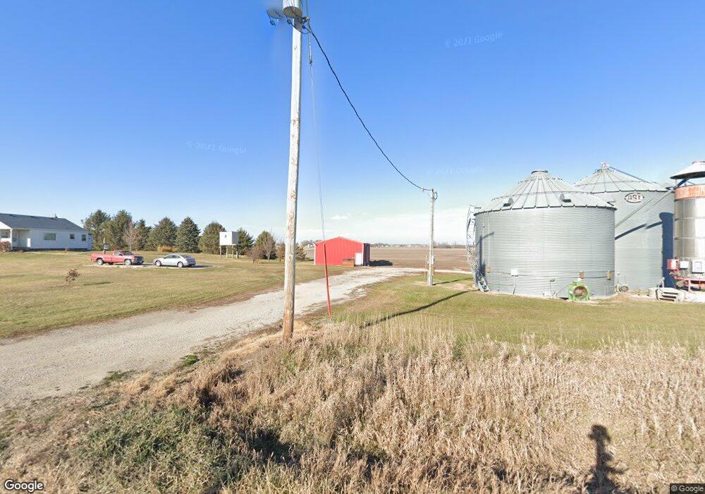
13130 N 107th Ave W Collins, IA 50055
Estimated Value: $246,448 - $393,000
3
Beds
1
Bath
1,072
Sq Ft
$304/Sq Ft
Est. Value
About This Home
This home is located at 13130 N 107th Ave W, Collins, IA 50055 and is currently estimated at $326,112, approximately $304 per square foot. 13130 N 107th Ave W is a home located in Jasper County with nearby schools including Collins-Maxwell Elementary School and Collins-Maxwell Middle/High School.
Ownership History
Date
Name
Owned For
Owner Type
Purchase Details
Closed on
Aug 25, 2021
Sold by
Exchange State Bank
Bought by
Bunn James E
Current Estimated Value
Home Financials for this Owner
Home Financials are based on the most recent Mortgage that was taken out on this home.
Original Mortgage
$102,000
Outstanding Balance
$85,391
Interest Rate
2.7%
Mortgage Type
New Conventional
Estimated Equity
$240,721
Create a Home Valuation Report for This Property
The Home Valuation Report is an in-depth analysis detailing your home's value as well as a comparison with similar homes in the area
Home Values in the Area
Average Home Value in this Area
Purchase History
| Date | Buyer | Sale Price | Title Company |
|---|---|---|---|
| Bunn James E | $142,000 | None Listed On Document |
Source: Public Records
Mortgage History
| Date | Status | Borrower | Loan Amount |
|---|---|---|---|
| Open | Bunn James E | $102,000 |
Source: Public Records
Tax History Compared to Growth
Tax History
| Year | Tax Paid | Tax Assessment Tax Assessment Total Assessment is a certain percentage of the fair market value that is determined by local assessors to be the total taxable value of land and additions on the property. | Land | Improvement |
|---|---|---|---|---|
| 2025 | $2,024 | $209,600 | $76,000 | $133,600 |
| 2024 | $2,024 | $161,980 | $48,400 | $113,580 |
| 2023 | $1,964 | $161,980 | $48,400 | $113,580 |
| 2022 | $2,440 | $174,280 | $48,400 | $125,880 |
| 2021 | $2,198 | $162,570 | $48,400 | $114,170 |
| 2020 | $2,198 | $139,900 | $33,080 | $106,820 |
| 2019 | $1,908 | $126,140 | $0 | $0 |
| 2018 | $1,908 | $126,140 | $0 | $0 |
| 2017 | $1,918 | $126,140 | $0 | $0 |
| 2016 | $1,918 | $126,140 | $0 | $0 |
| 2015 | $1,866 | $119,090 | $0 | $0 |
| 2014 | $1,732 | $119,090 | $0 | $0 |
Source: Public Records
Map
Nearby Homes