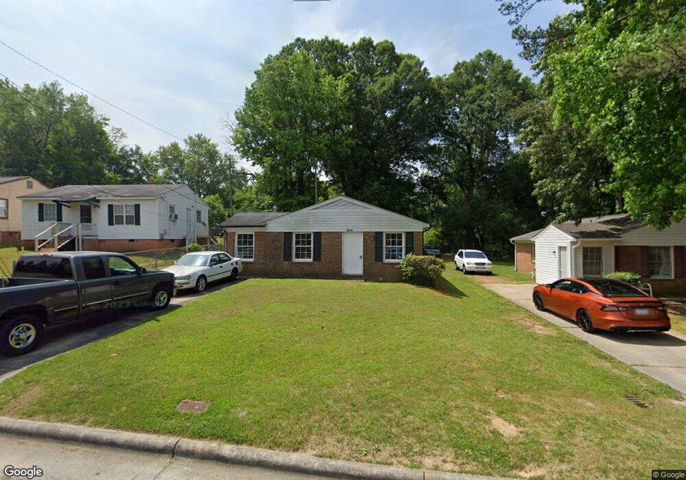
1314 Boundary Ave High Point, NC 27260
Downtown High Point NeighborhoodEstimated Value: $105,000 - $157,260
3
Beds
1
Bath
1,047
Sq Ft
$132/Sq Ft
Est. Value
About This Home
This home is located at 1314 Boundary Ave, High Point, NC 27260 and is currently estimated at $138,065, approximately $131 per square foot. 1314 Boundary Ave is a home located in Guilford County with nearby schools including Kirkman Park Elementary School, Penn-Griffin School for the Arts, and T.W. Andrews High School.
Ownership History
Date
Name
Owned For
Owner Type
Purchase Details
Closed on
Dec 5, 2016
Sold by
King Estates Llc
Bought by
High Poine University
Current Estimated Value
Purchase Details
Closed on
Nov 30, 2015
Sold by
Triple D Properties Llc
Bought by
King Estates Llc
Purchase Details
Closed on
Mar 10, 2011
Sold by
Larry Goins Roth Llc
Bought by
Triple D Properties Llc
Purchase Details
Closed on
Feb 23, 2011
Sold by
White Thomas Harold and White Bernice D
Bought by
Larry Goins Roth Llc
Create a Home Valuation Report for This Property
The Home Valuation Report is an in-depth analysis detailing your home's value as well as a comparison with similar homes in the area
Home Values in the Area
Average Home Value in this Area
Purchase History
| Date | Buyer | Sale Price | Title Company |
|---|---|---|---|
| High Poine University | $52,000 | None Available | |
| King Estates Llc | -- | Attorney | |
| Triple D Properties Llc | $21,000 | None Available | |
| Larry Goins Roth Llc | $14,000 | None Available |
Source: Public Records
Tax History Compared to Growth
Tax History
| Year | Tax Paid | Tax Assessment Tax Assessment Total Assessment is a certain percentage of the fair market value that is determined by local assessors to be the total taxable value of land and additions on the property. | Land | Improvement |
|---|---|---|---|---|
| 2025 | -- | $65,300 | $10,000 | $55,300 |
| 2024 | -- | $65,300 | $10,000 | $55,300 |
| 2023 | -- | $65,300 | $10,000 | $55,300 |
| 2022 | $0 | $65,300 | $10,000 | $55,300 |
| 2021 | $790 | $52,900 | $10,000 | $42,900 |
| 2020 | $790 | $52,900 | $10,000 | $42,900 |
| 2019 | $790 | $0 | $0 | $0 |
| 2018 | $0 | $52,900 | $0 | $0 |
| 2017 | $725 | $52,900 | $0 | $0 |
| 2016 | $794 | $56,600 | $0 | $0 |
| 2015 | $798 | $56,600 | $0 | $0 |
| 2014 | $812 | $56,600 | $0 | $0 |
Source: Public Records
Map
Nearby Homes
- 1515 Graves Ave
- 1528 Graves Ave
- 1508 Boundary Ave
- 1711 Edmondson Place
- 1602 Boundary Ave
- 1604 Boundary Ave
- 1606 Boundary Ave
- 901 Circle Dr
- 828 Willow Place
- 208 Hay St
- 1702 E Martin Luther King Junior Dr
- 1402 Wendell Ave
- 905 Mint Ave
- 1224 S Downing St
- 408 Meredith St
- 1202 Dartmouth Ave
- 408 Hobson St
- 1725 Lamb Ave
- 1201 Pearson Place
- 1418 Wendell Ave
- 1312 Boundary Ave
- 1316 Boundary Ave
- 1310 Boundary Ave
- 1318 Boundary Ave
- 1513 Graves Ave
- 1511 Graves Ave
- 1320 Boundary Ave
- 1517 Graves Ave
- 1308 Boundary Ave
- 1509 Graves Ave
- 1313 Boundary Ave
- 1322 Boundary Ave
- 1315 Boundary Ave
- 1507 Graves Ave
- 1317 Boundary Ave
- 1521 Graves Ave
- 1324 Boundary Ave
- 1306 Boundary Ave
- 1319 Boundary Ave
- 1523 Graves Ave