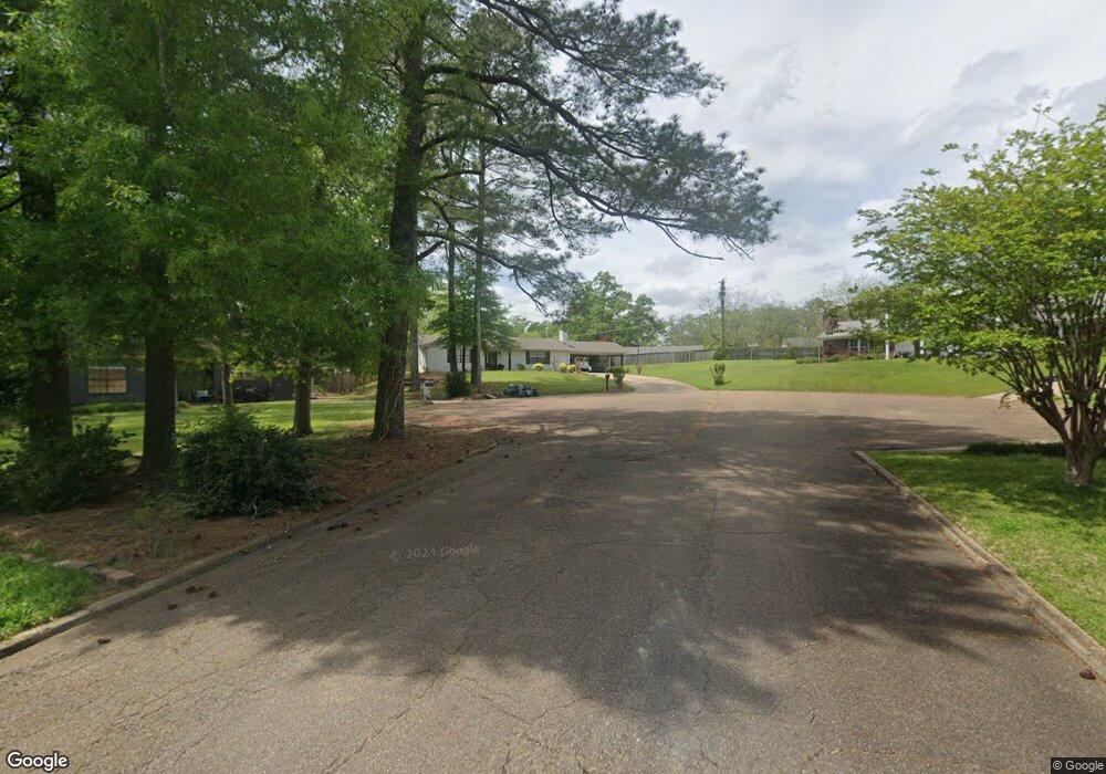
1314 Elm Crest Cove West Point, MS 39773
Estimated Value: $162,033 - $240,000
3
Beds
--
Bath
1,584
Sq Ft
$125/Sq Ft
Est. Value
About This Home
This home is located at 1314 Elm Crest Cove, West Point, MS 39773 and is currently estimated at $197,758, approximately $124 per square foot. 1314 Elm Crest Cove is a home located in Clay County with nearby schools including East Side Elementary School, West Clay Elementary School, and Church Hill Elementary School.
Ownership History
Date
Name
Owned For
Owner Type
Purchase Details
Closed on
Feb 19, 2021
Sold by
Davis Jody Patrick and Reilly Kendall
Bought by
Shuttleworth Morgan
Current Estimated Value
Purchase Details
Closed on
Nov 25, 2014
Sold by
Turner Ellen C and Criddle Betty B
Bought by
Davis Jody Patrick
Home Financials for this Owner
Home Financials are based on the most recent Mortgage that was taken out on this home.
Original Mortgage
$105,102
Interest Rate
4.02%
Mortgage Type
New Conventional
Create a Home Valuation Report for This Property
The Home Valuation Report is an in-depth analysis detailing your home's value as well as a comparison with similar homes in the area
Home Values in the Area
Average Home Value in this Area
Purchase History
| Date | Buyer | Sale Price | Title Company |
|---|---|---|---|
| Shuttleworth Morgan | -- | -- | |
| Davis Jody Patrick | -- | -- |
Source: Public Records
Mortgage History
| Date | Status | Borrower | Loan Amount |
|---|---|---|---|
| Previous Owner | Davis Jody Patrick | $105,102 |
Source: Public Records
Tax History Compared to Growth
Tax History
| Year | Tax Paid | Tax Assessment Tax Assessment Total Assessment is a certain percentage of the fair market value that is determined by local assessors to be the total taxable value of land and additions on the property. | Land | Improvement |
|---|---|---|---|---|
| 2024 | $510 | $12,169 | $2,500 | $9,669 |
| 2023 | $1,242 | $10,300 | $2,500 | $7,800 |
| 2022 | $411 | $10,300 | $2,500 | $7,800 |
| 2021 | $410 | $10,300 | $2,500 | $7,800 |
| 2020 | $410 | $10,300 | $2,500 | $7,800 |
| 2019 | $374 | $10,144 | $2,500 | $7,644 |
| 2018 | $352 | $10,144 | $2,500 | $7,644 |
| 2017 | $352 | $10,144 | $2,500 | $7,644 |
| 2016 | $333 | $10,144 | $2,500 | $7,644 |
| 2015 | $312 | $9,377 | $2,500 | $6,877 |
| 2014 | $102 | $9,377 | $2,500 | $6,877 |
| 2013 | $102 | $9,377 | $2,500 | $6,877 |
Source: Public Records
Map
Nearby Homes
- 219 Mapleview Rd
- 161 Mapleview Rd
- 389 Mapleview Rd
- 15 David St
- 44 Torbert Dr
- 3986 E Church Hill Rd
- 1046 E Brame Ave
- 472 S Eshman Ave
- 329 Converse Dr
- 278 Converse Dr
- 164 Belvedere Ave
- 0 Old Tibbee Rd
- 402 Cromwell St
- 238 Calhoun St
- 346 E Brame Ave
- 551 E Westbrook St
- 480 E Westbrook St
- 1180 E Broad St
- 485 E Westbrook St
- 479 E Westbrook St
- 1324 Elm Crest Cove
- 1246 Pecan Ln
- 1254 Pecan Ln
- 45 Sycamore Dr
- 1308 Sycamore Dr
- 1315 Elm Crest Cove
- 150 Pecan Ln
- 1339 Elm Crest Cove
- 1334 Elm Crest Cove
- 60 Elm Crest Cove
- 1325 Elm Crest Cove
- 1218 Pecan Ln
- 1247 Pecan Ln
- 1259 Pecan Ln
- 1229 Mapleview Rd
- 1320 Sycamore Dr
- 1401 Sycamore Dr
- 1231 Pecan Ln
- 1322 Oak Dr
- 1239 Mapleview Rd