1314 Poor House Rd Lewisburg, TN 37091
Estimated Value: $300,614 - $506,000
--
Bed
2
Baths
1,603
Sq Ft
$234/Sq Ft
Est. Value
About This Home
This home is located at 1314 Poor House Rd, Lewisburg, TN 37091 and is currently estimated at $375,654, approximately $234 per square foot. 1314 Poor House Rd is a home located in Marshall County with nearby schools including Cornersville Elementary School and Cornersville School.
Ownership History
Date
Name
Owned For
Owner Type
Purchase Details
Closed on
Jul 31, 2006
Sold by
Wakefield Alfred R
Bought by
Micky Dalton and Micky Tammy
Current Estimated Value
Home Financials for this Owner
Home Financials are based on the most recent Mortgage that was taken out on this home.
Original Mortgage
$120,000
Outstanding Balance
$71,968
Interest Rate
6.74%
Estimated Equity
$303,686
Purchase Details
Closed on
Jul 6, 2004
Sold by
Susan Burke
Bought by
Linda Porch
Purchase Details
Closed on
Jun 30, 2004
Sold by
Susan Burke
Bought by
Donald Burchell
Create a Home Valuation Report for This Property
The Home Valuation Report is an in-depth analysis detailing your home's value as well as a comparison with similar homes in the area
Home Values in the Area
Average Home Value in this Area
Purchase History
| Date | Buyer | Sale Price | Title Company |
|---|---|---|---|
| Micky Dalton | $150,000 | -- | |
| Linda Porch | $82,740 | -- | |
| Donald Burchell | $13,125 | -- | |
| Alfred Wakefield | $62,500 | -- | |
| Susan Burke | -- | -- |
Source: Public Records
Mortgage History
| Date | Status | Borrower | Loan Amount |
|---|---|---|---|
| Open | Susan Burke | $120,000 |
Source: Public Records
Tax History Compared to Growth
Tax History
| Year | Tax Paid | Tax Assessment Tax Assessment Total Assessment is a certain percentage of the fair market value that is determined by local assessors to be the total taxable value of land and additions on the property. | Land | Improvement |
|---|---|---|---|---|
| 2024 | $971 | $53,375 | $8,800 | $44,575 |
| 2023 | $971 | $53,375 | $8,800 | $44,575 |
| 2022 | $971 | $53,375 | $8,800 | $44,575 |
| 2021 | $938 | $33,375 | $5,675 | $27,700 |
| 2020 | $924 | $33,375 | $5,675 | $27,700 |
| 2019 | $924 | $32,875 | $5,675 | $27,200 |
| 2018 | $908 | $32,875 | $5,675 | $27,200 |
| 2017 | $908 | $32,875 | $5,675 | $27,200 |
| 2016 | $871 | $27,050 | $3,250 | $23,800 |
| 2015 | $871 | $27,050 | $3,250 | $23,800 |
| 2014 | $871 | $27,050 | $3,250 | $23,800 |
Source: Public Records
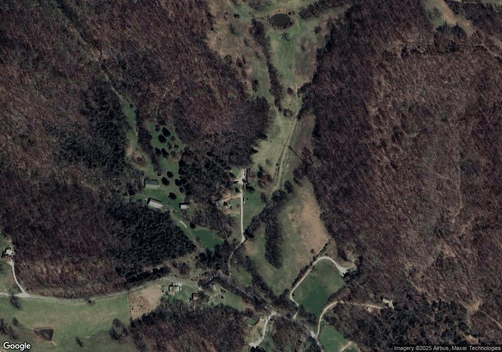
Map
Nearby Homes
- 1377 Poor House Rd
- 1271 Bivins Rd
- 2405 Thompson Rd
- 1277 Coosie Branch Rd
- 127 E Hill St
- 106 Polk St
- 114 Polk St
- 1506 Ellie Claire Way
- 222 Hatchett Hollow Rd
- 3 Hatchett Hollow Rd
- 113 Fairview Ave
- 109 Fairview Ave
- 105 Fairview Ave
- 200 Tarpley Ave
- 207 W Hill St
- 114 Elm St
- 208 S Mulberry St
- 203 Terry Ln
- 104 Terry Ln
- 502 S Main St
- 1316 Poor House Rd
- 1317 Poor House Rd
- 1176 Poor House Rd
- 1185 Poor House Rd
- 0 Beverly Dr Unit 2276288
- 0 Beverly Dr Unit 2274723
- 2425 Beverly Dr
- 1370 Poor House Rd
- 2444 Beverly Dr
- 1390 Poor House Rd
- 2525 Beverly Dr
- 1133 Cheek Rd
- 1265 Cheek Rd
- 1108 Poor House Rd
- 1035 Cheek Rd
- 1655 Cheek Rd
- 1567 Cheek Rd
- 1383 Cheek Rd
- 1045 Cheek Rd
- 1165 Cheek Rd